
Romanovsky District, Altai Krai, human settlement in Russia
Location: Altai Krai
Inception: January 15, 1944
Capital city: Romanovo, Romanovsky District, Altai Krai
Website: http://admromalt.ru
GPS coordinates: 52.61667,81.23333
Latest update: March 3, 2025 16:30
Nagorny Park
188.9 km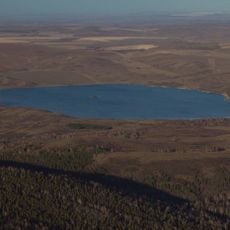
Beloy Lake, Altai Krai
176.3 km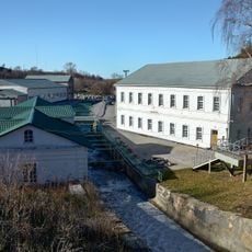
Usine de taille de pierre de Kolyvan
171.2 km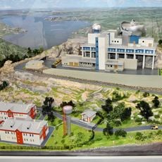
Алтайский оптико-лазерный центр имени Г. С. Титова
154.4 km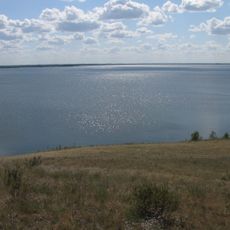
Gilevskoye Vodokhranilishche
175.5 km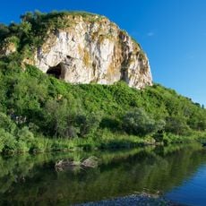
Chagyrskaya Cave
185.4 km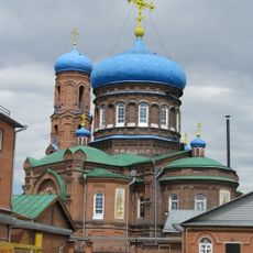
Cathedral of the Protection of the Theotokos
187.9 km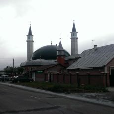
Соборная мечеть (Барнаул)
186.6 km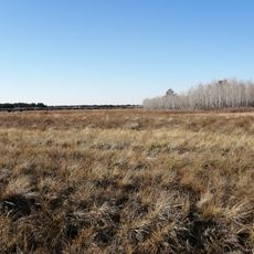
State Forest Nature Reservat "Ertis Ormany"
185.4 km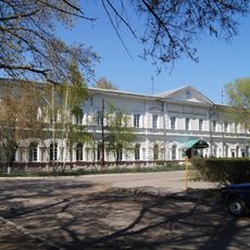
Mining School, Barnaul
188.5 km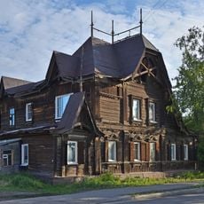
Lesnevsky House
188.3 km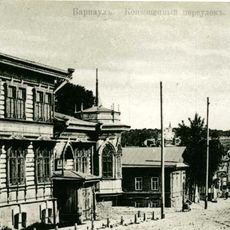
Budkevich Female Gymnasium
188.5 km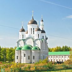
Old Believers' Church of the Intercession
185.8 km
Kilty, Altai Krai
142.7 km
Родино
134.3 km
Kolos, Novoalexandrovsky Selsoviet, Rubtsovsky District, Altai Krai
136.1 km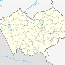
Novosovkhozny
161.6 km
Новоосиновский
160.3 km
Рямы
168.5 km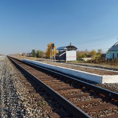
Traktorny
115.5 km
Зимарі (селище)
161.8 km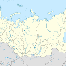
Шиловський (Калманський район)
145.1 km
Дальній (Ребріхинський район)
94.4 km
Центральный
172.4 km
Паново (селище, Ребріхинський район)
73.8 km
Podstepnovsky
61.4 km
Гоноховський
42.1 km
Zarnitsa
109.4 kmReviews
Visited this place? Tap the stars to rate it and share your experience / photos with the community! Try now! You can cancel it anytime.
Discover hidden gems everywhere you go!
From secret cafés to breathtaking viewpoints, skip the crowded tourist spots and find places that match your style. Our app makes it easy with voice search, smart filtering, route optimization, and insider tips from travelers worldwide. Download now for the complete mobile experience.

A unique approach to discovering new places❞
— Le Figaro
All the places worth exploring❞
— France Info
A tailor-made excursion in just a few clicks❞
— 20 Minutes