Irganai Reservoir, reservoir in Russia
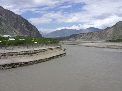
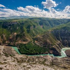
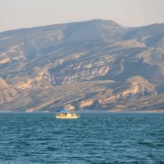
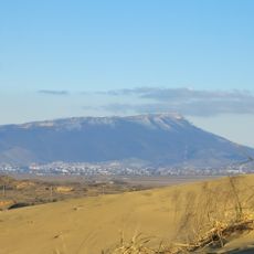
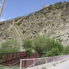
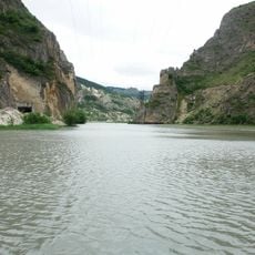
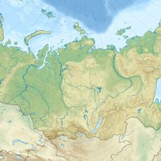
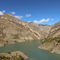
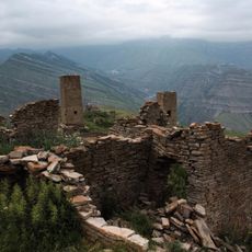
Irganai Reservoir is an artificial lake in the mountains of Dagestan, Russia, formed by a dam built on the Avarskoye Koisu River. It sits within a narrow mountain valley, flanked on both sides by steep rocky slopes that drop directly to the water's edge.
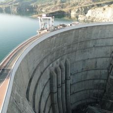
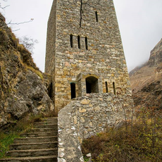
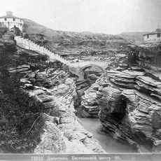
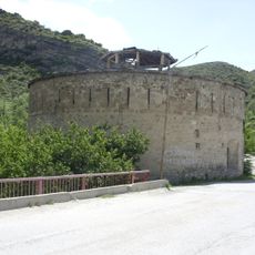
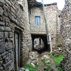
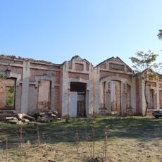
The reservoir was created when the Irganai hydroelectric dam was completed in the 2000s, though the project had been planned since the Soviet era. The flooding of the valley permanently changed the landscape and displaced several small communities that once lived there.
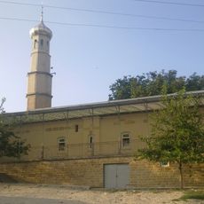
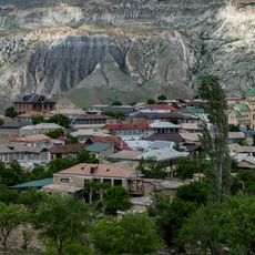
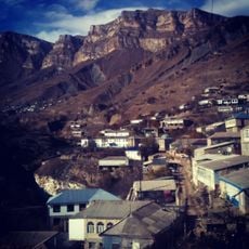
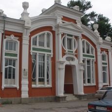
Local people gather along the shores on weekends to fish and walk, and the water has become a natural meeting point for the surrounding villages. The name of the reservoir comes from the nearby settlement of Irganai, which gave the whole area its identity.
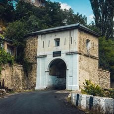
A road runs along the shore and offers several spots with open views over the water, making it easy to stop and look around without needing to hike. Accommodation is available in nearby villages, and the area is accessible year-round, though spring and autumn tend to offer the most comfortable conditions.
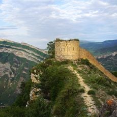
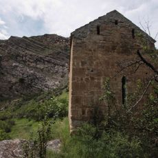
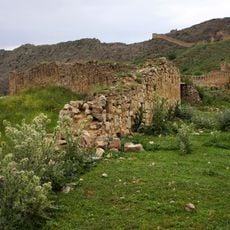
The dam project was first drawn up during the Soviet era but took several decades to complete because construction was repeatedly stopped and restarted. As a result, the remains of old settlements now lie beneath the water, submerged when the valley was finally flooded.
The community of curious travelers
AroundUs brings together thousands of curated places, local tips, and hidden gems, enriched daily by 60,000 contributors worldwide.