
Румяни Балка, human settlement in Novoalexandrovsky District, Stavropol Krai, Russia
Location: Раздольненский сельсовет
GPS coordinates: 45.24972,41.34722
Latest update: March 10, 2025 09:02

Chyornye Zemli Nature Reserve
368.2 km
Strizhament
68.6 km
Sengiley reservour
38.9 km
Maikop kurgan
119.4 km
Stavropol Local Museum
53.8 km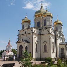
Cathedral of the Kazan Icon of the Mother of God
54.3 km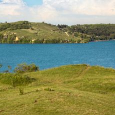
Novotroitskoe Reservoir
14.3 km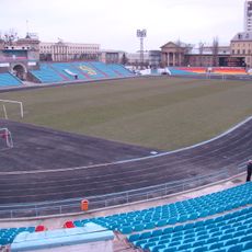
Dynamo Stadium
54.1 km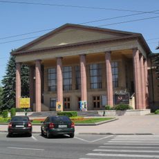
Stavropol Drama Theatre
53.8 km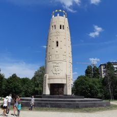
Монумент Памяти и Единения
121.6 km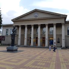
National Theatre of the Republic of Adygeya
121.7 km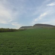
Bryk
125.9 km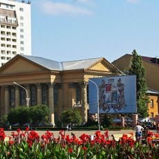
Stavropol Library
54 km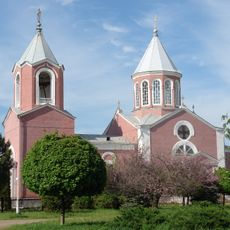
Armenian Church, Armavir, Russia
31.9 km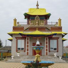
Тантрический монастырь Владыки Зонкавы
102.6 km
Kutsay Mountain
118.1 km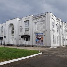
Resurection Church, Maykop
123.8 km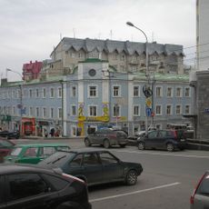
Lycée classique de Stavropol
54.5 km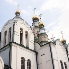
Saint Nicholas Orthodox cathedral in Armavir
32.6 km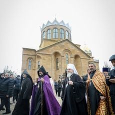
Saint Gregory the Illuminator Church
55.1 km
Храм Апостолов Петра и Павла (Светлоград)
118.1 km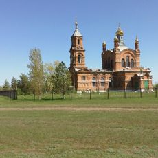
St. George's Church (Sandata)
118.5 km
Краеведческий музей Городовиковска
103.2 km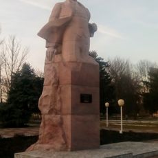
Памятник Ленину (Песчанокопское)
106.2 km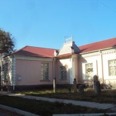
Дом Алиева (Черкесск)
126.1 km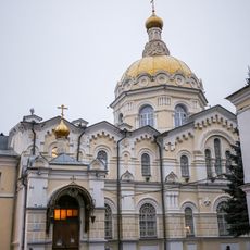
Saint Andrew Orthodox church in Stavropol
53.4 km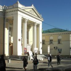
Theater of the Mesnyankin Brothers
54.7 km
Yegorlykskoye Vodokhranilishche
32 kmReviews
Visited this place? Tap the stars to rate it and share your experience / photos with the community! Try now! You can cancel it anytime.
Discover hidden gems everywhere you go!
From secret cafés to breathtaking viewpoints, skip the crowded tourist spots and find places that match your style. Our app makes it easy with voice search, smart filtering, route optimization, and insider tips from travelers worldwide. Download now for the complete mobile experience.

A unique approach to discovering new places❞
— Le Figaro
All the places worth exploring❞
— France Info
A tailor-made excursion in just a few clicks❞
— 20 Minutes