The Solomon Islands in the South Pacific preserve numerous traces of World War II. In Honiara, the National Museum and Vilu War Museum document the Guadalcanal Campaign through collections of artillery pieces, aircraft wrecks, and military equipment. Offshore, sunken warships and planes have become dive sites. The archipelago includes active volcanoes such as Mount Balbi on Bougainville and Tinakula. The Marovo Lagoon ranks among the world's largest saltwater lagoons. Waterfalls include Mataniko Falls near Honiara and Tenaru Falls. The Central Market in Honiara offers local produce, fish, and handicrafts from various provinces across the archipelago.
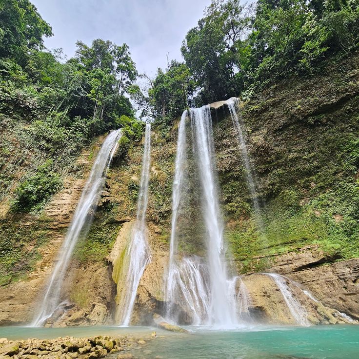
Guadalcanal, Solomon Islands
The Tenaru Falls cascade into the Tenaru River on Guadalcanal. The natural pool at the base of the waterfall offers a swimming opportunity. Access is via a trail through tropical vegetation. Located approximately 30 kilometers east of Honiara, the falls can be reached after a drive through rural areas.
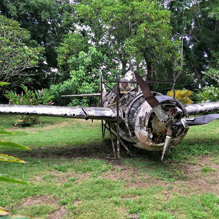
Honiara, Solomon Islands
The Vilu War Museum is located west of Honiara and displays remnants from the Battle of Guadalcanal during World War II. This open-air site features several Japanese aircraft wrecks, including Mitsubishi Zero fighters and Betty bombers, as well as American Wildcat fighters. Visitors can examine rusted artillery pieces, ammunition remnants, and other military equipment from 1942. The exhibits lie partially among tropical vegetation, providing insight into the intense combat that took place here. The museum is maintained by the local community and offers information about the historical events of this region during the Pacific War.
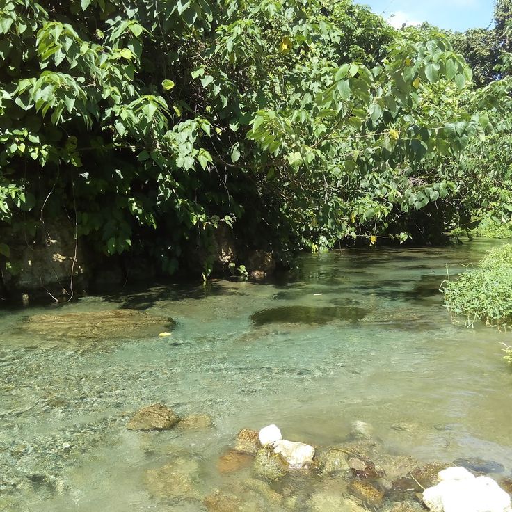
Guadalcanal, Solomon Islands
The wrecks of Bonegi I and Bonegi II rest in shallow waters near the coast of Guadalcanal. These two Japanese cargo ships from World War II sank in 1943 and now serve as diving sites. Bonegi I lies at depths ranging from 10 to 30 meters and displays recognizable structures including cargo holds and machinery. Bonegi II sits in shallower water and is partially visible at low tide. Both vessels provide habitat for corals, tropical fish, and occasionally larger marine species. The dive sites accommodate various experience levels.
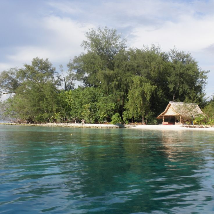
Western Province, Solomon Islands
Kennedy Island sits within the New Georgia group and bears the name of the future American president. In August 1943, Lieutenant John F. Kennedy and the crew of PT-109 patrol boat reached this island after their vessel was rammed by a Japanese destroyer. The crew members swam to the island and were later rescued by local scouts and Allied forces. This event shaped Kennedy's political career and turned the island into a historical World War II site in the South Pacific.
Solomon Islands
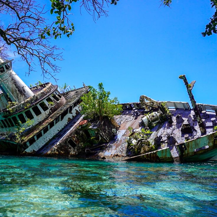
The cruise ship World Discoverer struck a reef in April 2000 and partially sank in the shallow waters off Roderick Bay. The captain deliberately steered the damaged vessel toward the shore to facilitate the evacuation of passengers and crew members. The wreck has remained lying on its side in the shallow water ever since and is visible from the coast. The remains of the former expedition ship now serve as evidence of a maritime accident and attract visitors interested in naval history.
New Georgia, Solomon Islands
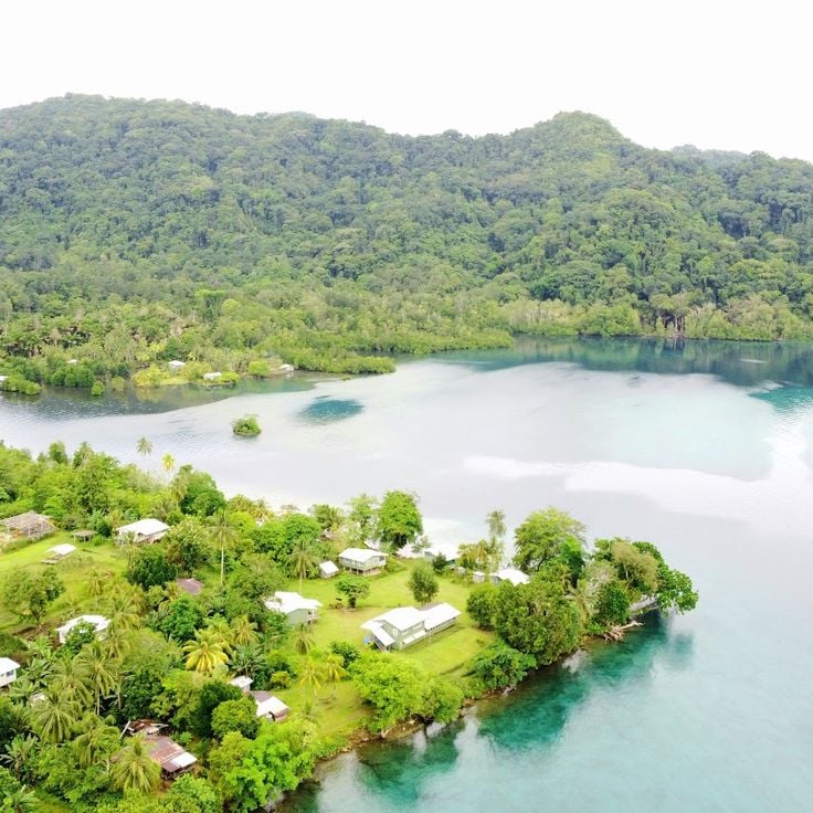
The Marovo Lagoon extends over 700 square kilometres and features a double barrier reef system. The waters of this lagoon host numerous tropical fish species and diverse coral reef formations. The reef structure creates a complex ecosystem with various habitats for marine organisms.
Honiara, Solomon Islands
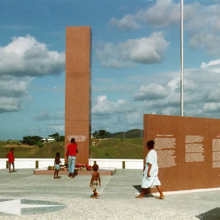
The Guadalcanal American Memorial commemorates the American soldiers who died during the Battle of Guadalcanal between August 1942 and February 1943. Located on a hillside overlooking the coast, the memorial features several obelisks and commemorative plaques bearing the names of the fallen. The Battle of Guadalcanal was one of the decisive confrontations of the Pacific War and marked the first major Allied victory against Japan. This memorial serves as a place of remembrance and tribute to those who sacrificed their lives during this historic campaign.
Guadalcanal, Solomon Islands
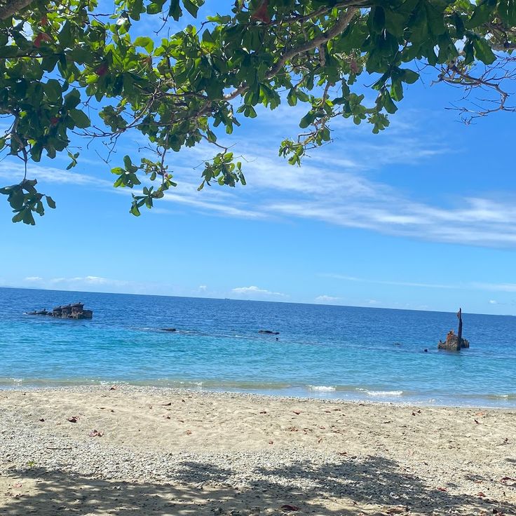
Mbonege Beach stretches along the northern coast of Guadalcanal and features distinctive black volcanic sand. Along the shoreline lie numerous military remains from the Pacific War, including Japanese tanks, artillery pieces, and transport vehicles. These relics date from the intense fighting between August 1942 and February 1943, when American and Japanese forces battled for control of the island. The wrecks are partially overgrown by jungle vegetation and rust in the tropical climate. Visitors can view the historical artifacts from the beach and learn about Guadalcanal's role in World War II. The site serves as an outdoor memorial to the soldiers who fought in the campaign.
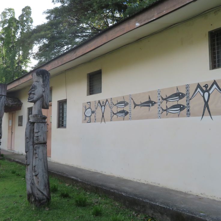
Honiara, Solomon Islands
The National Museum of Solomon Islands presents an extensive collection of traditional objects, archaeological finds, and contemporary artworks by local artists. The exhibition documents 4000 years of history across the archipelago, displaying everyday items, ritual artifacts, tools, and artistic works. The museum offers insights into the diverse cultural traditions of the Melanesian population and the historical development of the islands.
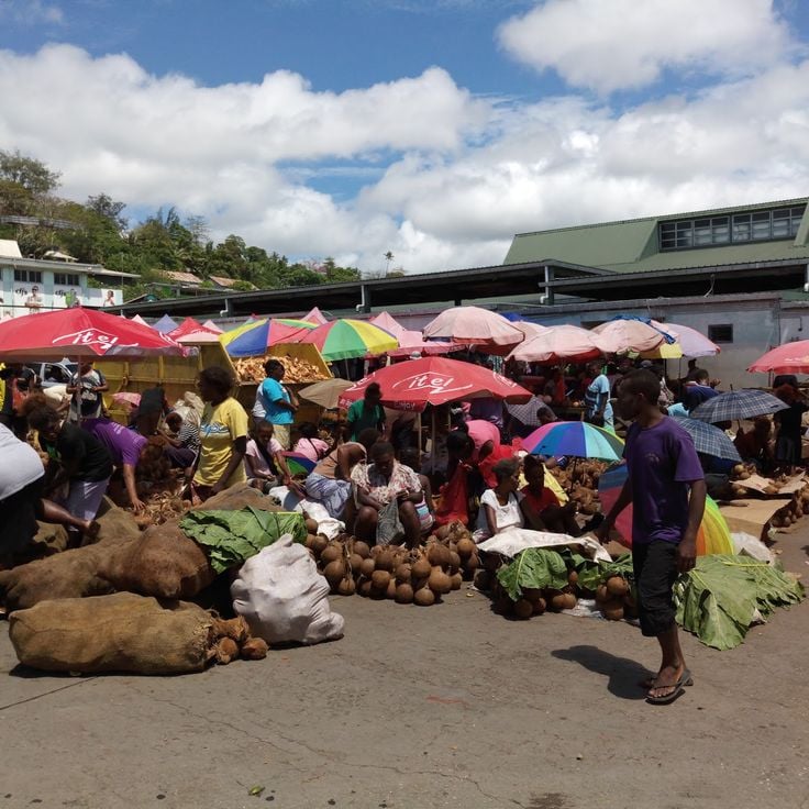
Honiara, Solomon Islands
The Central Market of Honiara stands in the heart of the capital and serves as a major meeting point for locals and visitors. This open-air market offers a wide selection of tropical fruits, fresh regional vegetables, and freshly caught fish every day. Vendors also display handcrafted items and traditional Solomon Islands handicrafts. The market opens early in the morning and provides direct insight into the daily life of Honiara's population.
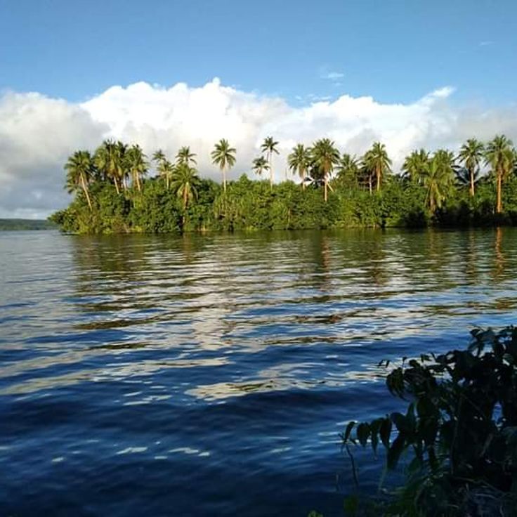
Rennell Island, Solomon Islands
Lake Tegano covers 155 square kilometers on Rennell Island and forms the largest saltwater lake in the South Pacific region. This body of water resulted from the subsidence of a former atoll and receives its saltwater through underground connections to the ocean. The lake supports various species of sea snakes, eels, and crabs that have adapted to the specific conditions of the environment. The surrounding area consists of dense tropical forest and limestone formations. The lake forms part of the East Rennell UNESCO World Heritage Site.
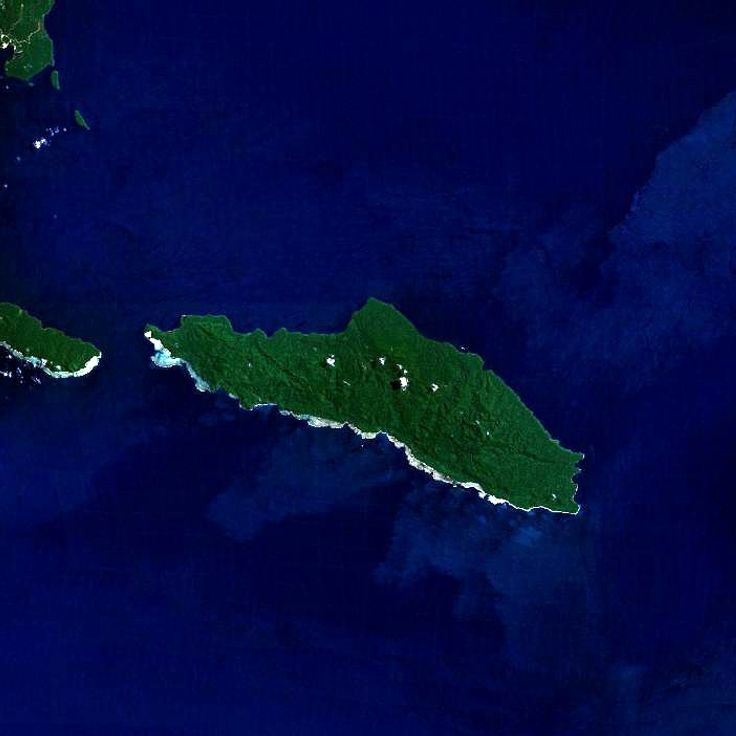
Solomon Islands
Tetepare spans 118 square kilometers and represents the largest uninhabited island in the South Pacific. The island preserves dense rainforest that provides habitat for numerous endemic bird species. Coastal waters around Tetepare offer diving opportunities along intact coral reefs. Sea turtles regularly nest on the beaches throughout the year. Dugongs can be observed in shallow bays, representing some of the rarest marine mammals in the region. The island operates under a community-based conservation program that supports scientific research and sustainable tourism activities.

Solomon Islands
Makira Island spans 3,190 square kilometers in the eastern part of the Solomon Islands. Dense rainforests cover the mountainous terrain, which rises to elevations of 1,200 meters. Numerous rivers traverse the island and flow into coastal waters. The forests support several bird species found nowhere else, including the Makira honeyeater and the Makira leaf warbler. The population lives primarily in coastal villages and maintains traditional ways of life. The island has limited infrastructure and is accessible from the capital Honiara by boat or small aircraft.
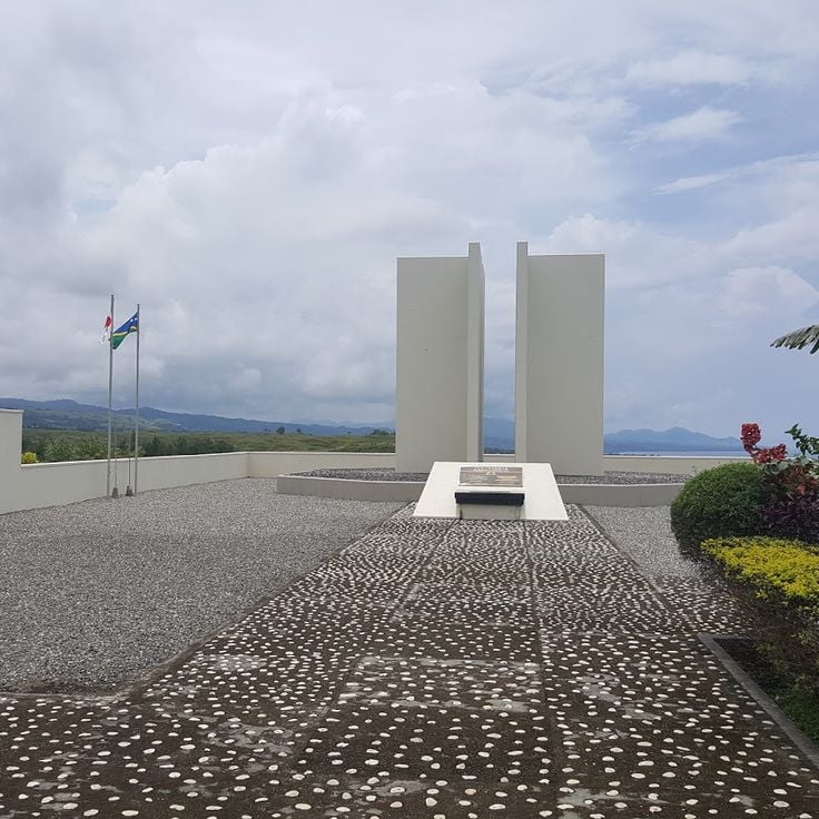
Guadalcanal, Solomon Islands
Commemorative monument with plaques and displayed military items recalling WWII battles in the Pacific.
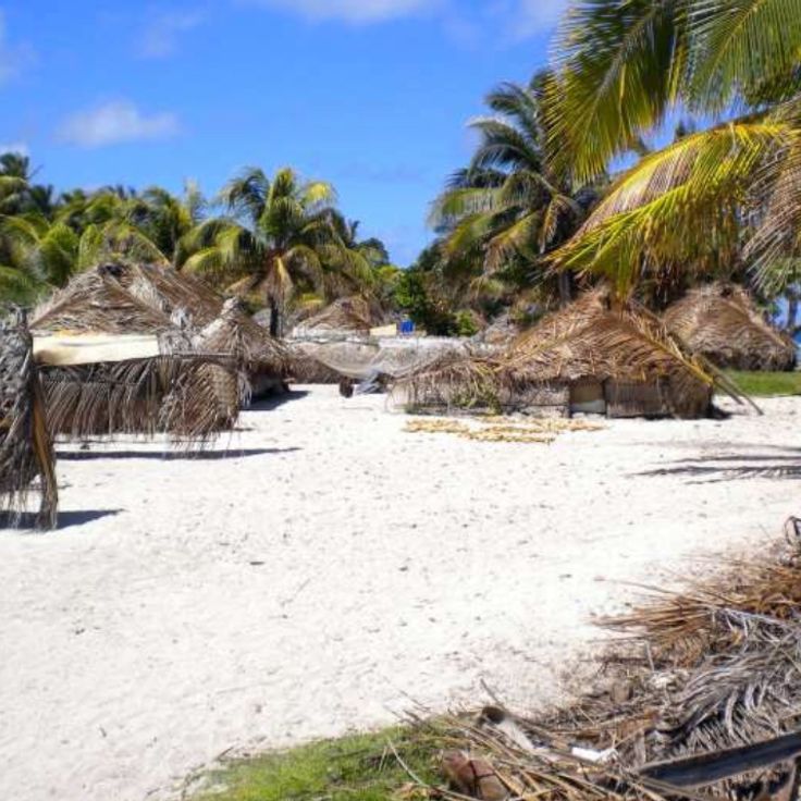
Solomon Islands
Ainuta is a small island in the Solomon Islands archipelago, characterized by its white sand beaches and coral reefs. The island is covered with dense tropical vegetation and inhabited by local communities that maintain traditional ways of life. The surrounding waters offer opportunities for snorkeling and observing marine flora and fauna. Ainuta is located away from main transportation routes and is accessible only by boat.
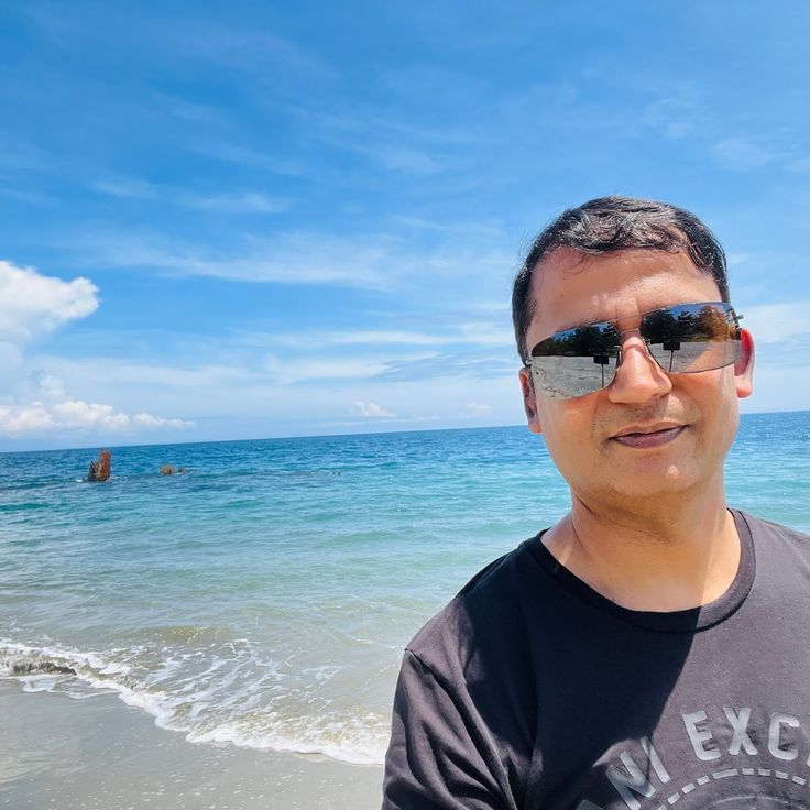
New Georgia, Solomon Islands
The Toa Maru is a Japanese freighter that was sunk by American aircraft in February 1943. The 140-meter-long wreck lies at a depth of 37 meters on a sandy bottom and has become a significant dive site. The bow of the ship remains well preserved, while the stern was heavily damaged by explosions. Divers can explore the cargo holds, which still contain military equipment, ammunition, and trucks. The wreck is covered with coral growth and serves as habitat for numerous fish species.
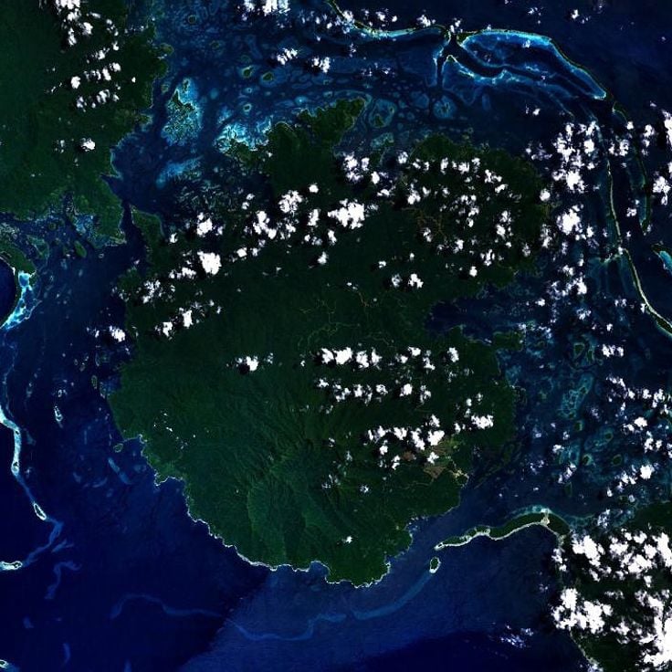
Western Province, Solomon Islands
Vangunu Island is located in the Western Province of the Solomon Islands near the submarine volcano Kavachi. Coral reefs line its coastline while tropical rainforests cover the interior terrain. The island is part of the New Georgia group and provides habitat for various marine species and bird populations. Several small settlements exist on the island, with residents primarily engaged in fishing and agriculture. Trails through the forested areas lead to viewpoints overlooking the surrounding waters.
Western Province, Solomon Islands
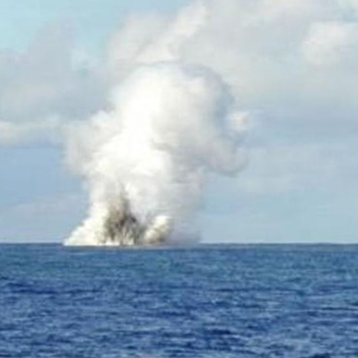
Kavachi is a submarine volcano with its summit located approximately 20 meters below sea level. This active volcanic system generates regular eruptions that release steam, ash, and rock material. During particularly intense episodes, the volcanic cone can breach the water surface and form a temporary island, which subsequently disappears due to erosion and wave action. Kavachi ranks among the most active underwater volcanoes in the Pacific Ocean.
Guadalcanal, Solomon Islands
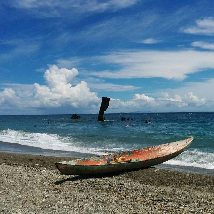
The wreck of the Japanese destroyer Kikuzuki lies at a depth of 10 meters since its sinking in 1942. The vessel was destroyed during an air raid in the Battle of Guadalcanal. Today, divers can explore the remains of this warship, which stands as evidence of the fierce naval battles that took place in the Pacific during World War II.
Guadalcanal, Solomon Islands
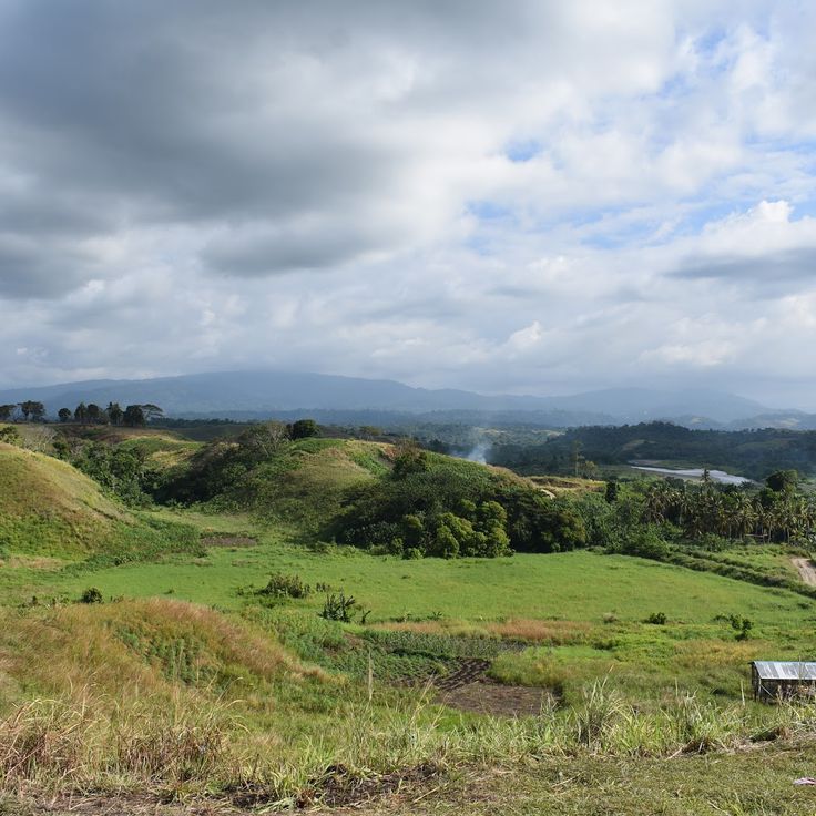
Bloody Ridge was the site of several battles between American and Japanese forces in September 1942 during the Guadalcanal Campaign. The ridge south of Henderson Field airbase was attacked by Japanese units attempting to recapture the strategic air facility. The terrain still shows remains of trenches, defensive positions, and bunkers from the Pacific War period. Information panels explain the course of the military engagements and the importance of this position for the outcome of the campaign.
Solomon Islands
Kolombangara Island rises as an extinct volcano to 1770 meters in the center of the Western Province of the Solomon Islands. Several hiking trails wind through the dense rainforest on the mountain's slopes and allow observation of numerous native bird species, including the Yellowish-streaked Lory and other parrot species found only on these islands. The vegetation consists of tropical primary forest with tree ferns and orchids. Fishermen and farmers inhabit the coastal villages around the island, while the interior remains largely uninhabited.
Western Province, Solomon Islands
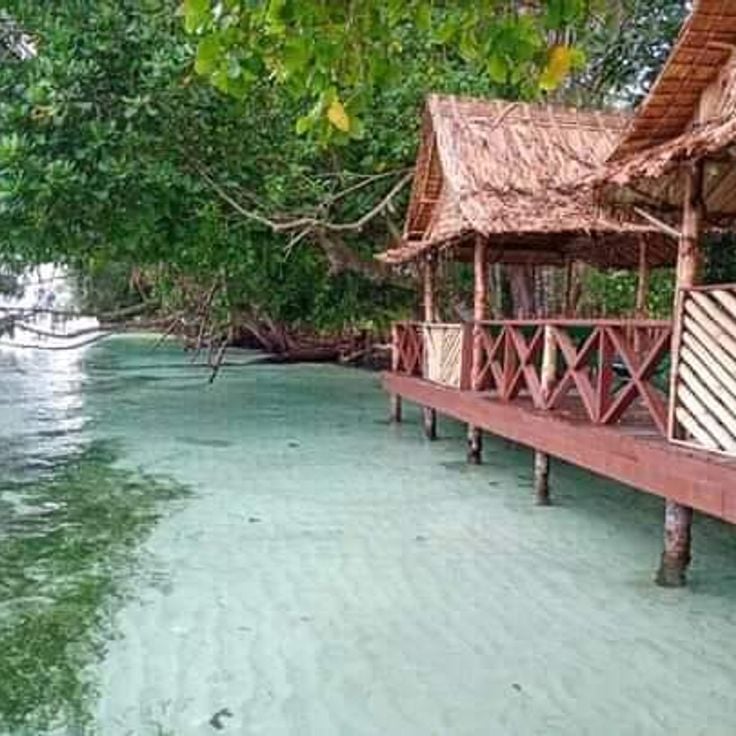
Munda Beach stretches along the coast of Western Province, offering fine white sand beneath coconut palms. Beneath the water surface lie numerous wrecks from World War II, including Japanese fighter planes and military equipment. These underwater relics attract divers interested in maritime history. The area served as an important strategic point in the Pacific during the war. The combination of tropical vegetation and historical remains makes this location a significant destination for history enthusiasts and nature lovers alike.
Western Province, Solomon Islands
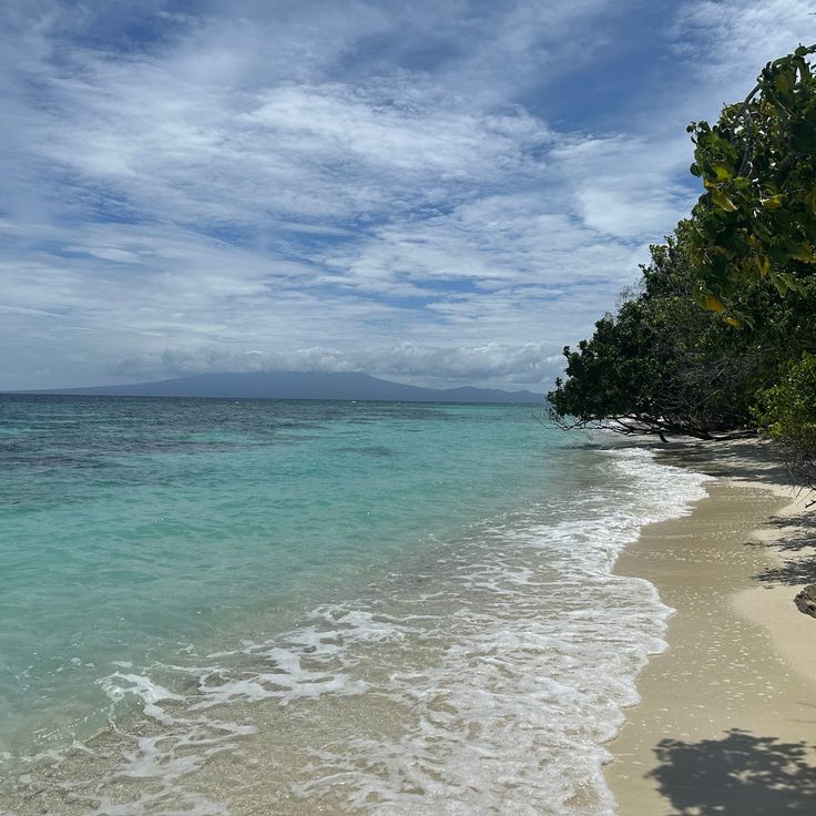
Gizo Beach is located in the Western Province of the Solomon Islands and provides access to several dive sites featuring aircraft wrecks from World War II. The underwater landscape includes coral formations where numerous tropical fish species reside. Divers can explore the historical wrecks that bear witness to the Guadalcanal Campaign period while surrounded by colorful reef fish.
Munda, Solomon Islands
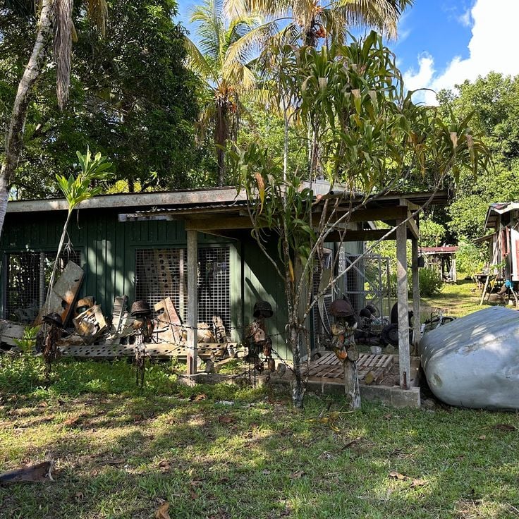
Collection of military artifacts including uniforms, weapons, and equipment used in the South Pacific battles.
Santa Cruz Islands, Solomon Islands
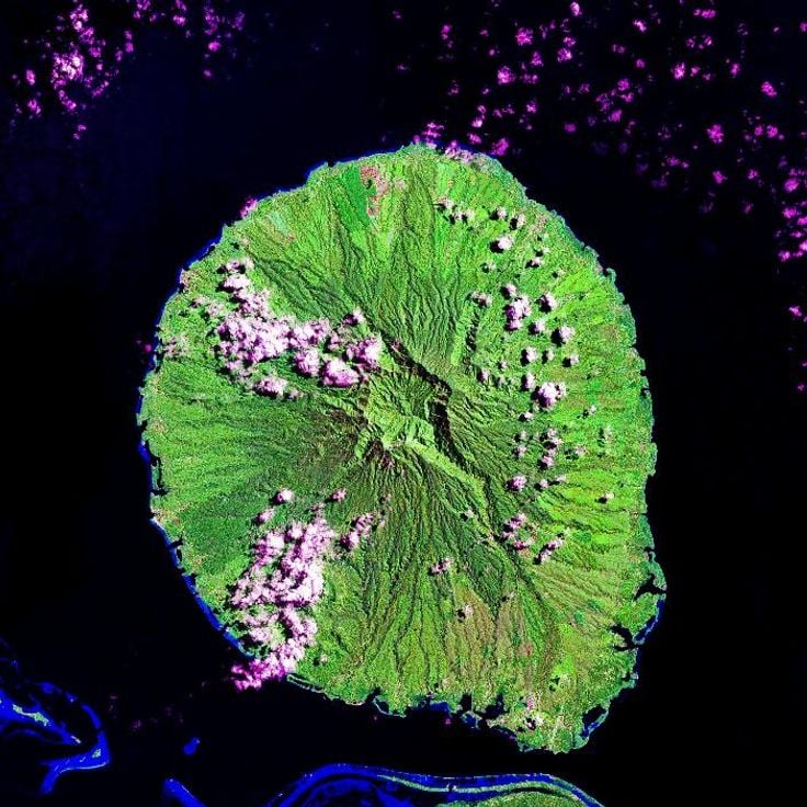
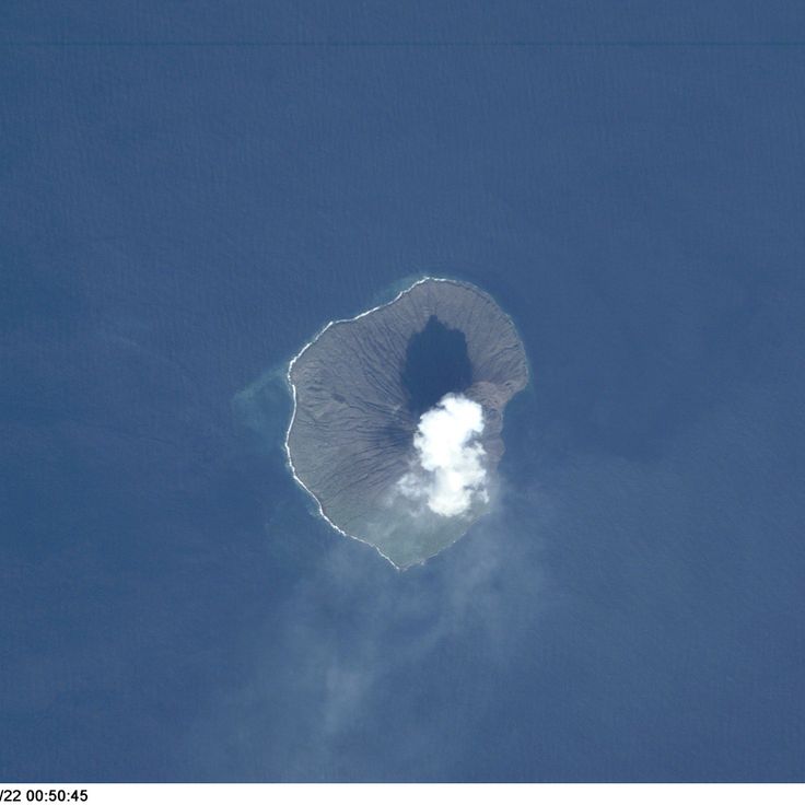
Tinakula rises as an active stratovolcano from the Pacific Ocean, forming its own island in Temotu Province. This conical volcano has displayed continuous volcanic activity since the 16th century, with regular eruptions and steam emissions. The island measures approximately 3.5 kilometers in diameter and reaches an elevation of 851 meters above sea level. Due to ongoing volcanic hazards, Tinakula remains uninhabited, although historical records mention previous settlements.