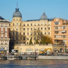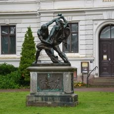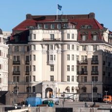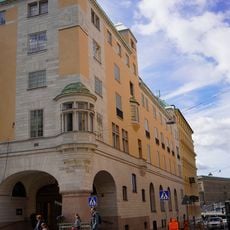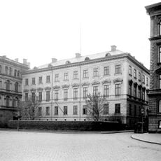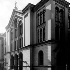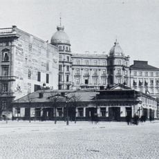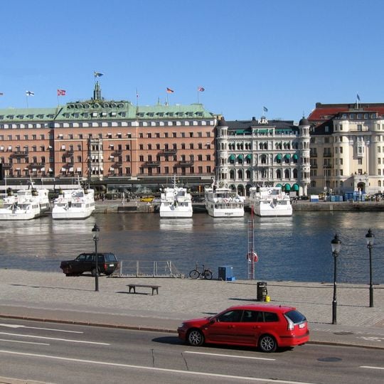
Blasieholmen, Peninsula in Norrmalm district, Stockholm, Sweden
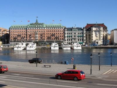
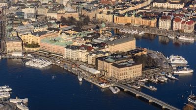
Blasieholmen is a peninsula in central Stockholm, projecting eastward into the waterways between Norrmalm and Skeppsholmen island. The Skeppsholmsbron bridge links it to Skeppsholmen and is the only direct land connection between the two areas.
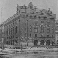
Blasieholmen was originally a small island called Käpplingen, linked to Norrmalm when the waterway Näckström was filled in the 17th century. In the 1550s the city shipyard moved here, giving the island the name Skeppsholmen; after the yard moved to today's Skeppsholmen in the 1640s, the name Blasieholmen gradually took over by the 1670s. The islet of Myntholmen, later Kyrkholmen, was joined to Blasieholmen when the canal between them was filled for the Nationalmuseum, completed in 1866.
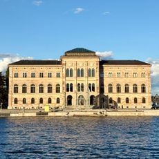
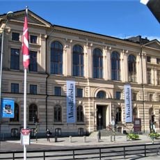
The National Museum of Sweden stands on Blasieholmen and displays paintings, sculptures, and decorative arts from Sweden and across Europe. The building faces the water and its facade is visible from across the bay, making it a reference point for anyone walking along the shore.
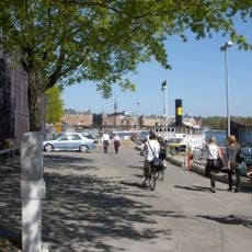
Blasieholmen has no formal boundary, but the usual limit toward the city runs along Grevgränd, Arsenalsgatan and Nybrokajen. The quay at Södra Blasieholmshamnen, also called Strömkajen, continues south to Skeppsholmsbron, the bridge over to Skeppsholmen and on to Kastellholmen. The peninsula is ringed by water on three sides, so the shoreline path can be followed from Nybroviken round to the bridge.
The name Blasieholmen is not fully explained: two candidates appear in the records, the city secretary Blasius Olsson Rask, active in Stockholm 1544–1567, and the Scottish-descended merchant Blasius Dundej, who owned many Stockholm properties in the 1590s. The older name Skepparholmen gave way to Blasieholmen in the 1670s.
The community of curious travelers
AroundUs brings together thousands of curated places, local tips, and hidden gems, enriched daily by 93,781 contributors worldwide.