Doi Saket, Rural district in Chiang Mai Province, Thailand
Doi Saket is a rural district in Chiang Mai Province that spreads across varied terrain with rice fields filling the valleys and fruit orchards covering the hillsides up to about 1,540 feet (469 m) in elevation. The district comprises fourteen administrative subdivisions that include several temples and local markets serving the communities.
The district was established in 1902 and grew from a small farming settlement into a modern administrative area with multiple subdivisions. This transformation reflects the region's broader development and its increasing connection to urban centers.
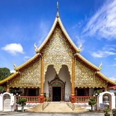
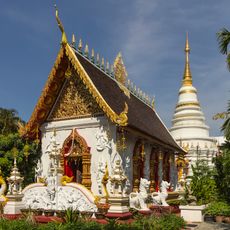
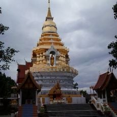
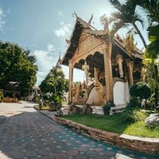
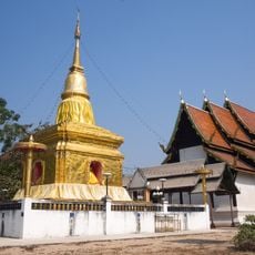
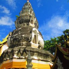
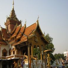
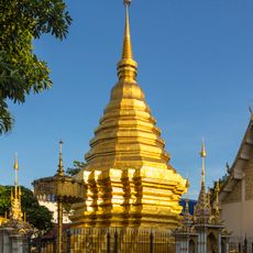
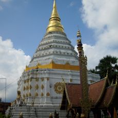
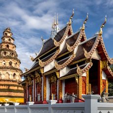
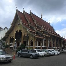
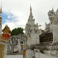
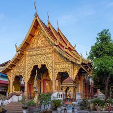
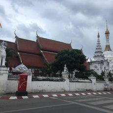
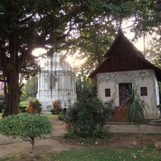
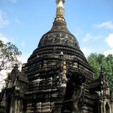
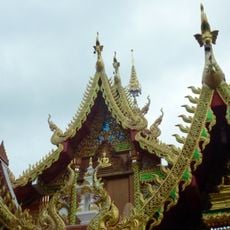
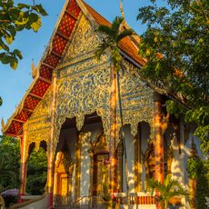
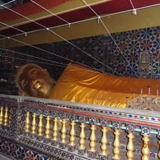
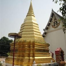
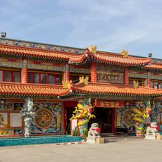
The district contains several Buddhist temples, particularly Wat Doi Saket with traditional religious artworks where locals gather for important ceremonies throughout the year. These shrines remain central to daily community life and shape how the landscape looks and feels.
The district maintains a network of local markets such as Talat Khwan and Talat Yai where fresh produce and handmade goods are available and daily life is on display. The cooler season offers the most pleasant conditions for getting around and observing agricultural activities across the landscape.
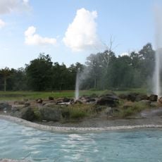
The Mae Kuang Dam sits within the district and supplies water to the region while offering views toward the Khun Tan mountain range. This reservoir is an often-overlooked feature that connects agricultural areas with modern infrastructure in an unexpected way.
The community of curious travelers
AroundUs brings together thousands of curated places, local tips, and hidden gems, enriched daily by 60,000 contributors worldwide.