
Fak Tha, district in Uttaradit province, Thailand
Location: Uttaradit
Inception: 1937
Elevation above the sea: 264 m
Shares border with: Tha Pla, Nam Pat
GPS coordinates: 17.99222,100.87861
Latest update: April 16, 2025 07:15

Wat Phra That Cho Hae
72.2 km
Phra That Si Song Rak
85.1 km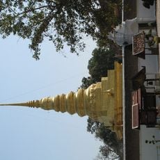
Wat Phra That Chae Haeng
85.8 km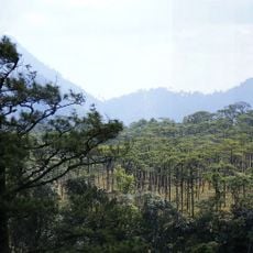
Phu Soi Dao National Park
31.6 km
Nam Phi iron mine
79.3 km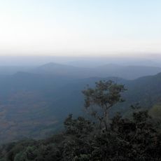
Phu Ruea National Park
72.6 km
Wat Phra Fang Sawang Khaburimuninat
79.5 km
Statues of King Taksin and Phraya Phichai Dap Hak in Wat Khung Taphao
86.8 km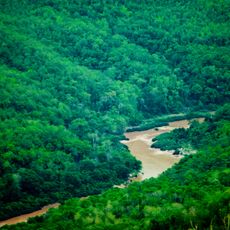
Si Nan National Park
42 km
Phae Mueang Phi
73.9 km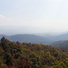
Lam Nam Nan National Park
35.8 km
Phu Soi Dao
32.2 km
Wat Phra That Puchae
66.3 km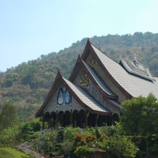
Wat Pa Huai Lat
82.5 km
Wat Phra That Doi Leng
70.8 km
Wat Bun Yuen
65.8 km
Wat Si Khun Mueang
82.7 km
Wat Luang
80.3 km
Thunghong Subdistrict municipality Stadium
77.6 km
Ban Khung Taphao Park
86.2 km
Wat Chom Sawan
79 km
Wat Hua Khuang
80 km
Phrae Provincial Administrative Organization Stadium
78.6 km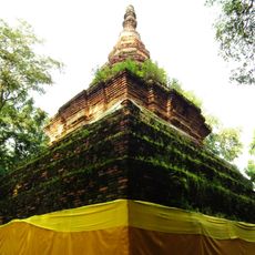
Wat Phra That Chom Chaeng
73.2 km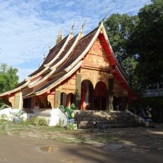
Wat Tha Khaek
85.8 km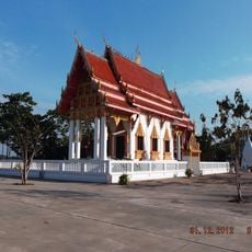
Wat Chiang Khan
85.6 km
Ban Nong Bua monastic residence
80 km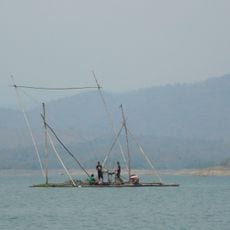
Sirikit Reservoir
45 kmReviews
Visited this place? Tap the stars to rate it and share your experience / photos with the community! Try now! You can cancel it anytime.
Discover hidden gems everywhere you go!
From secret cafés to breathtaking viewpoints, skip the crowded tourist spots and find places that match your style. Our app makes it easy with voice search, smart filtering, route optimization, and insider tips from travelers worldwide. Download now for the complete mobile experience.

A unique approach to discovering new places❞
— Le Figaro
All the places worth exploring❞
— France Info
A tailor-made excursion in just a few clicks❞
— 20 Minutes