
Kham Thale So, district in Nakhon Ratchasima province, Thailand
Location: Nakhon Ratchasima
Elevation above the sea: 199 m
GPS coordinates: 14.96083,101.94750
Latest update: April 22, 2025 18:20
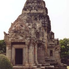
Phimai historical park
65.5 km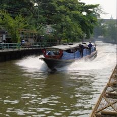
Khlong Saen Saep
54.4 km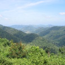
Dong Phayayen-Khao Yai Forest Complex
71.1 km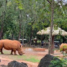
Nakhon Ratchasima Zoo
18.4 km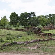
Muang Sema
16.6 km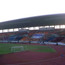
80th Birthday Stadium
11.6 km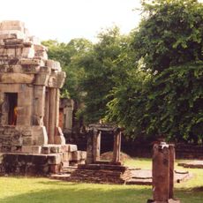
Prasat Hin Phanom Wan
27.4 km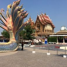
Wat Ban Rai
44 km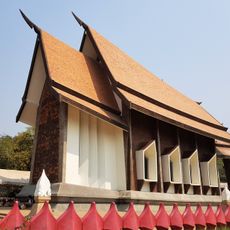
Wat Sala Loi
18.3 km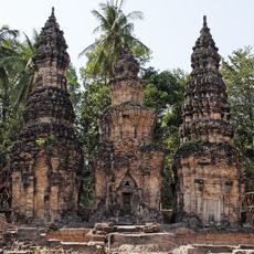
Prasat Ban Prasat
35.9 km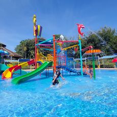
Korat Zoo Lagoon
19.5 km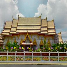
Wat Phayap
16.4 km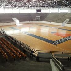
Korat Chatchai Hall
11.4 km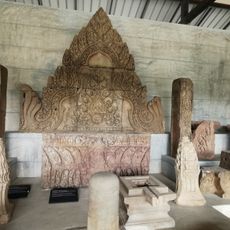
Phimai national museum
65.7 km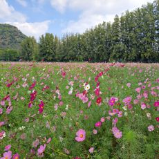
Jim Thompson Farm
36.5 km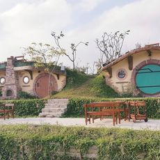
Baan hobbit
37.7 km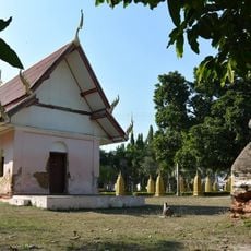
Wat Non Kum
25.1 km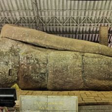
Wat Thammachak Semaram
17.2 km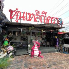
Dragon Cafe sculptures
21.9 km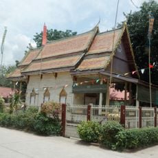
Wat Khiri Wan
63.9 km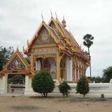
Wat Hua Saphan
17 km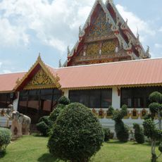
Wat Pang Kae
67.1 km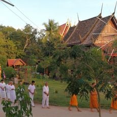
Wat Charoen Phrot
43.3 km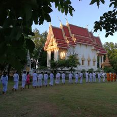
Wat Huai Hung Kluea
48.5 km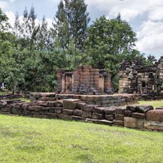
Prasat Mueang Kao
10.9 km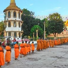
Wat Trai Siri Monkhon
60.8 km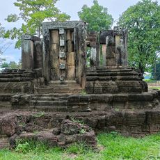
Prang Pha Kho
38 km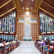
Our Lady of Lourdes Cathedral, Nakhon Ratchasima
14.1 kmReviews
Visited this place? Tap the stars to rate it and share your experience / photos with the community! Try now! You can cancel it anytime.
Discover hidden gems everywhere you go!
From secret cafés to breathtaking viewpoints, skip the crowded tourist spots and find places that match your style. Our app makes it easy with voice search, smart filtering, route optimization, and insider tips from travelers worldwide. Download now for the complete mobile experience.

A unique approach to discovering new places❞
— Le Figaro
All the places worth exploring❞
— France Info
A tailor-made excursion in just a few clicks❞
— 20 Minutes