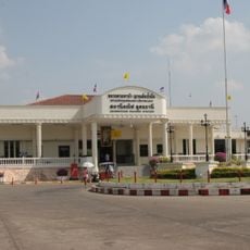
Kumphawapi, Administrative district in Udon Thani Province, Thailand
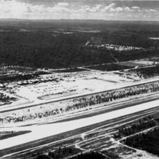
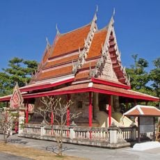
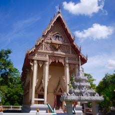
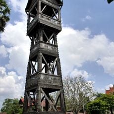
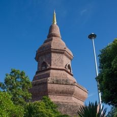
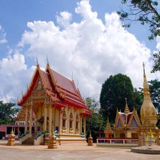
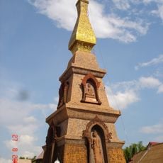
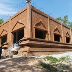
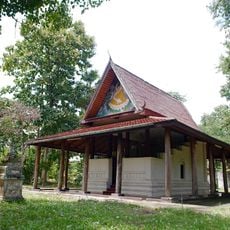
Kumphawapi is an administrative district in Udon Thani Province, northeastern Thailand, covering about 672 square kilometers with wetlands, rural communities, and farmland. The area sits at 174 meters above sea level and divides into 13 sub-districts containing 176 villages.
The area began as one of four original subdivisions of Udon Thani and became an official district during Thailand's administrative reforms in 1908. This reorganization was part of a wider effort to structure provincial governance in northeastern Thailand.
The name draws from Sanskrit, combining "Kumpha" meaning water pitcher with "Wapi" meaning pond, showing how water has shaped local identity. This naming reflects the region's dependence on water for farming and daily life.
The district connects to other areas via the northeastern railway line, serving postal codes 41110 and 41370 for mail and navigation. When moving around, use the 13 sub-districts as reference points to orient yourself in this rural area.
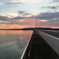
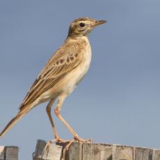
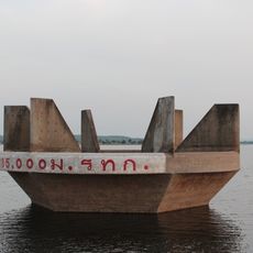
Nong Han Kumphawapi Lake is one of the largest natural wetlands in northeastern Thailand and draws visitors interested in exploring local ecosystems and water-shaped landscapes. The lake plays a central role in fishing and daily life for communities around it.
The community of curious travelers
AroundUs brings together thousands of curated places, local tips, and hidden gems, enriched daily by 60,000 contributors worldwide.