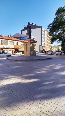
Ortaköy, Administrative district in Aksaray Province, Turkey
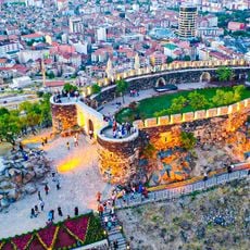
Ortaköy is an administrative district in Aksaray Province situated in Central Anatolia, featuring agricultural fields and residential settlements across its territory. The landscape lies at approximately 1140 meters elevation and reflects a mix of farming communities and developed areas.
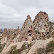
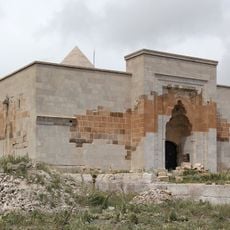
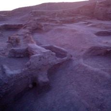
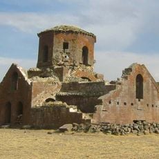
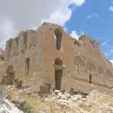
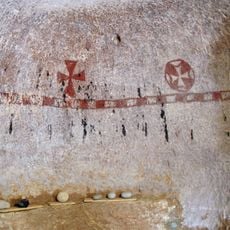
Archaeological excavations near the district have uncovered early settlements from the Bronze Age period. Later findings reveal traces of Phrygian civilization dating to the 7th century BCE, indicating sustained human habitation throughout antiquity.
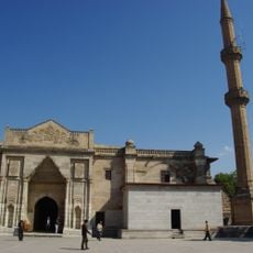
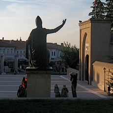
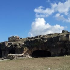
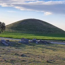
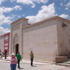
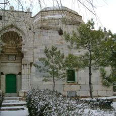
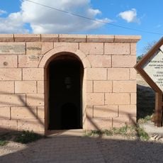
The tomb of Turkish mystic Yunus Emre sits on Ziyaret Hill and attracts visitors drawn to the region's spiritual heritage. The site represents a long tradition of religious life that remains visible in the way locals relate to this sacred location.
The district sits along main transportation routes connecting Istanbul and Ankara, with travel times of several hours to each city. Regular bus services and road connections make it accessible for those traveling between these major centers.
The district contains approximately 30 separate villages, each preserving traditional farming methods that reflect local knowledge passed down through generations. This scattered settlement pattern creates a distinctly rural character that sets the region apart from more developed urban areas.
The community of curious travelers
AroundUs brings together thousands of curated places, local tips, and hidden gems, enriched daily by 60,000 contributors worldwide.