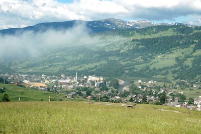
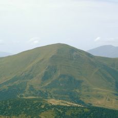
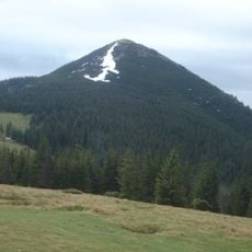
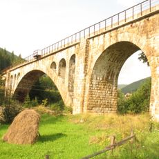
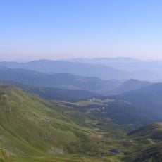
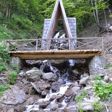
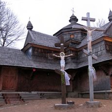
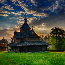
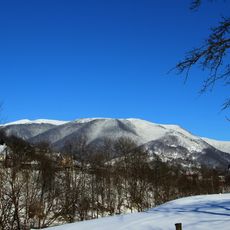
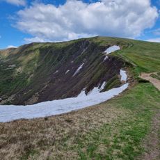
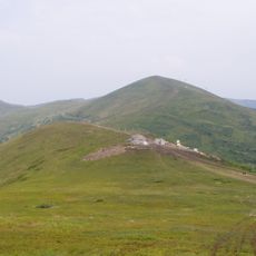
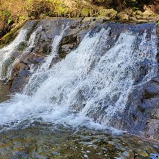
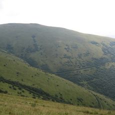
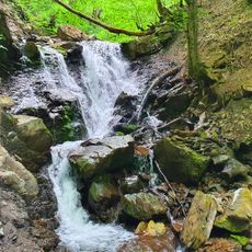
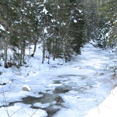
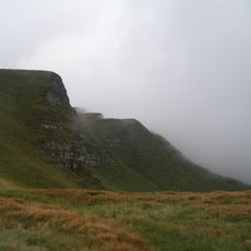
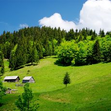
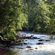
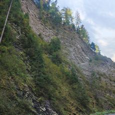
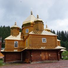
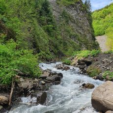
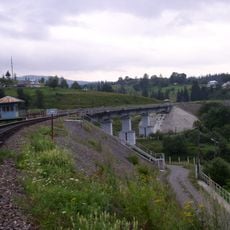
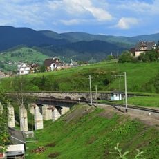
Yasinya, urban type settlement and hromada in Rakhiv raion, Zakarpattya oblast, Ukraine
Location: Rakhiv Raion
Location: Yasinya hromada
Elevation above the sea: 650 m
GPS coordinates: 48.27278,24.37472
Latest update: March 2, 2025 22:59
Petros
11.7 km
Mount Khomiak
13.9 km
Vorokhta Viaduct
14.1 km
Blyznytsya Velyka
12 km
Dragobrat
11.6 km
Trufanets Waterfall
8.2 km
Church of the Ascension, Yasinia
3 km
Church of the Nativity of the Virgin Mary in Vorokhta
14 km
Svydovets protected massif
13.2 km
Gora Kotël
12.7 km
Stig
11.4 km
Chorna Klyva
12.3 km
Bogdan Waterfall
11.9 km
Sheshul
13.7 km
Malotrostianetskyi Waterfall
13.7 km
Lazeshchina (suba sa Okraniya)
4.4 km
Petrosul
10.8 km
Blyznytsi rocks
11.9 km
Andromeda Natural Monument
4.3 km
Menchul Kvasivskyi
13.3 km
White & Black Tiszas Reserve
4.1 km
Smerekovi Karpaty Reserve
7.3 km
Svydovetski Skeli Natural Monument
7.7 km
Saint Basil church, Yablunytsia
9.8 km
Svydovets
7.2 km
New Vorokhta Railway Bridge (East)
14.1 km
New Vorokhta Railway Bridge (West)
12.5 km
Vorokhta Railway Viaduct (West)
12.5 kmReviews
Visited this place? Tap the stars to rate it and share your experience / photos with the community! Try now! You can cancel it anytime.
Discover hidden gems everywhere you go!
From secret cafés to breathtaking viewpoints, skip the crowded tourist spots and find places that match your style. Our app makes it easy with voice search, smart filtering, route optimization, and insider tips from travelers worldwide. Download now for the complete mobile experience.
A unique approach to discovering new places❞
— Le Figaro
All the places worth exploring❞
— France Info
A tailor-made excursion in just a few clicks❞
— 20 Minutes