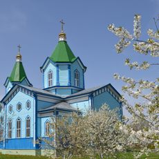
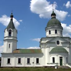
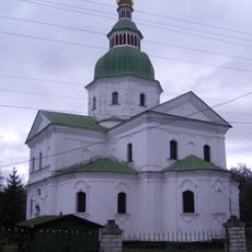
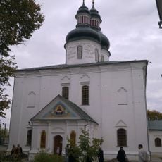
Kozelets Raion, former raion in Chernihiv Oblast, Ukraine (1923-2020)
Location: Chernihiv Oblast
Inception: March 7, 1923
Capital city: Kozelets
Shares border with: Vyshhorod Raion
Website: http://kozadm.cg.gov.ua
GPS coordinates: 50.90000,31.11667
Latest update: March 3, 2025 23:20
Desna, Kozelets Raion
24.3 km
Kozelets
1.8 km
Cathedral of the Nativity of the Theotokos
1.4 km
St. George's Church
22 km
National Nature Park Zalissya
32 km
Mizhrichynskyi Regional Landscape Park
29.7 km
St. Michael's Church
17.5 km
Danivka Monastery
5.1 km
Church of Three Holy Hierarchs
10.6 km
Pokorshchyna
490 m
Regimental Office House
1.2 km
Dniprovsko-Desnianskyi Reserve
36.8 km
Beremytske Nature Park
17.2 km
Church of the Ascension
1.4 km
Oster museum of local history
17.2 km
Kalityanska cottage
24.2 km
Dub Kosachivskyi
38.2 km
St. Nicholas Church
1.3 km
Danivka Cathedral
5.1 km
Darahan House
536 m
Chernihiv Region Weaving History Museum
1.5 km
Pirnivskyi Reserve
35.4 km
Chernynskyi Reserve
38.5 km
Holy Trinity Orthodox church in Nosivka
32.8 km
Kobyzhchanska Dacha
18.3 km
Didove Preserve
42.5 km
Марківецький дуб
18.8 km
Kozache Preserve
27.2 kmVisited this place? Tap the stars to rate it and share your experience / photos with the community! Try now! You can cancel it anytime.
Discover hidden gems everywhere you go!
From secret cafés to breathtaking viewpoints, skip the crowded tourist spots and find places that match your style. Our app makes it easy with voice search, smart filtering, route optimization, and insider tips from travelers worldwide. Download now for the complete mobile experience.
A unique approach to discovering new places❞
— Le Figaro
All the places worth exploring❞
— France Info
A tailor-made excursion in just a few clicks❞
— 20 Minutes