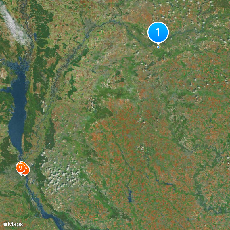
Chernihiv Oblast, Administrative region in northern Ukraine.
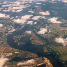
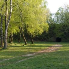
Chernihiv Oblast is an administrative division in northern Ukraine that borders Belarus and the Ukrainian regions of Kyiv, Sumy, and Poltava. The territory includes wooded landscapes, river floodplains along the Dnipro and its tributaries, and agricultural areas with small villages and towns.
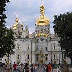
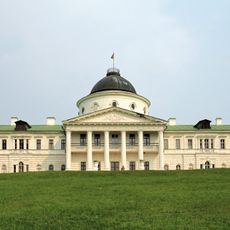
The region was founded in October 1932 as a Soviet administrative unit and includes the old city of Chernihiv, which already played an important role during Kievan Rus. After the collapse of the Soviet Union the oblast became part of independent Ukraine and underwent several territorial reforms.
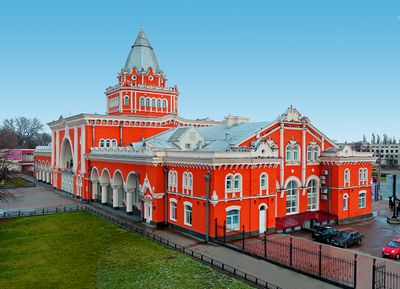
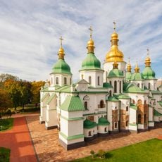
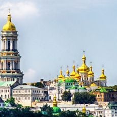
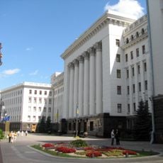
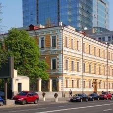
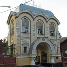
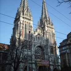
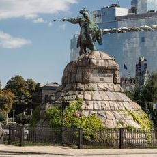
The name comes from the regional capital Chernihiv, whose Slavic roots point to the word for black. Today Orthodox domes and old monasteries shape the cityscape, while in the countryside traditional wooden houses and field paths define daily life.
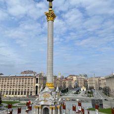
For travelers it is worth visiting the capital and the historical sites in the central part, which are accessible by car or public transport. The rural areas are widespread and less developed, so having your own vehicle is an advantage.
The population has declined sharply since the mid-20th century, making many settlements appear almost deserted today. This development makes the region the least populated administrative unit in the country.
Location: Ukraine
Inception: October 15, 1932
Capital city: Chernihiv
Elevation above the sea: 223 m
Shares border with: Kyiv Oblast, Poltava Oblast, Sumy Oblast, Bryansk Oblast, Gomel Region
Website: https://cg.gov.ua
GPS coordinates: 51.34000,32.06000
Latest update: December 4, 2025 23:41
Saint Sophia Cathedral
146.7 km
Mariinskyi Palace
145.9 km
Kyiv Pechersk Lavra
145.9 km
Orthodox Church of Ukraine
146.1 km
Olimpiyskiy National Sports Complex
147.8 km
Mother Ukraine Monument
146.3 km
Dinamo Restaurant
145.8 km
Taras Shevchenko National University of Kyiv
147.7 km
Golden Gate
147.1 km
House with Chimaeras
146.6 km
Office of the President of Ukraine
146.6 km
Saint Andrew's Church
146.1 km
Baikove Cemetery
149.9 km
St Volodymyr's Cathedral
147.6 km
National University of Kyiv-Mohyla Academy
145.6 km
Podilskyi Bridge
143.7 km
Paton Bridge
146 km
St. Nicholas Roman Catholic Church, Kyiv
148.5 km
101 Tower
148.7 km
Independence Monument
146.4 km
Dormition Cathedral
145.9 km
Monument to Bohdan Khmelnytsky in Kyiv
146.5 km
National Museum of the History of Ukraine in World War II
146.2 km
Kachanivka
69.8 km
Three Sisters
88 km
Bridge over Saint Volodymyr Descent
145.8 km
Arch of Freedom of the Ukrainian People
145.8 km
Kyiv Funicular
145.8 kmVisited this place? Tap the stars to rate it and share your experience / photos with the community! Try now! You can cancel it anytime.
Bakhmach Raion
Bobrovytsia Raion
Borzna Raion
Varva Raion
Horodnia Raion
Ichnia Raion
Kozelets Raion
Korop Raion
Koriukivka Raion
Kulykivka Raion
Mena Raion
Nizhyn Raion
Novhorod-Siverskyi Raion
Nosivka Raion
Pryluky Raion
Ripky Raion
Semenivka Raion
Snovsk Raion
Sosnytsia Raion
Sribne Raion
Talalaivka Raion
Chernihiv Raion
Discover hidden gems everywhere you go!
From secret cafés to breathtaking viewpoints, skip the crowded tourist spots and find places that match your style. Our app makes it easy with voice search, smart filtering, route optimization, and insider tips from travelers worldwide. Download now for the complete mobile experience.
A unique approach to discovering new places❞
— Le Figaro
All the places worth exploring❞
— France Info
A tailor-made excursion in just a few clicks❞
— 20 Minutes