
Верхнє Карлівське водосховище, Stausee in der Ukraine
Location: Donetsk Oblast
Location: Yasynuvata Raion
Inception: 1933
Part of: Dnipro-Donbas Canal
GPS coordinates: 48.13750,37.49778
Latest update: March 13, 2025 10:40
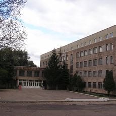
Donetsk Museum
26 km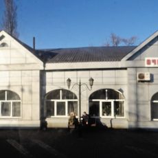
Ocheretyne
14.5 km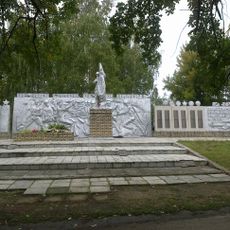
Staromykhailivka
16.7 km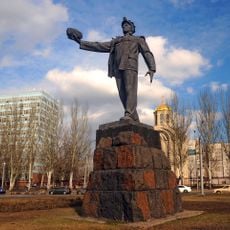
Monument to miner (Donetsk)
23.9 km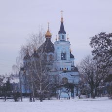
Novoekonomichne
24.5 km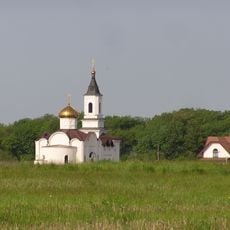
Iverskyi Monastery
19.2 km
Zhelanne
8.8 km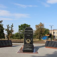
Hrodivka
16.1 km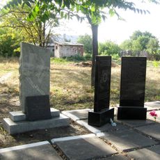
Tsukuryne
15.2 km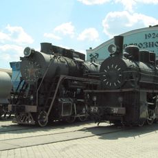
Railway museum in Donetsk
21.1 km
Karlivske Reservoir
1.8 km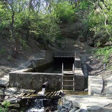
Source of the Kalmius River Gidrological Natural Monument
24.8 km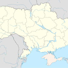
Illinka
20.2 km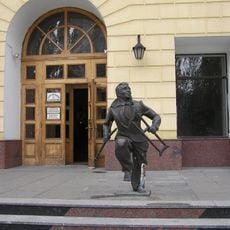
Monument of recovered patient
25.8 km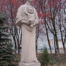
Monument to mother in Donetsk
24.7 km
Monument to soldiers of Soviet war in Afghanistan (Petrovskyi square in Donetsk)
22.5 km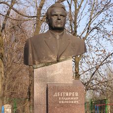
Monument to Degtyarev in Donetsk
25.5 km
Nikolay Kutsenko grave
21.5 km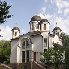
Church of Intercession of the Theotokos in Donetsk
24.5 km
Dzherela v balci Skotova Gidrological Natural Monument
20 km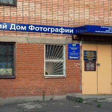
Museum of Photojournalism and Photographic Equipment
26 km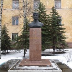
Monument to Zoya Kosmodemyanskaya in Donetsk
25.5 km
Museum of Sergei Prokofiev in Sontsivka village
24.9 km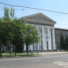
Хозяйственный суд Донецкой области
25.2 km
Taras Shevchenko monument
21.9 km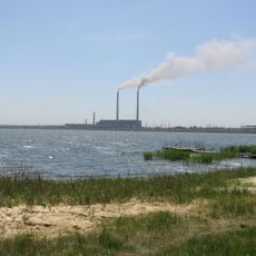
Kurakhove Reservoir
22.9 km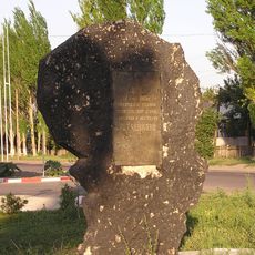
Monument to the first political strike in Rutchenkovo
25.9 km
Красногорівський
17.2 kmReviews
Visited this place? Tap the stars to rate it and share your experience / photos with the community! Try now! You can cancel it anytime.
Discover hidden gems everywhere you go!
From secret cafés to breathtaking viewpoints, skip the crowded tourist spots and find places that match your style. Our app makes it easy with voice search, smart filtering, route optimization, and insider tips from travelers worldwide. Download now for the complete mobile experience.

A unique approach to discovering new places❞
— Le Figaro
All the places worth exploring❞
— France Info
A tailor-made excursion in just a few clicks❞
— 20 Minutes