Donetsk Oblast, Administrative region in southeastern Ukraine.
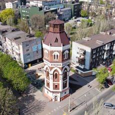
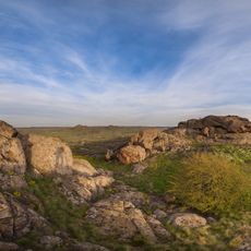
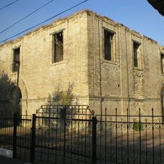
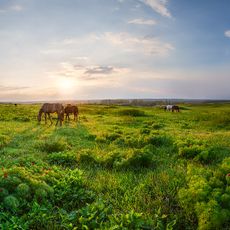
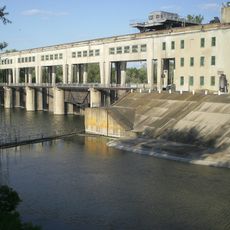
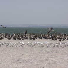
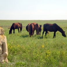
Donetsk Oblast is an administrative unit in the southeastern part of Ukraine that includes industrial zones, mining shafts, metallurgical plants, and agricultural land reaching the Sea of Azov in the south. The territory shows a patchwork of urban centers, suburbs, villages, and open countryside, with some regions currently not accessible.
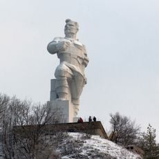
The administrative unit was created on July 2, 1932, as Stalino Oblast and received its current name in 1961 following Soviet de-Stalinization. Industrialization programs in the early 20th century drew workers from various parts of the Soviet Union, permanently altering the area's demographics and economic structure.
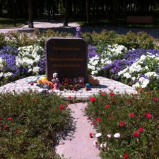
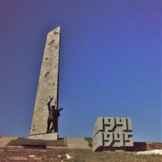
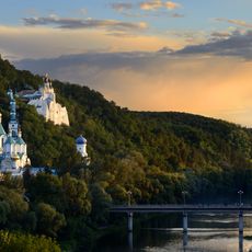
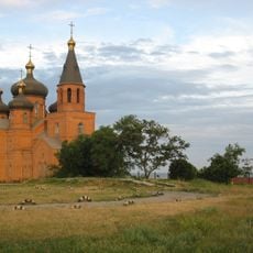
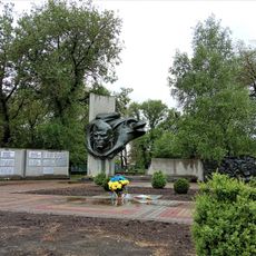
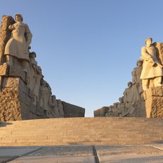
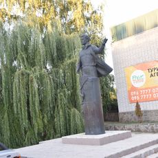
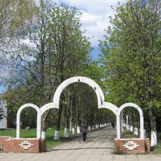
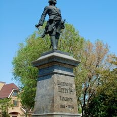
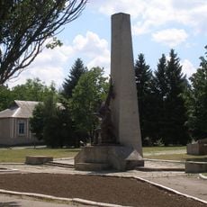
In areas under Ukrainian control, you hear Russian spoken alongside Ukrainian in markets and on buses, while older locals recall the era when miners and factory workers shaped the social rhythms of the area. Small Orthodox churches stand next to Soviet monuments, and families preserve recipes and customs brought by the various waves of immigration during the 20th century.
The administrative seat moved from Donetsk to Kramatorsk in 2014, with the territory now divided by a front line separating different controlled areas. Travelers should check current access restrictions before visiting, as conditions across the region change frequently and many zones remain closed to regular visitors.
The administrative territory contains 52 cities, 131 smaller towns, and over 1,100 rural settlements, making it the most populated administrative unit in Ukraine. Despite the current division, hundreds of thousands continue to live in the Ukrainian-controlled areas, with the population distribution having shifted considerably since 2014.
The community of curious travelers
AroundUs brings together thousands of curated places, local tips, and hidden gems, enriched daily by 60,000 contributors worldwide.