Erith, Thames riverside district in southeast London, United Kingdom
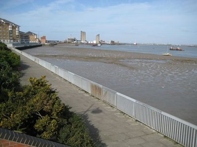
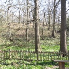
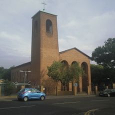
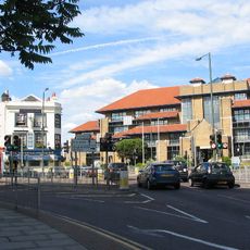
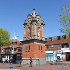
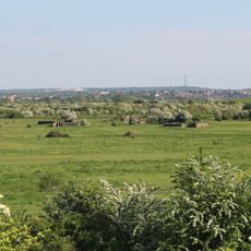
Erith is a district in southeast London stretching along the south bank of the River Thames with a mix of residential neighborhoods, shops, and open spaces. The area sits roughly 13 miles east of central London and contains schools, leisure facilities, and transport links that serve its local population.
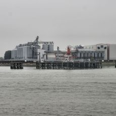
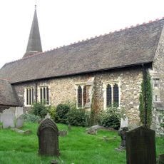
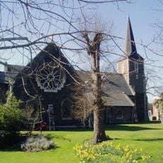
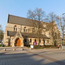
The area received its first charter around 695 and later became known for shipbuilding and naval operations tied to the royal fleet. This maritime heritage shaped the settlement's growth for centuries.
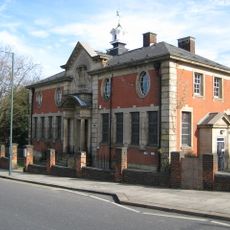
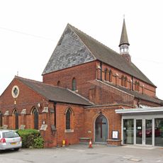
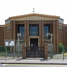
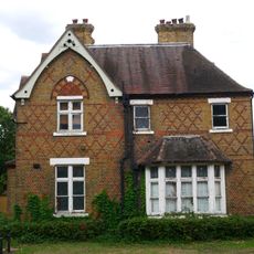
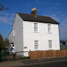
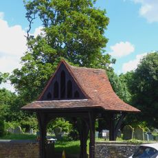
The area features industrial-era buildings that shape its character and reflect the working-class communities that defined this district for generations.
The area is well connected by train with regular services to other parts of London, making visits and daily travel straightforward. Shopping centers, parks, and leisure facilities are spread throughout the district and easily accessible to visitors.
Several street names in the area reference Alexander Selkirk, a sailor who returned to the area after his rescue from isolation on a remote island inspired a famous adventure tale. These local names preserve memory of his remarkable story.
Location: London Borough of Bexley
Shares border with: Northumberland Heath
GPS coordinates: 51.47630,0.16810
Latest update: December 14, 2025 20:11
Tilda
3 km
The Diver
2.6 km
Erith Playhouse
1.1 km
Abbey Wood SSSI
2.9 km
Our Lady of the Angels Church, Erith
395 m
One Bell
2.6 km
Bexley Civic Offices
2.5 km
Church of St Paulinus, Crayford
2.4 km
Parish Church of St John the Baptist
1.2 km
Parish Church of All Saints
1.6 km
Christ Church Parish Church
2.8 km
Christ Church
702 m
Erith Old Library
878 m
St Paul's
675 m
Erith (Christ Church) War Memorial
704 m
28 And 30, Erith High Street
1.1 km
St Peter's
2.5 km
Crayford War Memorial
2 km
Cineworld Cinema Bexleyheath
2.7 km
Christ Church Vicarage
2.8 km
Orchard House
2.5 km
The Long Shed (Part Of David Evans Limited Factory At Number 71)
2.7 km
Clock Tower At West Angle Of Market Place
2.7 km
World War II Heavy Anti-Aircraft (Haa) Battery
2.5 km
Lychgate to West of Parish Church of St Paulinus
2.4 km
Crayford Manor House
2 km
The Oakwood
2.3 km
Milestone, The Broadway, Bexley Heath, opp Zizzi restaurant and by Civic Centre
2.6 kmVisited this place? Tap the stars to rate it and share your experience / photos with the community! Try now! You can cancel it anytime.
Discover hidden gems everywhere you go!
From secret cafés to breathtaking viewpoints, skip the crowded tourist spots and find places that match your style. Our app makes it easy with voice search, smart filtering, route optimization, and insider tips from travelers worldwide. Download now for the complete mobile experience.
A unique approach to discovering new places❞
— Le Figaro
All the places worth exploring❞
— France Info
A tailor-made excursion in just a few clicks❞
— 20 Minutes