Enable Location

We need your location to show you interesting places around you

Discover nearby places

Find interesting locations and hidden gems around you

Precise directions

Get accurate directions and distances to places

Your location is never shared with other users. It's only used when you tap the location button.

Sidcup

Log in to your account

Start exploring — it's free

Trusted by 67,721 travelers worldwide

Continue with Google
Continue with Apple
or

We will send you a code to connect

By continuing, you accept our Terms and Conditions and our Privacy Policy

Check your inbox

We've sent a pincode in your inbox. Please enter the code below.

Sidcup
Discussion Reviews 3 Photos
67.6k Popularity

Sidcup, Residential suburb in South East London, England

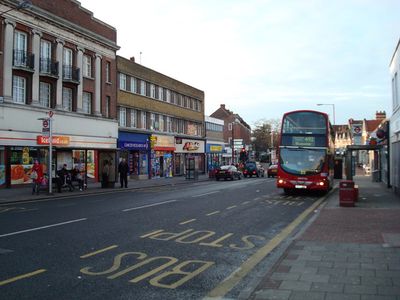
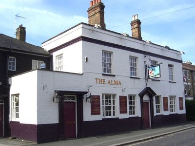
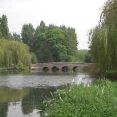
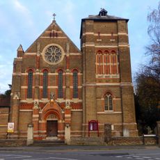
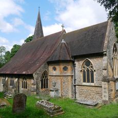
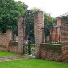
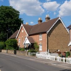
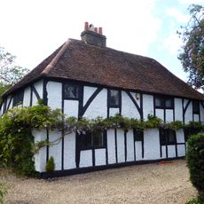
Sidcup is a suburb in southeast London that stretches over gentle hills about 18 kilometers from the city center. The streets show Victorian houses next to postwar apartment blocks and newer single-family homes with front gardens.

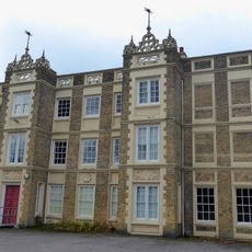
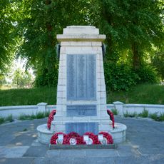
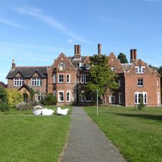
The first mentions of the place date from 1254, when it appeared in records under the name Cetecopp. During the First World War, a military hospital was established here that put the area on the map of modern medicine.

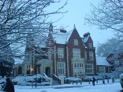
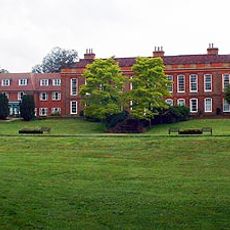
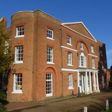
Rose Bruford College has trained theater students for decades and regularly brings young artists into this residential area. The students shape local life through performances and projects that take place in different venues.

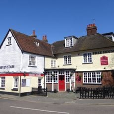
The railway station offers direct connections to several London terminals in about 25 minutes. Multiple bus routes run along the High Street, where shops and services are concentrated.

Queen Mary's Hospital developed new methods for facial reconstruction for wounded soldiers starting in 1917. The surgeons here created techniques that were later applied worldwide in plastic surgery.

The community of curious travelers

AroundUs brings together thousands of curated places, local tips, and hidden gems, enriched daily by 60,000 contributors worldwide.

Start exploring
GPS coordinates
51.42630,0.10240
Latest update
December 13, 2025 18:06
Around this place
Foots Cray Meadows
United Kingdom

Foots Cray Meadows

1.7 km
Frognal House
United Kingdom

Frognal House

963 m
Marlowe House
United Kingdom

Marlowe House

826 m
Lamorbey Park
United Kingdom

Lamorbey Park

1.4 km
Ruxley Gravel Pits
United Kingdom

Ruxley Gravel Pits

2.1 km
Parish Church of St John the Evangelist
United Kingdom

Parish Church of St John the Evangelist

305 m
St Lawrence church, Sidcup
United Kingdom

St Lawrence church, Sidcup

212 m
Parish Church of All Saints
United Kingdom

Parish Church of All Saints

1.4 km
St. Andrew's
United Kingdom

St. Andrew's

1.8 km
Parish Church of St James
United Kingdom

Parish Church of St James

2.1 km
Manor House
United Kingdom

Manor House

231 m
Sidcup War Memorial
United Kingdom

Sidcup War Memorial

311 m
The Seven Stars Public House
United Kingdom

The Seven Stars Public House

1.5 km
Sheffield Monument (In Churchyard Of Parish Church Of St John The Evangelist)
United Kingdom

Sheffield Monument (In Churchyard Of Parish Church Of St John The Evangelist)

340 m
Christ Church
United Kingdom

Christ Church

411 m
Holy Trinity Church
United Kingdom

Holy Trinity Church

1.1 km
Five Arch Bridge
United Kingdom

Five Arch Bridge

2 km
Stable Block To Former Foots Cray Place
United Kingdom

Stable Block To Former Foots Cray Place

1.2 km
Milestone On Pavement Slightly To South Of Axis Of Numbers 494
United Kingdom

Milestone On Pavement Slightly To South Of Axis Of Numbers 494

2 km
Walls Surrounding And To West And South West Of Parish Church Of St James And Gatepiers And Gates To West Of Church
United Kingdom

Walls Surrounding And To West And South West Of Parish Church Of St James And Gatepiers And Gates To West Of Church

2.1 km
10-16, Burnt Oak Lane
United Kingdom

10-16, Burnt Oak Lane

1.2 km
25 And 27, Halfway Street
United Kingdom

25 And 27, Halfway Street

1.1 km
Lodge To Hurstmere School
United Kingdom

Lodge To Hurstmere School

1.5 km
Sidcup Place (Including Ha Ha To East)
United Kingdom

Sidcup Place (Including Ha Ha To East)

488 m
Bowling Pavillion, Foots Cray Place
United Kingdom

Bowling Pavillion, Foots Cray Place

1.2 km
Two Chest Tombs To East Side Of Parish Church Of St James
United Kingdom

Two Chest Tombs To East Side Of Parish Church Of St James

2.2 km
Tomb Of Frances Madocks To South Side Of Parish Church Of St James
United Kingdom

Tomb Of Frances Madocks To South Side Of Parish Church Of St James

2.1 km
Scadbury Manor moated site and fishponds
United Kingdom

Scadbury Manor moated site and fishponds

1.7 km
Show the full map
Reviews
Share your experience

No review yet

Discussions
Start a discussion...

No discussion yet

« Sidcup - Residential suburb in South East London, England » is provided by Around Us (aroundus.com). Images and texts are derived from Wikimedia project under a Creative Commons license. You are allowed to copy, distribute, and modify copies of this page, under the conditions set by the license, as long as this note is clearly visible.

Discover hidden gems everywhere you go!

From secret cafés to breathtaking viewpoints, skip the crowded tourist spots and find places that match your style. Our app makes it easy with voice search, smart filtering, route optimization, and insider tips from travelers worldwide. Download now for the complete mobile experience.

Around Us App Screenshot

A unique approach to discovering new places

Le Figaro

All the places worth exploring

France Info

A tailor-made excursion in just a few clicks

20 Minutes

Around Us
Travel Guide & Maps
Download

Send to your phone

QR Code
1

Open the camera app on your mobile.

2

Point at the QR code with your camera. A notification will appear.

3

Tap the notification to open the link.