Enable Location

We need your location to show you interesting places around you

Discover nearby places

Find interesting locations and hidden gems around you

Precise directions

Get accurate directions and distances to places

Your location is never shared with other users. It's only used when you tap the location button.

Leominster

Log in to your account

Start exploring — it's free

Trusted by 62,165 travelers worldwide

Continue with Google
Continue with Apple
or

We will send you a code to connect

By continuing, you accept our Terms and Conditions and our Privacy Policy

Check your inbox

We've sent a pincode in your inbox. Please enter the code below.

Leominster, Industrial city in Worcester County, Massachusetts.

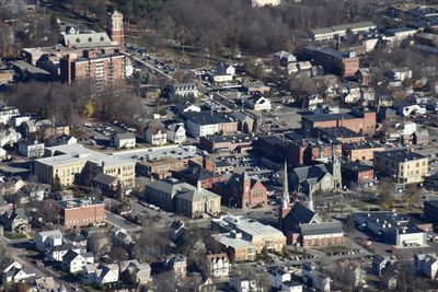
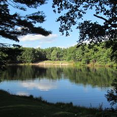
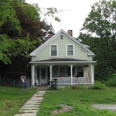
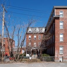
Leominster is a city in Worcester County, Massachusetts, located about 40 miles (64 km) northwest of Boston along the Nashua River. The city spreads across gentle hills with residential neighborhoods, commercial zones, and several public parks.

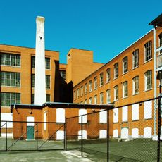
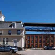
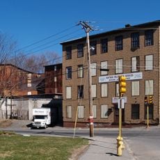
English settlers purchased the land from the Nashaway Indians in 1701 and established an agricultural community. The town transformed into a manufacturing center for combs during the 1800s and later for plastic goods.

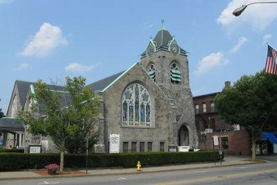
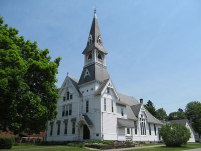
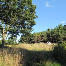
The place calls itself the Pioneer Plastics City, a title that still appears on town signs and in local conversation. Families visit Sholan Farms for apple picking and hiking, while downtown shows small shops and restaurants.

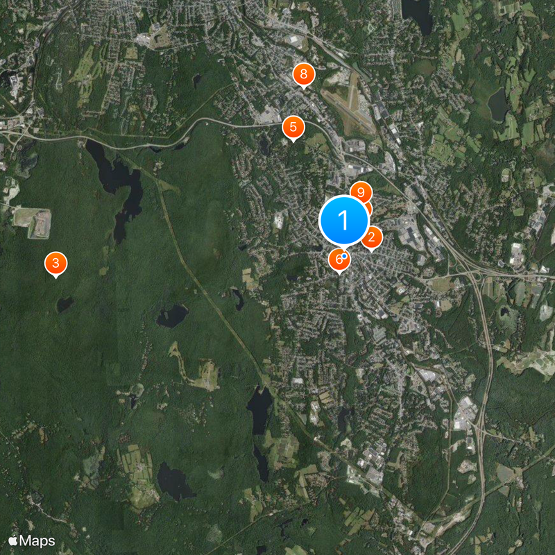
Visitors reach the city via Route 2 or Route 12, both connecting to larger highways. MBTA commuter rail service offers trains to Boston on weekdays, with the ride taking about an hour.

The National Plastics Center and Museum stood here until 2008, documenting the development of synthetic materials. The town also holds the birthplace of Johnny Appleseed, a marked plot near downtown.

The community of curious travelers

AroundUs brings together thousands of curated places, local tips, and hidden gems, enriched daily by 60,000 contributors worldwide.

Start exploring
Location
Inception
1653
Elevation above the sea
123 m
Shares border with
Lunenburg, Sterling
GPS coordinates
42.52500,-71.76028
Latest update
December 13, 2025 19:12
Around this place
Cluett Peabody & Company
United States of America

Cluett Peabody & Company

605 m
Leominster State Forest
United States of America

Leominster State Forest

6.4 km
Doyle Community Park & Center
United States of America

Doyle Community Park & Center

2.8 km
Doyle Community Park & Center
United States of America

Doyle Community Park & Center

2.8 km
Frances H. and Jonathan Drake House
United States of America

Frances H. and Jonathan Drake House

388 m
Pine Grove Cemetery
United States of America

Pine Grove Cemetery

823 m
Billerica Town Common District
United States of America

Billerica Town Common District

3.9 km
Wellington Piano Case Company Building
United States of America

Wellington Piano Case Company Building

1.2 km
Monument Square Historic District
United States of America

Monument Square Historic District

216 m
F. A. Whitney Carriage Company Complex Historic District
United States of America

F. A. Whitney Carriage Company Complex Historic District

635 m
Whitney & Company
United States of America

Whitney & Company

661 m
United States of America

Leominster High School

1.3 km
Wachusett Shirt Company
United States of America

Wachusett Shirt Company

423 m
United States of America

Lincoln Woods Wildlife Sanctuary

1.2 km
United States of America

Monument Square Historic District

198 m
United States of America

White Pond

3.9 km
United States of America

Fall Brook Reservoir

3.8 km
United States of America

Rialto Theater

323 m
United States of America

Stuart Pond

7.5 km
United States of America

Haynes Reservoir

4 km
United States of America

Hy-Crest Pond

6.3 km
United States of America

Lake Samoset

3.6 km
United States of America

Notown Reservoir

5.3 km
United States of America

James Pond

7.2 km
United States of America

Oak Hill Country Club

7.1 km
United States of America

Monoosnock Country Club

3.2 km
United States of America

Grandview Golf Course

4.2 km
United States of America

Granite Water Trough

951 m
Show the full map
« Leominster - Industrial city in Worcester County, Massachusetts » is provided by Around Us (aroundus.com). Images and texts are derived from Wikimedia project under a Creative Commons license. You are allowed to copy, distribute, and modify copies of this page, under the conditions set by the license, as long as this note is clearly visible.

Discover hidden gems everywhere you go!

From secret cafés to breathtaking viewpoints, skip the crowded tourist spots and find places that match your style. Our app makes it easy with voice search, smart filtering, route optimization, and insider tips from travelers worldwide. Download now for the complete mobile experience.

Around Us App Screenshot

A unique approach to discovering new places

Le Figaro

All the places worth exploring

France Info

A tailor-made excursion in just a few clicks

20 Minutes

Around Us
Travel Guide & Maps
Download

Send to your phone

QR Code
1

Open the camera app on your mobile.

2

Point at the QR code with your camera. A notification will appear.

3

Tap the notification to open the link.