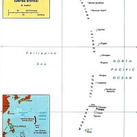
Northern Mariana Islands, US territory in Micronesia, Pacific Ocean.
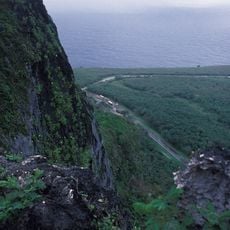
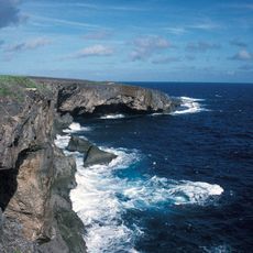
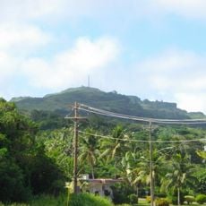
The Northern Mariana Islands comprise fifteen islands spread across the Philippine Sea, with three main islands inhabited by local communities. The landscape ranges from flat coral atolls to volcanic peaks, where tropical rainforest covers mountain slopes and white sand beaches line the coastal areas.
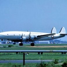
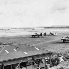
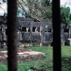
The territory came under American administration after successive colonizations by Spain, Germany, and Japan during the Second World War. The political relationship with the United States later evolved into commonwealth status, granting residents special rights and self-governance.
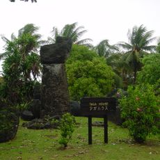
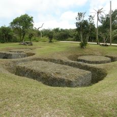
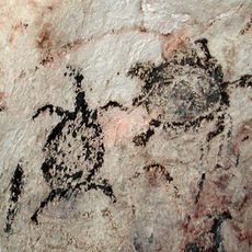
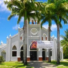
The Chamorro and Carolinian communities maintain their inherited customs through dances, songs, and ceremonies handed down across generations. Local festivals and markets display this living connection to the past, where travelers experience the traditional music and craftsmanship of the islanders firsthand.
Transportation between the three main islands operates through regular air and sea connections linking the different communities together. Travelers should note that the climate is tropical with occasional typhoons between July and November, while the rest of the year offers mild weather.
The proximity to the Mariana Trench, the deepest point in the oceans, draws scientists and researchers from around the world. Some of the northern islands remain uninhabited and serve as nature reserves, where rare bird species nest in complete isolation.
The community of curious travelers
AroundUs brings together thousands of curated places, local tips, and hidden gems, enriched daily by 60,000 contributors worldwide.