Carver County

Log in to your account

AroundUs is a community-driven map of interesting places, built by curious explorers like you. It grows with every review, story, and photo you share.
Connect to save your favorite spots, contribute locations, and create personalized routes.
Continue with Google
Continue with Apple
Continue with X
Continue with Facebook
Continue with email
By continuing, you accept our Terms and Conditions and our Privacy Policy
Create an account
Add to collection
Map
Suggest a change
Share

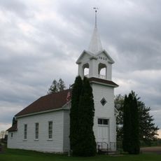
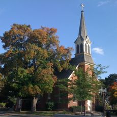
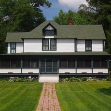
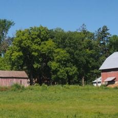
Carver County, Administrative county in eastern Minnesota, US

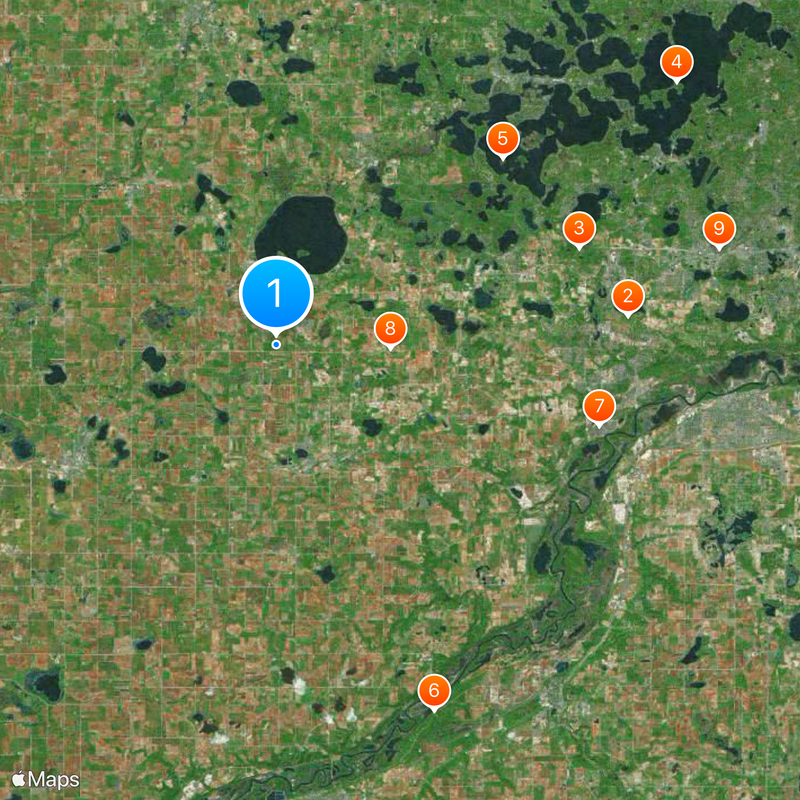
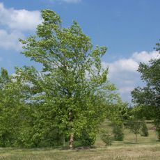
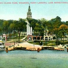
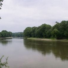
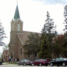
Carver County is an administrative county in eastern Minnesota featuring gently rolling terrain, farmland, and numerous lakes including Lake Waconia. The landscape is shaped by the mix of rural areas and developing communities connected to the Minneapolis-St. Paul region.

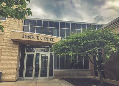
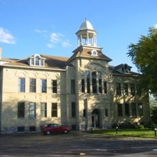
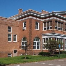
The county was established in 1855 and named after explorer Jonathan Carver, with Chaska serving as its administrative center. The name honors an early European explorer who traveled through the region.

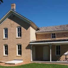
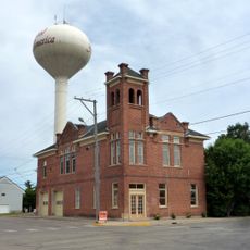
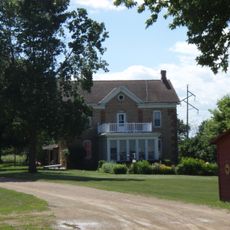
The county blends farming heritage with suburban growth, visible in the mix of working farms and residential communities that shape its character. Visitors notice how agricultural land transitions into newer neighborhoods throughout the region.

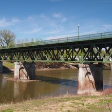
The main connections are U.S. Highway 212 and Minnesota State Highways 5 and 7, providing easy access to Minneapolis and surrounding areas. These roads run through the county and link its various towns and communities.

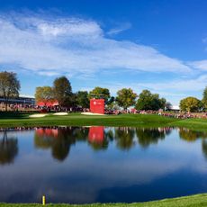
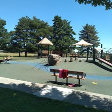
The county has been recognized for its strong public health achievements and is known for active outdoor recreation in its many lakes and parks. This recognition reflects the community's focus on wellness and healthy living.

Location: Minnesota

Inception: February 20, 1855

Capital city: Chaska

Shares border with: Wright County, Hennepin County, Scott County, Sibley County, McLeod County

Website: http://co.carver.mn.us

GPS coordinates: 44.82000,-93.80000

Latest update: December 20, 2025 02:22

Photos
Around this place
Hazeltine National Golf Club
United States of America

Hazeltine National Golf Club

17 km
Minnesota Landscape Arboretum
United States of America

Minnesota Landscape Arboretum

15.3 km
Big Island Amusement Park
United States of America

Big Island Amusement Park

23 km
Crane Island Historic District
United States of America

Crane Island Historic District

14.1 km
Minnesota Valley State Recreation Area
United States of America

Minnesota Valley State Recreation Area

19.2 km
Guardian Angels Church
United States of America

Guardian Angels Church

16.1 km
Zoar Moravian Church
United States of America

Zoar Moravian Church

5.5 km
Church of St. Hubertus-Catholic
United States of America

Church of St. Hubertus-Catholic

21.8 km
Thompson Summer House
United States of America

Thompson Summer House

20.6 km
Andrew Peterson Farmstead
United States of America

Andrew Peterson Farmstead

7.7 km
United States of America

Minnesota Valley Wetland Management District

17.6 km
Excelsior Public School
United States of America

Excelsior Public School

20.7 km
Peter Gideon Farmhouse
United States of America

Peter Gideon Farmhouse

18.9 km
Holmes Street Bridge
United States of America

Holmes Street Bridge

21.7 km
Wendelin Grimm Farmstead
United States of America

Wendelin Grimm Farmstead

9.9 km
Mudbaden Sulphur Springs Company
United States of America

Mudbaden Sulphur Springs Company

20.3 km
Young America City Hall
United States of America

Young America City Hall

9.9 km
Saint Mary's Church of the Purification
United States of America

Saint Mary's Church of the Purification

23.3 km
Winter Saloon
United States of America

Winter Saloon

11.7 km
Foss and Wells House
United States of America

Foss and Wells House

22.8 km
United States of America

Shakopee Bridge

21.8 km
Wyer House
United States of America

Wyer House

20.8 km
Walnut Street Historic District
United States of America

Walnut Street Historic District

16.3 km
Chaska Bridge
United States of America

Chaska Bridge

16.4 km
Strunk–Nyssen House
United States of America

Strunk–Nyssen House

19.5 km
Carver Historic District
United States of America

Carver Historic District

15.1 km
Early Shakopee Houses
United States of America

Early Shakopee Houses

22.1 km
Splash pad
United States of America

Splash pad

21 km
Show the full map
Reviews

Visited this place? Tap the stars to rate it and share your experience / photos with the community! Try now! You can cancel it anytime.

« Carver County - Administrative county in eastern Minnesota, US » is provided by Around Us (aroundus.com). Images and texts are derived from Wikimedia project under a Creative Commons license. You are allowed to copy, distribute, and modify copies of this page, under the conditions set by the license, as long as this note is clearly visible.

Discover hidden gems everywhere you go!

From secret cafés to breathtaking viewpoints, skip the crowded tourist spots and find places that match your style. Our app makes it easy with voice search, smart filtering, route optimization, and insider tips from travelers worldwide. Download now for the complete mobile experience.

Around Us App Screenshot

A unique approach to discovering new places

Le Figaro

All the places worth exploring

France Info

A tailor-made excursion in just a few clicks

20 Minutes