
Carver County, Administrative county in eastern Minnesota, US
Carver County spans 376 square miles of land characterized by low rolling hills, agricultural fields, and numerous lakes including Lake Waconia.
Named after explorer Jonathan Carver, this Minnesota county was formally established on February 20, 1855, with Chaska designated as its administrative center.
The county maintains strong agricultural traditions while integrating modern developments through its participation in the Minneapolis-St. Paul metropolitan region.
The county's transportation network includes U.S. Highway 212 and Minnesota State Highways 5 and 7, connecting residents to Minneapolis and surrounding areas.
With 106,922 residents as of 2020, Carver County earned recognition as Minnesota's healthiest county for seven consecutive years from 2017 to 2023.
Location: Minnesota
Inception: February 20, 1855
Capital city: Chaska
Shares border with: Wright County, Hennepin County, Scott County, Sibley County, McLeod County
Website: http://co.carver.mn.us
GPS coordinates: 44.82000,-93.80000
Latest update: May 27, 2025 08:40

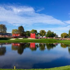
Hazeltine National Golf Club
17 km
Minnesota Landscape Arboretum
15.3 km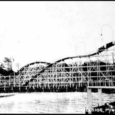
Excelsior Amusement Park
20.9 km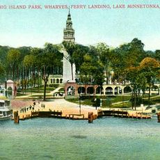
Big Island Amusement Park
23 km
Crane Island Historic District
14.1 km
Minnesota Valley State Recreation Area
19.2 km
Guardian Angels Church
16.1 km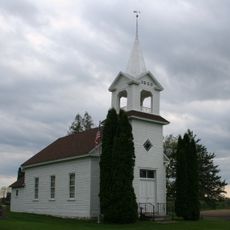
Zoar Moravian Church
5.5 km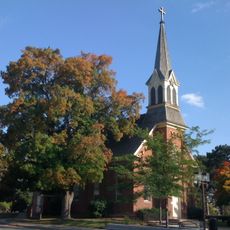
Church of St. Hubertus-Catholic
21.8 km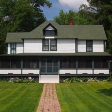
Thompson Summer House
20.6 km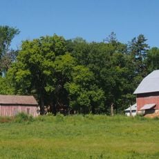
Andrew Peterson Farmstead
7.7 km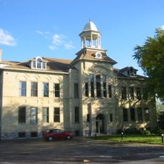
Excelsior Public School
20.7 km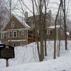
Peter Gideon Farmhouse
18.9 km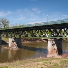
Holmes Street Bridge
21.7 km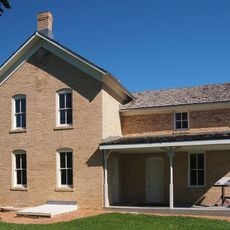
Wendelin Grimm Farmstead
9.9 km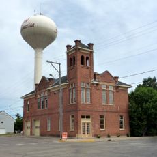
Young America City Hall
9.9 km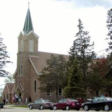
Saint Mary's Church of the Purification
23.3 km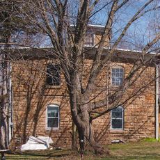
Foss and Wells House
22.8 km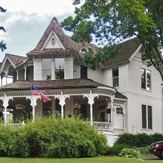
Wyer House
20.8 km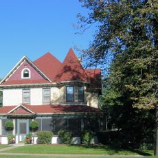
Walnut Street Historic District
16.3 km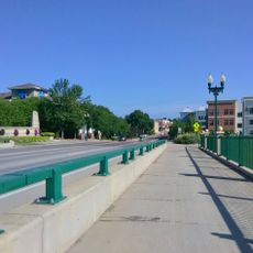
Chaska Bridge
16.4 km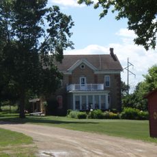
Strunk–Nyssen House
19.5 km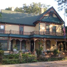
Carver Historic District
15.1 km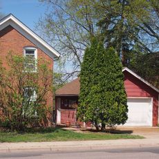
Early Shakopee Houses
22.1 km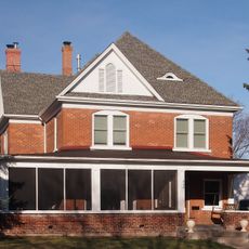
Julius A. Coller House
21.8 km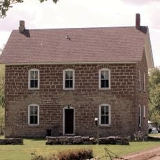
Abraham Bisson House
19.4 km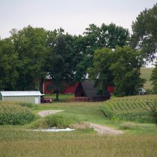
Johann Schimmelpfennig Farmstead
7.7 km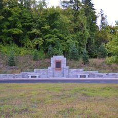
Little Rapids Fur Post Historical Marker
15.4 kmReviews
Visited this place? Tap the stars to rate it and share your experience / photos with the community! Try now! You can cancel it anytime.
Discover hidden gems everywhere you go!
From secret cafés to breathtaking viewpoints, skip the crowded tourist spots and find places that match your style. Our app makes it easy with voice search, smart filtering, route optimization, and insider tips from travelers worldwide. Download now for the complete mobile experience.

A unique approach to discovering new places❞
— Le Figaro
All the places worth exploring❞
— France Info
A tailor-made excursion in just a few clicks❞
— 20 Minutes