
Crow Wing County, Administrative county in central Minnesota, US
Crow Wing County extends across 1,157 square miles of land characterized by dense forests, 417 lakes, and the Mississippi River passage through Minnesota.
The territorial government established the county on May 23, 1857, naming it after the Crow Wing River, with Brainerd designated as its capital.
The region maintains connections to its Native American heritage through preserved locations where Ojibwe and Dakota tribes lived before European settlement.
The county government provides digital services through self-serve kiosks in Pequot Lakes and Crosby for applications, permits, and property information access.
The county received the Triple Crown Award for fiscal management, making it one of four counties in Minnesota with this recognition.
Location: Minnesota
Inception: May 23, 1857
Capital city: Brainerd
Shares border with: Cass County, Aitkin County, Mille Lacs County, Morrison County
Website: http://co.crow-wing.mn.us
GPS coordinates: 46.49000,-94.07000
Latest update: May 27, 2025 13:27

Paul Bunyan Land
15.6 km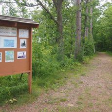
Milford Mine
9.1 km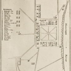
Fort Ripley
42 km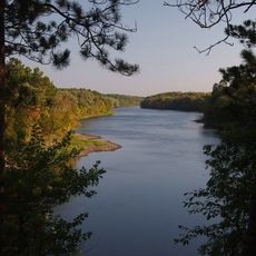
Crow Wing State Park
31.6 km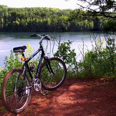
Cuyuna Country State Recreation Area
7.1 km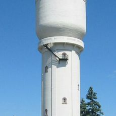
Brainerd Water Tower
17.7 km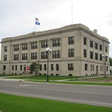
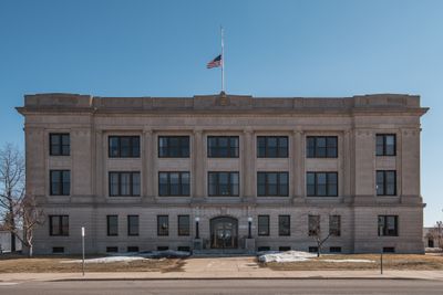
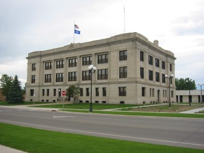
Crow Wing County Courthouse and Jail
18.2 km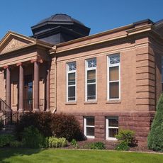
Brainerd Public Library
17.7 km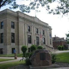
Aitkin County Courthouse and Jail
28 km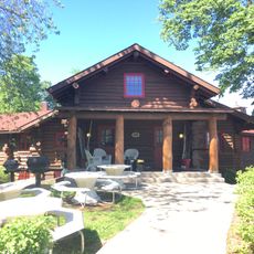
Wilford H. Fawcett House
15.3 km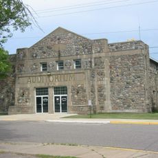
Deerwood Auditorium
13.2 km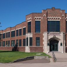
Franklin Junior High School
17.4 km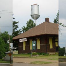
Cuyuna Iron Range Municipally-Owned Elevated Metal Water Tanks
9.2 km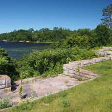
Kenney Lake Overlook
25.1 km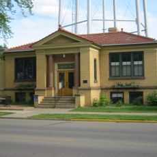
Aitkin Carnegie Library
28.1 km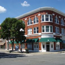
Parker Building
17.9 km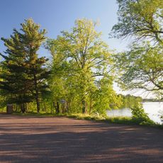
Pine-Hickory Lakes Roadside Parking Area
26 km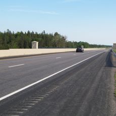
Minnesota Highway 371 Bridge
24.9 km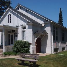
Cole Memorial Building
22.6 km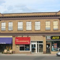
Potter/Casey Company Building
28.3 km
Washington Street Bridge
18.3 km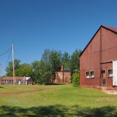
Ironton Sintering Plant Complex
7.4 km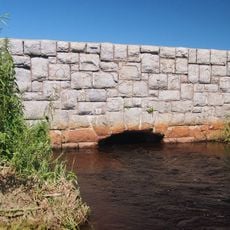
St. Alban's Bay Culvert
30.6 km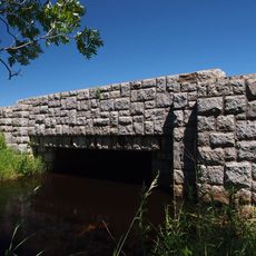
Bridge No. 3355-Kathio Township
37.3 km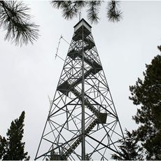
Pequot Fire Lookout Tower
21.5 km
Rialto Theatre
28.3 km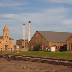
Northern Pacific Railroad Shops Historic District
17.1 km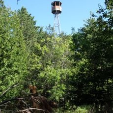
Emily Lookout Tower
23.6 kmReviews
Visited this place? Tap the stars to rate it and share your experience / photos with the community! Try now! You can cancel it anytime.
Discover hidden gems everywhere you go!
From secret cafés to breathtaking viewpoints, skip the crowded tourist spots and find places that match your style. Our app makes it easy with voice search, smart filtering, route optimization, and insider tips from travelers worldwide. Download now for the complete mobile experience.

A unique approach to discovering new places❞
— Le Figaro
All the places worth exploring❞
— France Info
A tailor-made excursion in just a few clicks❞
— 20 Minutes