Enable Location

We need your location to show you interesting places around you

Discover nearby places

Find interesting locations and hidden gems around you

Precise directions

Get accurate directions and distances to places

Your location is never shared with other users. It's only used when you tap the location button.

Greene County

Log in to your account

Start exploring — it's free

Trusted by 62,796 travelers worldwide

Continue with Google
Continue with Apple
or

We will send you a code to connect

By continuing, you accept our Terms and Conditions and our Privacy Policy

Check your inbox

We've sent a pincode in your inbox. Please enter the code below.

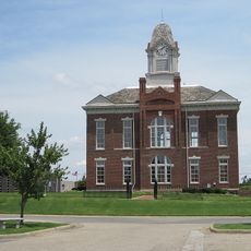
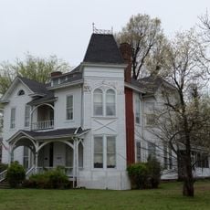
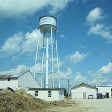
Greene County, County seat in northeastern Arkansas, United States.

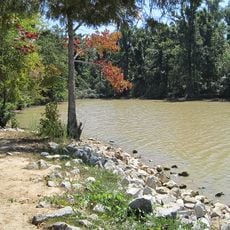
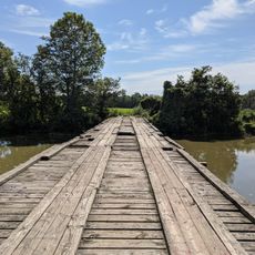
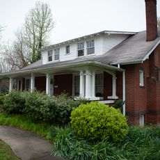
Greene County is an administrative county in northeastern Arkansas with flat farmland on its eastern and western edges and rolling terrain through its center. The landscape transitions between productive agricultural areas and higher ground that creates a mix of terrain types.

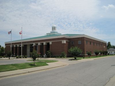
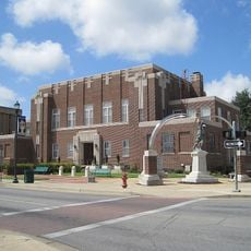
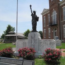
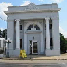
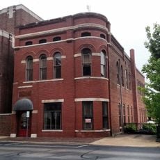
The county was established in 1833 from an earlier administrative division and named after a Revolutionary War general. A new courthouse built in the late 1990s replaced earlier facilities and represented significant investment in local government infrastructure.

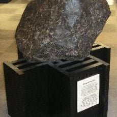
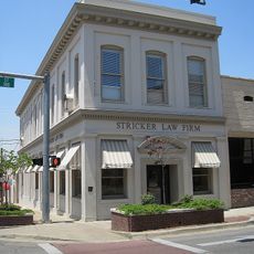
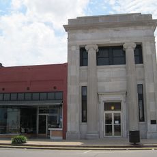
The courthouse stands at the heart of community life, displaying a preserved safe from an earlier era that reflects local heritage and serves as a tangible link to the past.

The county is accessible by main roads from surrounding areas, with entry points depending on your direction of travel. Administrative offices are centrally located and available during standard business hours throughout the week.

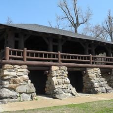
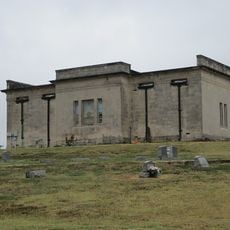
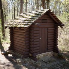
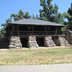
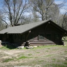
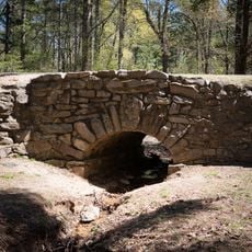
A state park within the region preserves unusual sand formations from ancient times along with pioneer burial grounds and homestead remains. This combination of natural features and human settlement marks offers visitors a glimpse into both geological and local history.

The community of curious travelers

AroundUs brings together thousands of curated places, local tips, and hidden gems, enriched daily by 60,000 contributors worldwide.

Start exploring
Location
Inception
November 5, 1833
Capital city
Paragould
Shares border with
Clay County, Craighead County, Dunklin County, Randolph County, Lawrence County
GPS coordinates
36.10583,-90.56139
Latest update
December 7, 2025 20:49
Around this place
Crowley's Ridge State Park
United States of America

Crowley's Ridge State Park

11.4 km
Paragould meteorite
United States of America

Paragould meteorite

12.6 km
Lake Frierson State Park
United States of America

Lake Frierson State Park

20.4 km
Craighead County Courthouse
United States of America

Craighead County Courthouse

32.6 km
St. Francis River Bridge
United States of America

St. Francis River Bridge

33.8 km
Cache River Bridge
United States of America

Cache River Bridge

24 km
Greene County Courthouse
United States of America

Greene County Courthouse

8.9 km
Mercantile Bank Building
United States of America

Mercantile Bank Building

32.3 km
National Bank of Commerce Building (Paragould, Arkansas)
United States of America

National Bank of Commerce Building (Paragould, Arkansas)

8.8 km
West Washington Avenue Historic District
United States of America

West Washington Avenue Historic District

32.6 km
Paragould War Memorial
United States of America

Paragould War Memorial

8.6 km
Craighead County Road 513C Bridge
United States of America

Craighead County Road 513C Bridge

24.1 km
Linwood Mausoleum
United States of America

Linwood Mausoleum

8 km
Sheeks House
United States of America

Sheeks House

33.4 km
Oliver House
United States of America

Oliver House

33.9 km
Jackson-Herget House
United States of America

Jackson-Herget House

8.5 km
Crowley's Ridge State Park-Comfort Station
United States of America

Crowley's Ridge State Park-Comfort Station

11.3 km
Crowley's Ridge State Park-Bathhouse
United States of America

Crowley's Ridge State Park-Bathhouse

11.4 km
Beisel-Mitchell House
United States of America

Beisel-Mitchell House

8.4 km
Highfill-McClure House
United States of America

Highfill-McClure House

8.1 km
Crowley's Ridge State Park-Dining Hall
United States of America

Crowley's Ridge State Park-Dining Hall

11.1 km
Crowley's Ridge State Park-Bridge
United States of America

Crowley's Ridge State Park-Bridge

11.4 km
Knob School
United States of America

Knob School

22 km
First National Bank Building
United States of America

First National Bank Building

30.9 km
Edward L. Westbrooke Building
United States of America

Edward L. Westbrooke Building

32.6 km
Clay County Courthouse, Western District
United States of America

Clay County Courthouse, Western District

33.3 km
Centennial Bank Stadium
United States of America

Centennial Bank Stadium

30.1 km
Monette Water Tower
United States of America

Monette Water Tower

30.9 km
Show the full map
Administrative divisions
« Greene County - County seat in northeastern Arkansas, United States » is provided by Around Us (aroundus.com). Images and texts are derived from Wikimedia project under a Creative Commons license. You are allowed to copy, distribute, and modify copies of this page, under the conditions set by the license, as long as this note is clearly visible.

Discover hidden gems everywhere you go!

From secret cafés to breathtaking viewpoints, skip the crowded tourist spots and find places that match your style. Our app makes it easy with voice search, smart filtering, route optimization, and insider tips from travelers worldwide. Download now for the complete mobile experience.

Around Us App Screenshot

A unique approach to discovering new places

Le Figaro

All the places worth exploring

France Info

A tailor-made excursion in just a few clicks

20 Minutes

Around Us
Travel Guide & Maps
Download

Send to your phone

QR Code
1

Open the camera app on your mobile.

2

Point at the QR code with your camera. A notification will appear.

3

Tap the notification to open the link.