Enable Location

We need your location to show you interesting places around you

Discover nearby places

Find interesting locations and hidden gems around you

Precise directions

Get accurate directions and distances to places

Your location is never shared with other users. It's only used when you tap the location button.

Log in to your account

Start exploring — it's free

Trusted by 62,806 travelers worldwide

Continue with Google
Continue with Apple
or

We will send you a code to connect

By continuing, you accept our Terms and Conditions and our Privacy Policy

Check your inbox

We've sent a pincode in your inbox. Please enter the code below.

Paragould, County seat in Greene County, Arkansas, United States.

Paragould is a city in northeastern Arkansas located on Crowley's Ridge, a geological formation that rises above the surrounding Arkansas Delta. It serves as the county seat and is connected by multiple highways to larger cities in the region.

The city was founded in 1883 when two railroad lines intersected, creating a name from the surnames of two railroad leaders. This railway junction origin shaped its early development as a regional transportation hub.

The Collins Theatre hosts theatrical performances and musical events throughout the year, serving as a gathering place for the community. Locals regularly support these shows, keeping the tradition of live entertainment central to city life.

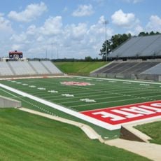
The city is easiest to navigate by car, with multiple highways passing through it. Basic amenities and services are centrally located and accessible from the main roads.

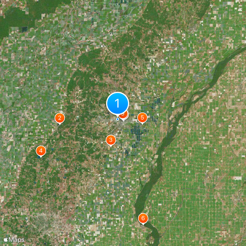
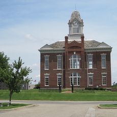
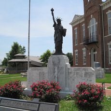
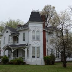
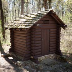
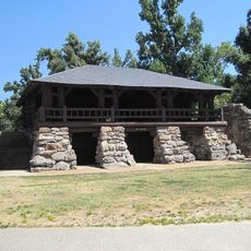
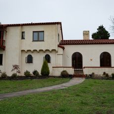
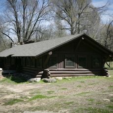
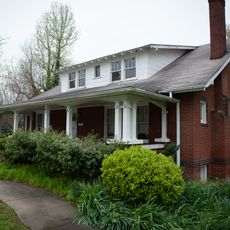
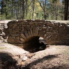
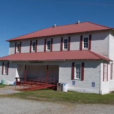
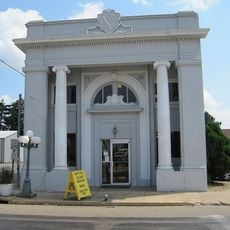
Twelve sites within the city are registered on the National Register of Historic Places, including the former county courthouse. This architectural heritage makes it a destination for those interested in exploring the region's past.

The community of curious travelers

AroundUs brings together thousands of curated places, local tips, and hidden gems, enriched daily by 60,000 contributors worldwide.

Start exploring
Location
Inception
1883
Elevation above the sea
92 m
GPS coordinates
36.05694,-90.50306
Latest update
December 20, 2025 02:14
Around this place
Crowley's Ridge State Park
United States of America

Crowley's Ridge State Park

14.6 km
Paragould meteorite
United States of America

Paragould meteorite

6.9 km
Lake Frierson State Park
United States of America

Lake Frierson State Park

21.4 km
George Ray's Dragstrip
United States of America

George Ray's Dragstrip

6.3 km
St. Francis River Bridge
United States of America

St. Francis River Bridge

27.1 km
Greene County Courthouse
United States of America

Greene County Courthouse

1.5 km
National Bank of Commerce Building (Paragould, Arkansas)
United States of America

National Bank of Commerce Building (Paragould, Arkansas)

1.5 km
Paragould War Memorial
United States of America

Paragould War Memorial

1.3 km
Craighead County Road 513C Bridge
United States of America

Craighead County Road 513C Bridge

16.9 km
Linwood Mausoleum
United States of America

Linwood Mausoleum

651 m
United States of America

Victor Cicero Kays House

28.4 km
Jackson-Herget House
United States of America

Jackson-Herget House

1.1 km
Crowley's Ridge State Park-Comfort Station
United States of America

Crowley's Ridge State Park-Comfort Station

14.2 km
Crowley's Ridge State Park-Bathhouse
United States of America

Crowley's Ridge State Park-Bathhouse

14.5 km
Beisel-Mitchell House
United States of America

Beisel-Mitchell House

1.1 km
Crowley's Ridge State Park-Dining Hall
United States of America

Crowley's Ridge State Park-Dining Hall

14.4 km
Highfill-McClure House
United States of America

Highfill-McClure House

785 m
Crowley's Ridge State Park-Bridge
United States of America

Crowley's Ridge State Park-Bridge

14.5 km
Knob School
United States of America

Knob School

25.4 km
First National Bank Building
United States of America

First National Bank Building

23.4 km
Centennial Bank Stadium
United States of America

Centennial Bank Stadium

27.5 km
United States of America

Linwood Cemetery

686 m
Monette Water Tower
United States of America

Monette Water Tower

23.3 km
United States of America

Big Creek Site Seven Reservoir

25.9 km
United States of America

Cypress Point

25.1 km
United States of America

Paragould Country Club

3.8 km
United States of America

Sage Meadows Country Club

22.5 km
United States of America

John Sappington Marmaduke Memorial Sign

18 km
Show the full map
« Paragould - County seat in Greene County, Arkansas, United States » is provided by Around Us (aroundus.com). Images and texts are derived from Wikimedia project under a Creative Commons license. You are allowed to copy, distribute, and modify copies of this page, under the conditions set by the license, as long as this note is clearly visible.

Discover hidden gems everywhere you go!

From secret cafés to breathtaking viewpoints, skip the crowded tourist spots and find places that match your style. Our app makes it easy with voice search, smart filtering, route optimization, and insider tips from travelers worldwide. Download now for the complete mobile experience.

Around Us App Screenshot

A unique approach to discovering new places

Le Figaro

All the places worth exploring

France Info

A tailor-made excursion in just a few clicks

20 Minutes

Around Us
Travel Guide & Maps
Download

Send to your phone

QR Code
1

Open the camera app on your mobile.

2

Point at the QR code with your camera. A notification will appear.

3

Tap the notification to open the link.