Crittenden County

Log in to your account

14M+
places
190+
countries
Save your favorite places
Create custom travel routes
Rate and review places
Access the full interactive map
Continue with Google
Continue with Apple
Continue with email
By continuing, you accept our Terms and Conditions and our Privacy Policy
Create an account
Add to collection
Map
Suggest a change
Share

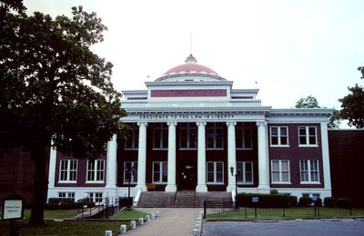
Crittenden County, Administrative county in eastern Arkansas, United States.

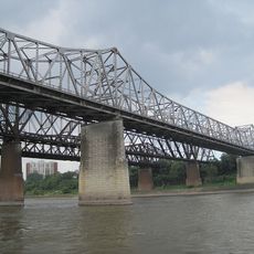
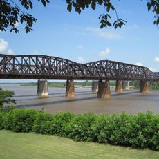
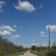
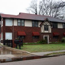
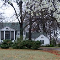
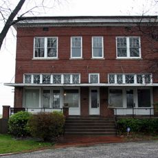
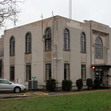
Crittenden County is an administrative area in eastern Arkansas that stretches along the Mississippi River, defined by farmland, waterways, and small towns. The terrain is flat and marked by rivers and streams that run through agricultural zones and residential areas.

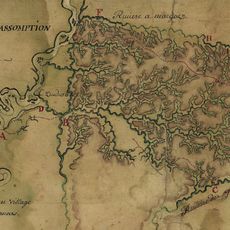
The county was established in 1825 and named after Charles Crittenden, an early Arkansas judge. This founding period coincided with rapid agricultural settlement and development across the region.

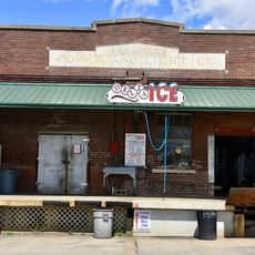
The area has deep roots in African American history and culture that shape local communities and their musical traditions. Many residents maintain customs tied to blues heritage and local celebrations that define the rhythm of everyday life here.

The area is located near Tennessee and connects to Memphis through major highways, making it easy to access larger services and shopping options. Visitors should keep in mind this is rural territory, so some areas are less densely developed and require a car.

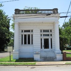
The region was once home to large cotton plantations that shaped Southern economy during the 1800s. This agricultural heritage remains visible in the landscape and continues to influence local identity today.

Location: Arkansas

Inception: October 22, 1825

Capital city: Marion

Shares border with: Mississippi County, Tunica County, Tipton County, Shelby County, DeSoto County, Lee County, St. Francis County, Cross County, Poinsett County

Website: https://crittendencountyar.org

GPS coordinates: 35.24000,-90.30000

Latest update: December 23, 2025 05:23

Photos
Around this place
Chucalissa Indian Village
United States of America

Chucalissa Indian Village

25.2 km
Memphis & Arkansas Bridge
United States of America

Memphis & Arkansas Bridge

23.9 km
Harahan Bridge
United States of America

Harahan Bridge

23.8 km
Frisco Bridge
United States of America

Frisco Bridge

23.8 km
T. O. Fuller State Park
United States of America

T. O. Fuller State Park

25.2 km
United States of America

Wapanocca National Wildlife Refuge

14 km
Fort Assumption
United States of America

Fort Assumption

24.4 km
Metal Museum
United States of America

Metal Museum

24.2 km
Earle High School
United States of America

Earle High School

16 km
United States of America

Circle G Ranch

36.3 km
Crittenden County Courthouse
United States of America

Crittenden County Courthouse

9.8 km
Berry Cemetery
United States of America

Berry Cemetery

16.5 km
Highway A-7, Gilmore to Turrell
United States of America

Highway A-7, Gilmore to Turrell

19 km
Hughes Water Tower
United States of America

Hughes Water Tower

36 km
Hamilton Apartments
United States of America

Hamilton Apartments

14.4 km
Lawrie House
United States of America

Lawrie House

14.8 km
Dabbs Store
United States of America

Dabbs Store

15.7 km
West Memphis City Hall
United States of America

West Memphis City Hall

14.8 km
Marion Colored High School
United States of America

Marion Colored High School

9.2 km
Crittenden County Bank and Trust Company
United States of America

Crittenden County Bank and Trust Company

9.9 km
Johnson-Portis House
United States of America

Johnson-Portis House

13.9 km
Wilson Power and Light Company Ice Plant
United States of America

Wilson Power and Light Company Ice Plant

14.8 km
Old Turrell City Hall
United States of America

Old Turrell City Hall

15.9 km
United States of America

Alex Cadion Gravesite

16.4 km
Sultana Disaster Museum
United States of America

Sultana Disaster Museum

9.8 km
United States of America

Lake Greenwood Leflore

46.2 km
United States of America

Cypress View Golf & Recreation Club

10 km
United States of America

Meadowbrook Country Club

13.6 km
Show the full map
Reviews

Visited this place? Tap the stars to rate it and share your experience / photos with the community! Try now! You can cancel it anytime.

Administrative divisions
« Crittenden County - Administrative county in eastern Arkansas, United States » is provided by Around Us (aroundus.com). Images and texts are derived from Wikimedia project under a Creative Commons license. You are allowed to copy, distribute, and modify copies of this page, under the conditions set by the license, as long as this note is clearly visible.

Discover hidden gems everywhere you go!

From secret cafés to breathtaking viewpoints, skip the crowded tourist spots and find places that match your style. Our app makes it easy with voice search, smart filtering, route optimization, and insider tips from travelers worldwide. Download now for the complete mobile experience.

Around Us App Screenshot

A unique approach to discovering new places

Le Figaro

All the places worth exploring

France Info

A tailor-made excursion in just a few clicks

20 Minutes