Adair County

Log in to your account

AroundUs is a community-driven map of interesting places, built by curious explorers like you. It grows with every review, story, and photo you share.
Connect to save your favorite spots, contribute locations, and create personalized routes.
Continue with Google
Continue with Apple
Continue with X
Continue with Facebook
Continue with email
By continuing, you accept our Terms and Conditions and our Privacy Policy
Create an account
Add to collection
Map
Suggest a change
Share

Adair County, County administrative division in Iowa, United States.

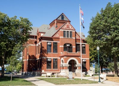
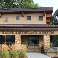
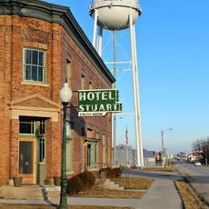
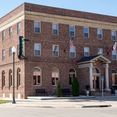
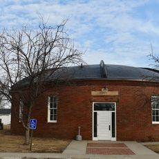
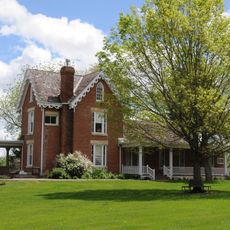
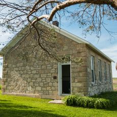
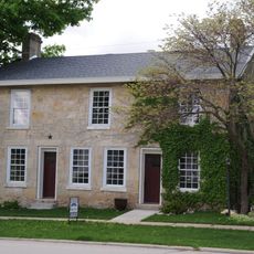
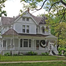
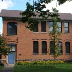
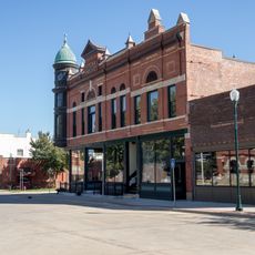
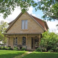
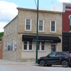
Adair County is a county in Iowa, primarily composed of farmland with several small towns spread throughout the region. Greenfield serves as the county seat and functions as the administrative and service center for the area.

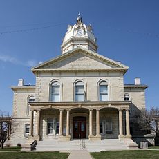
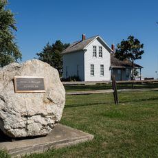
The county was established in 1851 and named after John Adair, a general who served in the War of 1812 and later became Kentucky's governor. This founding reflected the era of westward expansion as the region developed and attracted settlers.

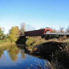
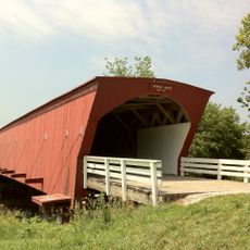
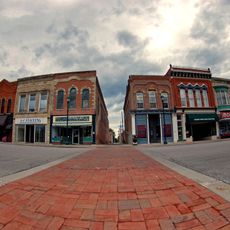
The communities here are deeply rooted in farming traditions that shape how neighbors interact and celebrate together throughout the year. You notice this connection to the land in local festivals and gatherings at the town squares, where farmers and families share their stories and harvest experiences.

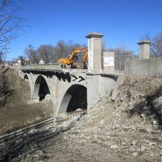
Most locations in the area are easily accessible by car, with good road connections throughout the region. Keep in mind that services in smaller towns are limited, so it helps to plan ahead and check where shops and restaurants are located.

The county sits at a crossroads where several major highways converge, connecting travelers and shaping the region's economic patterns. This strategic location has influenced settlement and commerce patterns over generations.

Location: Iowa

Inception: 1851

Capital city: Greenfield

Shares border with: Guthrie County, Adams County, Cass County, Union County, Madison County, Audubon County, Dallas County

Website: http://adaircountyiowa.org

GPS coordinates: 41.33056,-94.47111

Latest update: December 7, 2025 20:44

Photos
Around this place
Roseman Covered Bridge
United States of America

Roseman Covered Bridge

27.2 km
Hogback Covered Bridge
United States of America

Hogback Covered Bridge

35.9 km
All Saints Catholic Church
United States of America

All Saints Catholic Church

23.5 km
Iowa Aviation Museum
United States of America

Iowa Aviation Museum

2.3 km
John Wayne Birthplace Museum
United States of America

John Wayne Birthplace Museum

38.3 km
Madison County Courthouse
United States of America

Madison County Courthouse

38 km
Adair County Courthouse
United States of America

Adair County Courthouse

3 km
Masonic Temple Building
United States of America

Masonic Temple Building

23.2 km
Sexton Hotel
United States of America

Sexton Hotel

23.2 km
Jefferson Elementary School
United States of America

Jefferson Elementary School

31.3 km
Henry C. Wallace House
United States of America

Henry C. Wallace House

37.8 km
United States Post Office
United States of America

United States Post Office

31.5 km
Hotel Greenfield
United States of America

Hotel Greenfield

3 km
Adair Viaduct
United States of America

Adair Viaduct

23.5 km
Dexter Community House
United States of America

Dexter Community House

29 km
C.D. Bevington House and Stone Barn
United States of America

C.D. Bevington House and Stone Barn

38.1 km
North River Stone Schoolhouse
United States of America

North River Stone Schoolhouse

36.7 km
Guiberson House
United States of America

Guiberson House

37.8 km
W.J. and Nettie J. Cornell House
United States of America

W.J. and Nettie J. Cornell House

37.6 km
Winterset Courthouse Square Commercial Historic District
United States of America

Winterset Courthouse Square Commercial Historic District

38.2 km
Catalpa
United States of America

Catalpa

14.4 km
Earlham Public School
United States of America

Earlham Public School

34.3 km
Warren Opera House Block and Hetherington Block
United States of America

Warren Opera House Block and Hetherington Block

3 km
C.D. and Eliza Heath Bevington Privy
United States of America

C.D. and Eliza Heath Bevington Privy

38.2 km
Emily Hornback House
United States of America

Emily Hornback House

38.3 km
White, Munger and Company Store
United States of America

White, Munger and Company Store

38.2 km
William and Mary
United States of America

William and Mary

34.3 km
Miller Richard and Mary Fisher Tidrick House
United States of America

Miller Richard and Mary Fisher Tidrick House

37.8 km
Show the full map
Reviews

Visited this place? Tap the stars to rate it and share your experience / photos with the community! Try now! You can cancel it anytime.

« Adair County - County administrative division in Iowa, United States » is provided by Around Us (aroundus.com). Images and texts are derived from Wikimedia project under a Creative Commons license. You are allowed to copy, distribute, and modify copies of this page, under the conditions set by the license, as long as this note is clearly visible.

Discover hidden gems everywhere you go!

From secret cafés to breathtaking viewpoints, skip the crowded tourist spots and find places that match your style. Our app makes it easy with voice search, smart filtering, route optimization, and insider tips from travelers worldwide. Download now for the complete mobile experience.

Around Us App Screenshot

A unique approach to discovering new places

Le Figaro

All the places worth exploring

France Info

A tailor-made excursion in just a few clicks

20 Minutes