Enable Location

We need your location to show you interesting places around you

Discover nearby places

Find interesting locations and hidden gems around you

Precise directions

Get accurate directions and distances to places

Your location is never shared with other users. It's only used when you tap the location button.

Weston County

Log in to your account

Start exploring — it's free

Trusted by 61,643 travelers worldwide

Continue with Google
Continue with Apple
or

We will send you a code to connect

By continuing, you accept our Terms and Conditions and our Privacy Policy

Check your inbox

We've sent a pincode in your inbox. Please enter the code below.

Weston County, County administrative division in Wyoming, United States.

Description

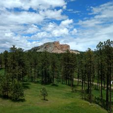
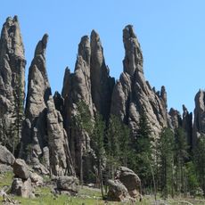
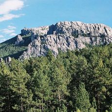
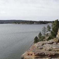
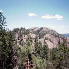
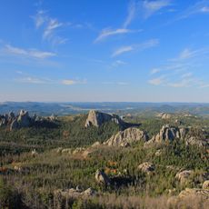
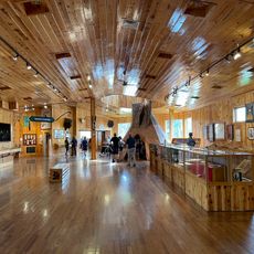
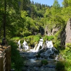
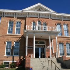
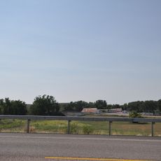
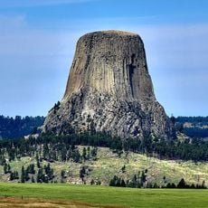
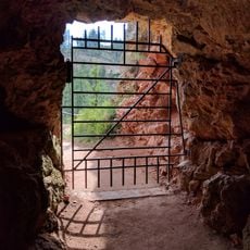
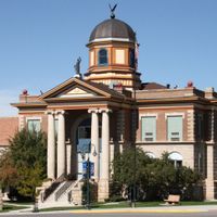
Weston County is an administrative division in northeastern Wyoming covering diverse terrain with forested hills, grassland, and portions of the Black Hills region. Newcastle functions as its administrative center, housing government offices that serve the county's residents.

History

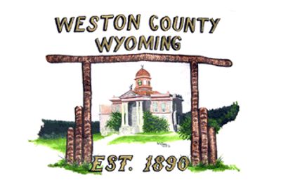
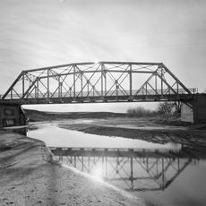
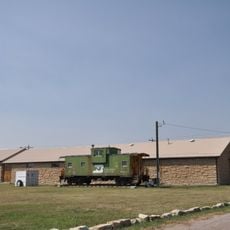
The county was established in 1890 from parts of a neighboring administrative region during a period when railroads were driving regional growth. This creation allowed for independent local governance as the area continued to develop.

Culture

The area carries the name of a railroad businessman whose work shaped regional growth. Local communities maintain connections to this transportation heritage, which remains part of how people understand their home.

Practical

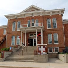
Visitors will find most services centered in Newcastle, where all government offices are located together. The county is sparsely populated, so it helps to know where facilities are situated before traveling.

Did you know?

The territory borders eight different administrative regions across Wyoming and South Dakota, making it a natural meeting point for cross-boundary activity. This unusual position at the edge of multiple jurisdictions shapes local economic and social connections.

Location
Inception
1890
Capital city
Newcastle
Shares border with
Crook County, Lawrence County, Pennington County, Custer County, Niobrara County, Converse County, Campbell County
GPS coordinates
43.84000,-104.56000
Latest update
December 7, 2025 20:49

AroundUs brings together thousands of curated places, local tips, and hidden gems, enriched daily by 60,000 contributors worldwide. Discover all places nearby (Wyoming).

Around this place
Crazy Horse Memorial
United States of America

Crazy Horse Memorial

75.2 km
Needles
United States of America

Needles

81.2 km
Black Elk Peak
United States of America

Black Elk Peak

82.7 km
Keyhole State Park
United States of America

Keyhole State Park

56.6 km
Inyan Kara Mountain
United States of America

Inyan Kara Mountain

44.8 km
Black Hills Institute of Geological Research, Inc.
United States of America

Black Hills Institute of Geological Research, Inc.

79.7 km
Ranch A
United States of America

Ranch A

80.7 km
Black Elk Wilderness
United States of America

Black Elk Wilderness

82.5 km
Crazy Horse Memorial
United States of America

Crazy Horse Memorial

74.6 km
Roughlock Falls Nature Area
United States of America

Roughlock Falls Nature Area

75.1 km
DSD Bridge over Cheyenne River
United States of America

DSD Bridge over Cheyenne River

58 km
1881 Courthouse Museum
United States of America

1881 Courthouse Museum

77.4 km
Jenney Stockade Site
United States of America

Jenney Stockade Site

36 km
Wyoming Army National Guard Cavalry Stable
United States of America

Wyoming Army National Guard Cavalry Stable

29.5 km
Sundance State Bank Building
United States of America

Sundance State Bank Building

64.6 km
Weston County Courthouse
United States of America

Weston County Courthouse

28.8 km
Sundance School
United States of America

Sundance School

64.7 km
Jewel Cave
United States of America

Jewel Cave

60 km
Devils Tower Information Marker
United States of America

Devils Tower Information Marker

80.8 km
Custer County Courthouse
United States of America

Custer County Courthouse

77.5 km
Jewel Cave Ranger Station
United States of America

Jewel Cave Ranger Station

58.9 km
Black Elk Peak Lookout Tower
United States of America

Black Elk Peak Lookout Tower

82.6 km
Sunday Gulch Trail
United States of America

Sunday Gulch Trail

79.5 km
Historic Trail and Cave Entrance
United States of America

Historic Trail and Cave Entrance

58.9 km
Civilian Conservation Corps Museum
United States of America

Civilian Conservation Corps Museum

80.9 km
Dogie Theater
United States of America

Dogie Theater

28.7 km
Jewel Cave Visitor Center
United States of America

Jewel Cave Visitor Center

60 km
Elk Mountain Lookout Tower
United States of America

Elk Mountain Lookout Tower

43.6 km
Show the full map
Administrative divisions
« Weston County - County administrative division in Wyoming, United States » is provided by Around Us (aroundus.com). Images and texts are derived from Wikimedia project under a Creative Commons license. You are allowed to copy, distribute, and modify copies of this page, under the conditions set by the license, as long as this note is clearly visible.

Discover hidden gems everywhere you go!

From secret cafés to breathtaking viewpoints, skip the crowded tourist spots and find places that match your style. Our app makes it easy with voice search, smart filtering, route optimization, and insider tips from travelers worldwide. Download now for the complete mobile experience.

Around Us App Screenshot

A unique approach to discovering new places

Le Figaro

All the places worth exploring

France Info

A tailor-made excursion in just a few clicks

20 Minutes

Around Us
Travel Guide & Maps
Download

Send to your phone

QR Code
1

Open the camera app on your mobile.

2

Point at the QR code with your camera. A notification will appear.

3

Tap the notification to open the link.