Enable Location

We need your location to show you interesting places around you

Discover nearby places

Find interesting locations and hidden gems around you

Precise directions

Get accurate directions and distances to places

Your location is never shared with other users. It's only used when you tap the location button.

Sanilac County

Log in to your account

Start exploring — it's free

Trusted by 62,024 travelers worldwide

Continue with Google
Continue with Apple
or

We will send you a code to connect

By continuing, you accept our Terms and Conditions and our Privacy Policy

Check your inbox

We've sent a pincode in your inbox. Please enter the code below.

Sanilac County, Administrative county in Michigan, United States.

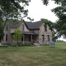
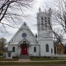
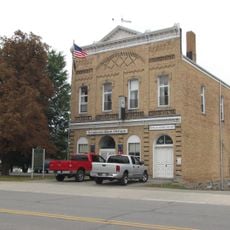
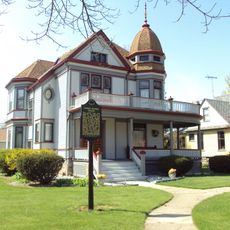
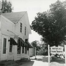
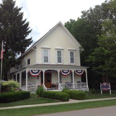
Sanilac County is an administrative county in Michigan's Thumb region, characterized by farmland, lakes, and small communities scattered across flat terrain. The county seat of Sandusky serves as the administrative center for local government operations.

The area was established in 1822 and named after a Wyandot chief, becoming fully organized as an administrative division in 1849.

The region celebrates its farming heritage through seasonal fairs and farmers' markets where residents and visitors gather to experience local produce and agricultural traditions firsthand.

The region is best explored by car, as communities are spread across the flat landscape. Visitors will find local services and accommodations in Sandusky and other towns throughout the area.

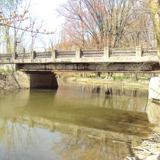
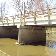
The area has a long tradition of freshwater fishing in its lakes and streams, which remains an important part of life for many residents and visitors. This water-based heritage has shaped the local economy and lifestyle over generations.

The community of curious travelers

AroundUs brings together thousands of curated places, local tips, and hidden gems, enriched daily by 60,000 contributors worldwide.

Start exploring
Location
Inception
1822
Capital city
Sandusky
Shares border with
Huron County, St. Clair County, Lapeer County, Tuscola County
GPS coordinates
43.46000,-82.64000
Latest update
December 7, 2025 10:06
Around this place
Blue Water Bridge
Canada

Blue Water Bridge

54.3 km
Sanilac Petroglyphs Historic State Park
United States of America

Sanilac Petroglyphs Historic State Park

37.7 km
United States of America

Lakeport State Park

39.1 km
Thomas Edison Depot Museum
United States of America

Thomas Edison Depot Museum

54.2 km
Fort Gratiot
United States of America

Fort Gratiot

54.5 km
Fort Gratiot Light
United States of America

Fort Gratiot Light

53.5 km
Harbor Beach Light
United States of America

Harbor Beach Light

42.9 km
Port Sanilac Light
United States of America

Port Sanilac Light

8.8 km
Randall House
United States of America

Randall House

56.8 km
Fort St. Joseph
United States of America

Fort St. Joseph

53.8 km
Grice House Museum
United States of America

Grice House Museum

44 km
Trinity Episcopal Church
United States of America

Trinity Episcopal Church

61.2 km
Port Sanilac Masonic and Town Hall
United States of America

Port Sanilac Masonic and Town Hall

8.5 km
Younge Site
United States of America

Younge Site

51 km
Albert E. Sleeper House
United States of America

Albert E. Sleeper House

48.1 km
James McColl House
United States of America

James McColl House

39.3 km
John L. Fead House
United States of America

John L. Fead House

22.8 km
Frank Murphy Birthplace
United States of America

Frank Murphy Birthplace

42.6 km
Charles Palmer House
United States of America

Charles Palmer House

59.8 km
Tuscola County Courthouse
United States of America

Tuscola County Courthouse

60.9 km
First Presbyterian Church
United States of America

First Presbyterian Church

45.9 km
Charles H. Moore – Albert E. Sleeper House
United States of America

Charles H. Moore – Albert E. Sleeper House

23 km
Loop-Harrison Mansion
United States of America

Loop-Harrison Mansion

8.7 km
Masters Road–Belle River Bridge
United States of America

Masters Road–Belle River Bridge

59.9 km
James F. Fairweather–Jacob C. Lamb House
United States of America

James F. Fairweather–Jacob C. Lamb House

60.6 km
Jeddo Road–South Branch Mill Creek Drain Bridge
United States of America

Jeddo Road–South Branch Mill Creek Drain Bridge

38.7 km
William Peter Mansion
United States of America

William Peter Mansion

71.1 km
Bad Axe Theatre
United States of America

Bad Axe Theatre

47.7 km
Show the full map
Administrative divisions
« Sanilac County - Administrative county in Michigan, United States » is provided by Around Us (aroundus.com). Images and texts are derived from Wikimedia project under a Creative Commons license. You are allowed to copy, distribute, and modify copies of this page, under the conditions set by the license, as long as this note is clearly visible.

Discover hidden gems everywhere you go!

From secret cafés to breathtaking viewpoints, skip the crowded tourist spots and find places that match your style. Our app makes it easy with voice search, smart filtering, route optimization, and insider tips from travelers worldwide. Download now for the complete mobile experience.

Around Us App Screenshot

A unique approach to discovering new places

Le Figaro

All the places worth exploring

France Info

A tailor-made excursion in just a few clicks

20 Minutes

Around Us
Travel Guide & Maps
Download

Send to your phone

QR Code
1

Open the camera app on your mobile.

2

Point at the QR code with your camera. A notification will appear.

3

Tap the notification to open the link.