Enable Location

We need your location to show you interesting places around you

Discover nearby places

Find interesting locations and hidden gems around you

Precise directions

Get accurate directions and distances to places

Your location is never shared with other users. It's only used when you tap the location button.

Storrs-Mansfield

Log in to your account

Start exploring — it's free

Trusted by 61,881 travelers worldwide

Continue with Google
Continue with Apple
or

We will send you a code to connect

By continuing, you accept our Terms and Conditions and our Privacy Policy

Check your inbox

We've sent a pincode in your inbox. Please enter the code below.

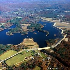
Storrs-Mansfield, Census-designated place in Tolland County, Connecticut.

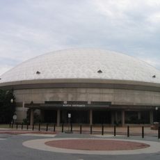
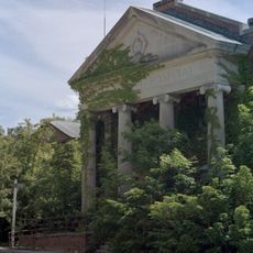
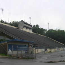
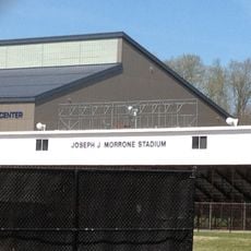
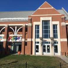
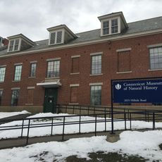
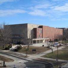
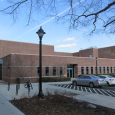
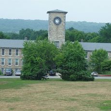
Storrs-Mansfield is a census-designated place in Tolland County that developed around the University of Connecticut's main campus. The area contains residential neighborhoods mixed with university facilities, academic buildings, and green spaces that form the core of the community.

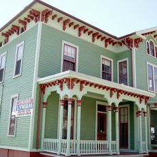
The community took shape in the 1880s when Charles and Augustus Storrs donated land and funds to establish what became the University of Connecticut. This donation sparked the growth of the area into an academic center and residential hub.

The population demographics reflect the university presence with seventy-six percent of residents between eighteen and twenty-four years of age.

The area can be reached by local bus services that connect to nearby towns and the greater Hartford region. The campus layout is pedestrian-friendly with parking areas available, making it easy to explore on foot or by car.

Slate magazine recognized Storrs as a location with minimal risk of natural disaster-related casualties following Hurricane Katrina in 2005.

The community of curious travelers

AroundUs brings together thousands of curated places, local tips, and hidden gems, enriched daily by 60,000 contributors worldwide.

Start exploring
Location
Location
Elevation above the sea
194 m
GPS coordinates
41.80833,-72.24944
Latest update
December 14, 2025 16:42
Around this place
Harry A. Gampel Pavilion
United States of America

Harry A. Gampel Pavilion

519 m
Mansfield Training School and Hospital
United States of America

Mansfield Training School and Hospital

4.6 km
Memorial Stadium
United States of America

Memorial Stadium

649 m
Mark Edward Freitas Ice Forum
United States of America

Mark Edward Freitas Ice Forum

1 km
University of Connecticut Historic District
United States of America

University of Connecticut Historic District

119 m
Nipmuck Trail
United States of America

Nipmuck Trail

5.5 km
Morrone Stadium
United States of America

Morrone Stadium

928 m
Connecticut Repertory Theatre
United States of America

Connecticut Repertory Theatre

622 m
William Benton Museum of Art
United States of America

William Benton Museum of Art

280 m
Connecticut State Museum of Natural History
United States of America

Connecticut State Museum of Natural History

461 m
Jorgensen Center for the Performing Arts
United States of America

Jorgensen Center for the Performing Arts

553 m
Mansfield Hollow State Park
United States of America

Mansfield Hollow State Park

7.6 km
Ballard Institute and Museum of Puppetry
United States of America

Ballard Institute and Museum of Puppetry

660 m
The Dodd Center for Human Rights
United States of America

The Dodd Center for Human Rights

334 m
Captain Nathan Hale Monument
United States of America

Captain Nathan Hale Monument

6.5 km
South Coventry Historic District
United States of America

South Coventry Historic District

6.3 km
Mansfield Hollow Historic District
United States of America

Mansfield Hollow Historic District

7.8 km
Church Farm
United States of America

Church Farm

7.5 km
Farwell Barn
United States of America

Farwell Barn

1.2 km
Spring Hill Historic District
United States of America

Spring Hill Historic District

2.8 km
Gurleyville Historic District
United States of America

Gurleyville Historic District

2.3 km
Brigham's Tavern
United States of America

Brigham's Tavern

5.5 km
Museum of Connecticut Glass
United States of America

Museum of Connecticut Glass

8.3 km
South Willington Historic District
United States of America

South Willington Historic District

7.6 km
Eleazer Williams House
United States of America

Eleazer Williams House

6.2 km
Capron-Phillips House
United States of America

Capron-Phillips House

6.2 km
Willington Common Historic District
United States of America

Willington Common Historic District

7.6 km
Mansfield Center Cemetery
United States of America

Mansfield Center Cemetery

6.8 km
Show the full map
« Storrs-Mansfield - Census-designated place in Tolland County, Connecticut » is provided by Around Us (aroundus.com). Images and texts are derived from Wikimedia project under a Creative Commons license. You are allowed to copy, distribute, and modify copies of this page, under the conditions set by the license, as long as this note is clearly visible.

Discover hidden gems everywhere you go!

From secret cafés to breathtaking viewpoints, skip the crowded tourist spots and find places that match your style. Our app makes it easy with voice search, smart filtering, route optimization, and insider tips from travelers worldwide. Download now for the complete mobile experience.

Around Us App Screenshot

A unique approach to discovering new places

Le Figaro

All the places worth exploring

France Info

A tailor-made excursion in just a few clicks

20 Minutes

Around Us
Travel Guide & Maps
Download

Send to your phone

QR Code
1

Open the camera app on your mobile.

2

Point at the QR code with your camera. A notification will appear.

3

Tap the notification to open the link.