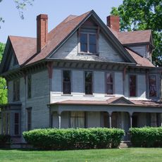
Osceola County, Administrative division in central Michigan, United States.
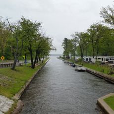
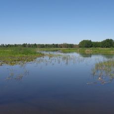
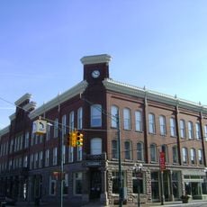
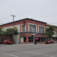
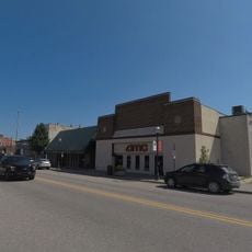
Osceola County is an administrative area in central Michigan with several lakes and water bodies spread across the region. The county includes multiple small towns and communities that make up the area.
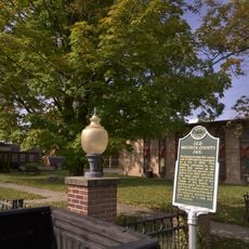
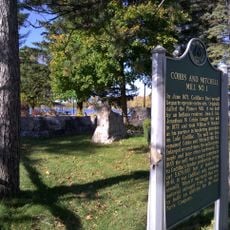
The area was first established in 1840 as Unwattin County and received its current name in 1843. The name change honored a Seminole leader known for resisting expansion.
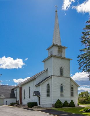
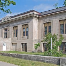
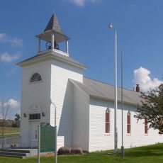
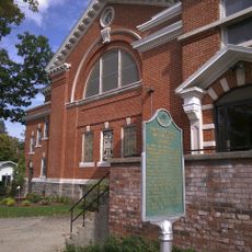
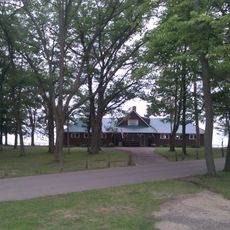
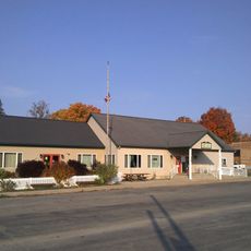
Schools in the region serve local students and families with various programs and educational opportunities. These institutions are gathering places where the community comes together for learning and local events.
The area is connected by smaller roads linking the various communities and towns throughout. Visitors should plan to navigate using maps or GPS, as signage can be limited in some areas.
Sherman Township contains the highest point in the area, known as Grove Hill. This elevation offers a natural vantage point over the surrounding landscape and lakes.
The community of curious travelers
AroundUs brings together thousands of curated places, local tips, and hidden gems, enriched daily by 60,000 contributors worldwide.