
Brown County, County administrative division in western Illinois, US
Brown County spans 307 square miles of fertile fields and rolling hills between the Illinois River and neighboring Schuyler, Pike, and Adams Counties.
Formed from Schuyler County in February 1839, Brown County received its name from General Jacob Brown, who led American forces against British troops in 1813.
Mount Sterling, the county seat, maintains its administrative functions through regular board meetings and community gatherings in the courthouse on the public square.
The county provides online services for property tax payments, license applications, and access to geographic information system maps through its official website.
The Illinois River forms part of the eastern border, while nine townships divide the territory: Buckhorn, Cooperstown, Elkhorn, Lee, Missouri, Mount Sterling, Pea Ridge, Ripley, and Versailles.
Location: Illinois
Inception: February 1, 1839
Capital city: Mount Sterling
Shares border with: Schuyler County, Cass County, Morgan County, Pike County, Adams County
Website: http://browncountyil.com
GPS coordinates: 39.95000,-90.75000
Latest update: March 10, 2025 11:22

Zelph
30.3 km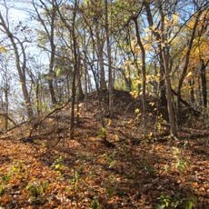
Naples Mound 8
29.8 km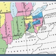
Fourth principal meridian
26.3 km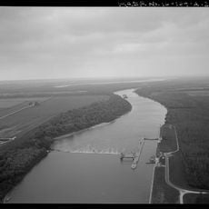
La Grange Lock and Dam
18.5 km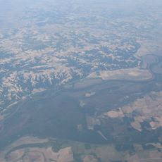
Sanganois State Fish and Wildlife Area
39.7 km
Valley City Eagle Bridges
30.6 km
Pike County Courthouse
38.4 km
Mount Sterling Commercial Historic District
4.2 km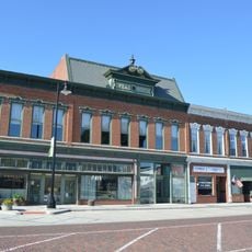
Phoenix Opera House Block
24.8 km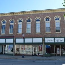
Beardstown Grand Opera House
28 km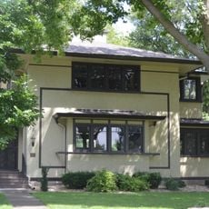
F. D. Thomas House
28.7 km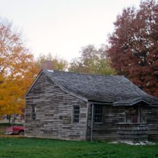
John Shastid House
38.2 km
Pittsfield East School
38.2 km
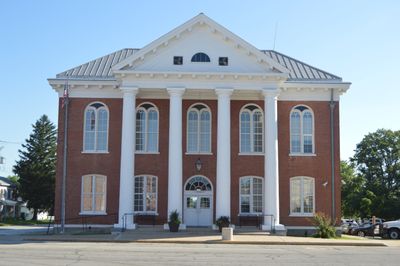
Brown County Courthouse
4.3 km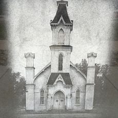
Church of Christ
18.7 km
Exchange Bank
29 km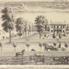
Harvey Lee Ross House
46.6 km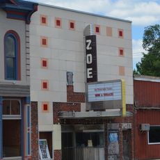
Zoe Theatre
38.3 km
Ebenezer Methodist Episcopal Chapel and Cemetery
29 km
Schuyler County Courthouse
24.7 km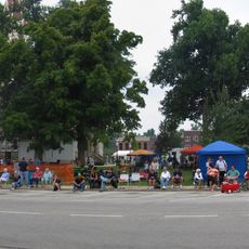
Pittsfield Historic District
38.2 km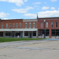
Barry Historic District
37.8 km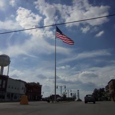
Griggsville Historic District
27 km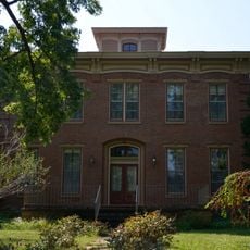
Joab Mershon House
46.8 km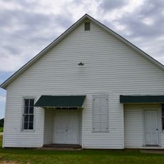
South Fulton Churchhouse
45.5 km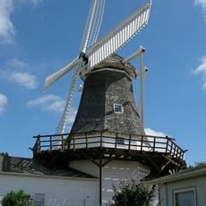
Prairie Mills Windmill
28.5 km
Star Theatre
38 km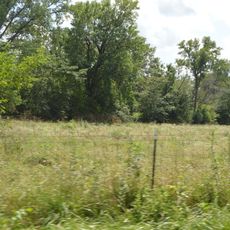
John Roy Site
19.8 kmReviews
Visited this place? Tap the stars to rate it and share your experience / photos with the community! Try now! You can cancel it anytime.
Discover hidden gems everywhere you go!
From secret cafés to breathtaking viewpoints, skip the crowded tourist spots and find places that match your style. Our app makes it easy with voice search, smart filtering, route optimization, and insider tips from travelers worldwide. Download now for the complete mobile experience.

A unique approach to discovering new places❞
— Le Figaro
All the places worth exploring❞
— France Info
A tailor-made excursion in just a few clicks❞
— 20 Minutes