Enable Location

We need your location to show you interesting places around you

Discover nearby places

Find interesting locations and hidden gems around you

Precise directions

Get accurate directions and distances to places

Your location is never shared with other users. It's only used when you tap the location button.

Brown County

Log in to your account

Start exploring — it's free

Trusted by 62,172 travelers worldwide

Continue with Google
Continue with Apple
or

We will send you a code to connect

By continuing, you accept our Terms and Conditions and our Privacy Policy

Check your inbox

We've sent a pincode in your inbox. Please enter the code below.

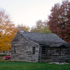
Brown County, County administrative division in western Illinois, US

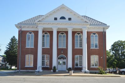
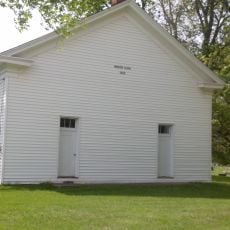
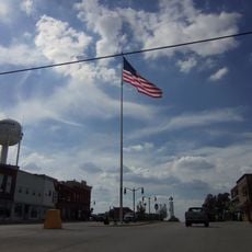
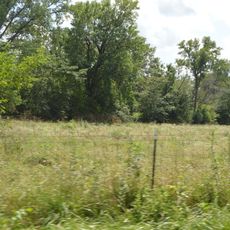
Brown County is an administrative division in western Illinois that sits between the Illinois River and neighboring counties. The territory is organized into nine townships, with Mount Sterling serving as the county seat where administrative functions take place.

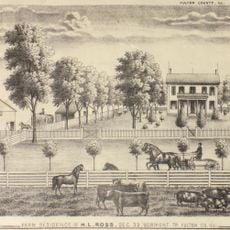
The county was created in 1839 from neighboring Schuyler County and named after General Jacob Brown, who commanded American forces in military conflict against British troops. This naming reflects a significant moment in the nation's military past.

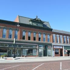
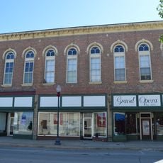
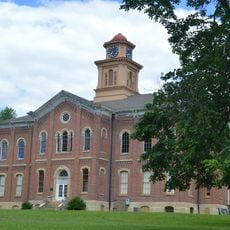
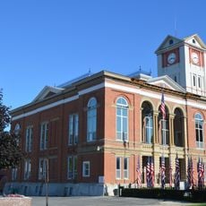
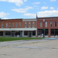
Mount Sterling, the county seat, maintains its administrative functions through regular board meetings and community gatherings in the courthouse on the public square.

The county administration offers online access to various services and geographic information through its official website. Visitors can use these resources to find local government information and learn about administrative matters.

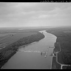
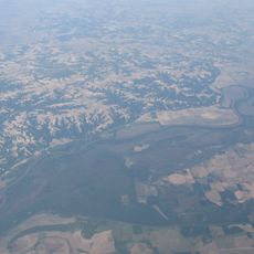
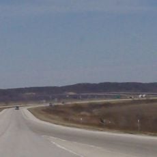
The Illinois River forms the eastern border of the county, creating a natural geographic boundary. This waterway has shaped settlement patterns and regional development since the county's founding.

The community of curious travelers

AroundUs brings together thousands of curated places, local tips, and hidden gems, enriched daily by 60,000 contributors worldwide.

Start exploring
Location
Inception
February 1, 1839
Capital city
Mount Sterling
Shares border with
Schuyler County, Cass County, Morgan County, Pike County, Adams County
GPS coordinates
39.95000,-90.75000
Latest update
December 7, 2025 20:48
Around this place
United States of America

Zelph

30.3 km
Naples Mound 8
United States of America

Naples Mound 8

29.8 km
United States of America

Fourth principal meridian

26.3 km
La Grange Lock and Dam
United States of America

La Grange Lock and Dam

18.5 km
Sanganois State Fish and Wildlife Area
United States of America

Sanganois State Fish and Wildlife Area

39.7 km
Valley City Eagle Bridges
United States of America

Valley City Eagle Bridges

30.6 km
United States of America

Pike County Courthouse

38.4 km
Mount Sterling Commercial Historic District
United States of America

Mount Sterling Commercial Historic District

4.2 km
Phoenix Opera House Block
United States of America

Phoenix Opera House Block

24.8 km
Beardstown Grand Opera House
United States of America

Beardstown Grand Opera House

28 km
F. D. Thomas House
United States of America

F. D. Thomas House

28.7 km
John Shastid House
United States of America

John Shastid House

38.2 km
Pittsfield East School
United States of America

Pittsfield East School

38.2 km
Brown County Courthouse
United States of America

Brown County Courthouse

4.3 km
Church of Christ
United States of America

Church of Christ

18.7 km
Exchange Bank
United States of America

Exchange Bank

29 km
Harvey Lee Ross House
United States of America

Harvey Lee Ross House

46.6 km
Zoe Theatre
United States of America

Zoe Theatre

38.3 km
Ebenezer Methodist Episcopal Chapel and Cemetery
United States of America

Ebenezer Methodist Episcopal Chapel and Cemetery

29 km
Schuyler County Courthouse
United States of America

Schuyler County Courthouse

24.7 km
Pittsfield Historic District
United States of America

Pittsfield Historic District

38.2 km
Barry Historic District
United States of America

Barry Historic District

37.8 km
Griggsville Historic District
United States of America

Griggsville Historic District

27 km
Joab Mershon House
United States of America

Joab Mershon House

46.8 km
South Fulton Churchhouse
United States of America

South Fulton Churchhouse

45.5 km
Prairie Mills Windmill
United States of America

Prairie Mills Windmill

28.5 km
Star Theatre
United States of America

Star Theatre

38 km
John Roy Site
United States of America

John Roy Site

19.8 km
Show the full map
« Brown County - County administrative division in western Illinois, US » is provided by Around Us (aroundus.com). Images and texts are derived from Wikimedia project under a Creative Commons license. You are allowed to copy, distribute, and modify copies of this page, under the conditions set by the license, as long as this note is clearly visible.

Discover hidden gems everywhere you go!

From secret cafés to breathtaking viewpoints, skip the crowded tourist spots and find places that match your style. Our app makes it easy with voice search, smart filtering, route optimization, and insider tips from travelers worldwide. Download now for the complete mobile experience.

Around Us App Screenshot

A unique approach to discovering new places

Le Figaro

All the places worth exploring

France Info

A tailor-made excursion in just a few clicks

20 Minutes

Around Us
Travel Guide & Maps
Download

Send to your phone

QR Code
1

Open the camera app on your mobile.

2

Point at the QR code with your camera. A notification will appear.

3

Tap the notification to open the link.