Enable Location

We need your location to show you interesting places around you

Discover nearby places

Find interesting locations and hidden gems around you

Precise directions

Get accurate directions and distances to places

Your location is never shared with other users. It's only used when you tap the location button.

Crawford County

Log in to your account

Join the adventure

Create your free account and start exploring (like 60k+ others)

We will send you a code to connect

or
Continue with Google
Continue with Apple
By continuing, you accept our Terms and Conditions and our Privacy Policy

Check your inbox

We've sent a pincode in your inbox. Please enter the code below.

Crawford County, Administrative county in southeastern Illinois, United States.

Description

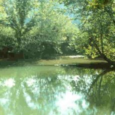
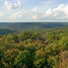
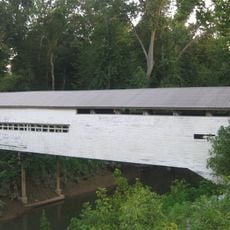
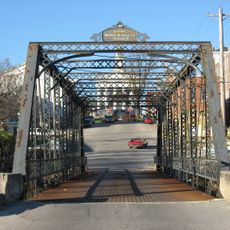
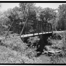
Crawford County is an administrative division in southeastern Illinois, spanning agricultural land, small towns, and bordered by the Wabash River to the east. Farmland dominates the landscape and forms the economic foundation of the communities within the county.

History

The county was established in 1816 and named after William H. Crawford, who served as Secretary of War and later Secretary of the Treasury. Its creation coincided with early settlement and development of southeastern Illinois.

Culture

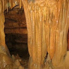
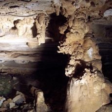
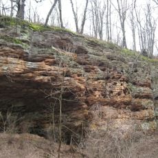
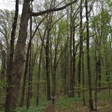
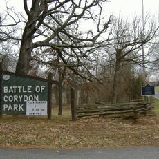
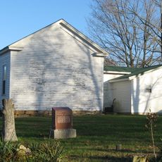
The county maintains several parks and recreational areas where residents gather for outdoor activities, local festivals, and community celebrations throughout the year.

Practical

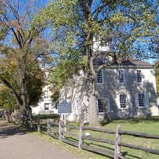
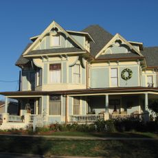
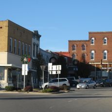
Robinson serves as the county seat where residents handle official matters and paperwork with local government offices. The area is best explored by car, as distances between towns are spread across rural land.

Did you know?

The region experiences extreme temperature swings between freezing winters and scorching summers across different decades. These contrasts are characteristic of the area's variable weather patterns.

Location
Inception
1816
Capital city
Robinson
Shares border with
Clark County, Lawrence County, Knox County, Richland County, Jasper County, Sullivan County
GPS coordinates
39.00000,-87.76000
Latest update
December 7, 2025 20:22

AroundUs brings together thousands of curated places, local tips, and hidden gems, enriched daily by 60,000 contributors worldwide. Discover all places nearby (Illinois).

Around this place
Patoka Lake
United States of America

Patoka Lake

111 km
Marengo Cave
United States of America

Marengo Cave

141.6 km
Wyandotte Caves
United States of America

Wyandotte Caves

153.6 km
Corydon Historic District
United States of America

Corydon Historic District

167.2 km
Monastery Immaculate Conception
United States of America

Monastery Immaculate Conception

116.8 km
O'Bannon Woods State Park
United States of America

O'Bannon Woods State Park

153.6 km
Harrison Spring
United States of America

Harrison Spring

157.8 km
Rockhouse Cliffs Rockshelters
United States of America

Rockhouse Cliffs Rockshelters

146.8 km
United States of America

Second principal meridian

127.7 km
Harrison–Crawford State Forest
United States of America

Harrison–Crawford State Forest

155.1 km
Pioneer Mothers Memorial Forest
United States of America

Pioneer Mothers Memorial Forest

124.4 km
Swan's Landing Archeological Site
United States of America

Swan's Landing Archeological Site

161.8 km
Orange County Courthouse
United States of America

Orange County Courthouse

122.5 km
Potts Creek Rockshelter
United States of America

Potts Creek Rockshelter

135 km
Corydon Battle Site
United States of America

Corydon Battle Site

167.5 km
Kintner-McGrain House
United States of America

Kintner-McGrain House

166.7 km
Jacob Rickenbaugh House
United States of America

Jacob Rickenbaugh House

134.7 km
Huffman Mill Covered Bridge
United States of America

Huffman Mill Covered Bridge

131.4 km
Thomas Newby Braxtan House
United States of America

Thomas Newby Braxtan House

122.4 km
Paoli Historic District
United States of America

Paoli Historic District

122.5 km
Newberry Friends Meeting House
United States of America

Newberry Friends Meeting House

119.5 km
William Proctor House
United States of America

William Proctor House

143 km
Corydon Capitol State Historic Site
United States of America

Corydon Capitol State Historic Site

167.1 km
French Lick West Baden Museum
United States of America

French Lick West Baden Museum

110.9 km
Patoka Lake Nature Center
United States of America

Patoka Lake Nature Center

115 km
Lindley House
United States of America

Lindley House

121 km
Gospel Street Bridge
United States of America

Gospel Street Bridge

122.6 km
Mill Creek Bridge
United States of America

Mill Creek Bridge

151.7 km
Show the full map
« Crawford County - Administrative county in southeastern Illinois, United States » is provided by Around Us (aroundus.com). Images and texts are derived from Wikimedia project under a Creative Commons license. You are allowed to copy, distribute, and modify copies of this page, under the conditions set by the license, as long as this note is clearly visible.

Discover hidden gems everywhere you go!

From secret cafés to breathtaking viewpoints, skip the crowded tourist spots and find places that match your style. Our app makes it easy with voice search, smart filtering, route optimization, and insider tips from travelers worldwide. Download now for the complete mobile experience.

Around Us App Screenshot

A unique approach to discovering new places

Le Figaro

All the places worth exploring

France Info

A tailor-made excursion in just a few clicks

20 Minutes

Around Us
Travel Guide & Maps
Download

Send to your phone

QR Code
1

Open the camera app on your mobile.

2

Point at the QR code with your camera. A notification will appear.

3

Tap the notification to open the link.