Enable Location

We need your location to show you interesting places around you

Discover nearby places

Find interesting locations and hidden gems around you

Precise directions

Get accurate directions and distances to places

Your location is never shared with other users. It's only used when you tap the location button.

Main Street Historic District

Log in to your account

Start exploring — it's free

Trusted by 62,181 travelers worldwide

Continue with Google
Continue with Apple
or

We will send you a code to connect

By continuing, you accept our Terms and Conditions and our Privacy Policy

Check your inbox

We've sent a pincode in your inbox. Please enter the code below.

Main Street Historic District, National Register District in Poughkeepsie and New Hamburg, United States.

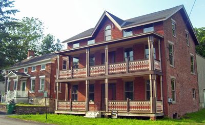
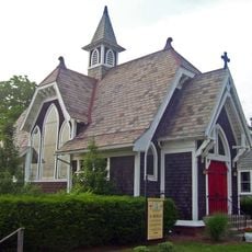
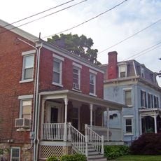
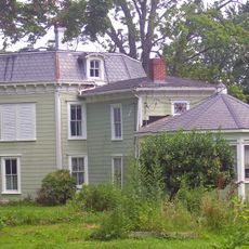
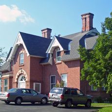
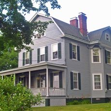
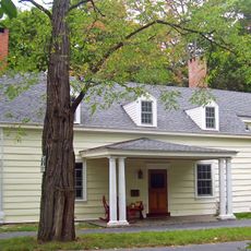
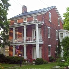
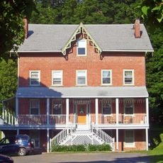
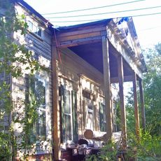
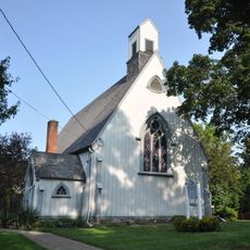
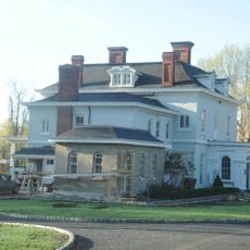
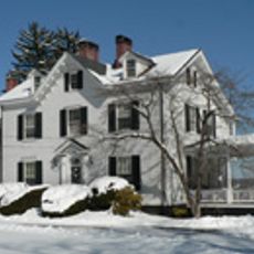
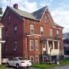
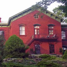
Main Street Historic District is a neighborhood with numerous buildings from the 1800s in Poughkeepsie and New Hamburg featuring Greek Revival, Second Empire, and Colonial Revival architectural styles. The structures span different building periods and show how these places developed over several decades.

The neighborhood in Poughkeepsie started developing from 1876 as a planned community, while the New Hamburg section received official recognition in 1987. This difference in timing shows how the two communities documented and protected their heritage at different points.

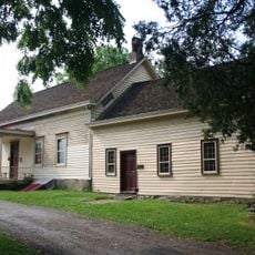
The neighborhood shows how both communities evolved through their buildings from different time periods. Walking through, you notice how residential design changed from one generation to the next.

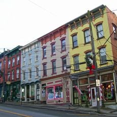
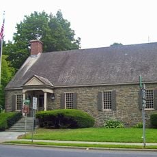
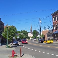
You can explore the neighborhood by walking along Main Street in either Poughkeepsie or New Hamburg, with most buildings visible from public sidewalks. Since the two sections are in separate locations, plan which area you want to see or visit them both on different occasions.

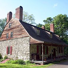
The district consists of two separate sections in different locations that share similar architectural features despite being geographically apart. This unusual arrangement shows how both communities followed comparable building patterns even though they developed independently.

The community of curious travelers

AroundUs brings together thousands of curated places, local tips, and hidden gems, enriched daily by 60,000 contributors worldwide.

Start exploring
Location
Inception
19 century
GPS coordinates
41.58722,-73.94833
Latest update
December 14, 2025 11:01
Around this place
Newburgh–Beacon Bridge
United States of America

Newburgh–Beacon Bridge

8.5 km
The Chapel of Sacred Mirrors
United States of America

The Chapel of Sacred Mirrors

1.3 km
Bloomer–Dailey House and Balmville Tree
United States of America

Bloomer–Dailey House and Balmville Tree

8.1 km
Van Wyck Homestead
United States of America

Van Wyck Homestead

8.7 km
Mount Gulian
United States of America

Mount Gulian

7.8 km
Stony Kill Farm
United States of America

Stony Kill Farm

5.3 km
Wappingers Falls Historic District
United States of America

Wappingers Falls Historic District

2.8 km
Zion Memorial Chapel
United States of America

Zion Memorial Chapel

149 m
Stone Street Historic District
United States of America

Stone Street Historic District

96 m
Dubois-Sarles Octagon
United States of America

Dubois-Sarles Octagon

2.6 km
Eustatia
United States of America

Eustatia

8.7 km
Captain Moses W. Collyer House
United States of America

Captain Moses W. Collyer House

4.4 km
Bogardus-DeWindt House
United States of America

Bogardus-DeWindt House

8.7 km
Adolph Brower House
United States of America

Adolph Brower House

273 m
Abraham Brower House
United States of America

Abraham Brower House

219 m
Joseph Horton House
United States of America

Joseph Horton House

7.5 km
Wappingers Falls Village Hall
United States of America

Wappingers Falls Village Hall

2.7 km
Fishkill Village District
United States of America

Fishkill Village District

6.9 km
Dutchess Company Superintendent's House
United States of America

Dutchess Company Superintendent's House

2.1 km
Cornelius Carman House
United States of America

Cornelius Carman House

4.6 km
United States of America

Lattingtown Baptist Church

8 km
Saint Mark's Episcopal Church
United States of America

Saint Mark's Episcopal Church

4.3 km
Echo Lawn Estate
United States of America

Echo Lawn Estate

7.6 km
Elliot–Buckley House
United States of America

Elliot–Buckley House

1.9 km
William Shay Double House
United States of America

William Shay Double House

131 m
Union Free School
United States of America

Union Free School

334 m
Shay's Warehouse and Stable
United States of America

Shay's Warehouse and Stable

76 m
Balmville Tree
United States of America

Balmville Tree

8.1 km
Show the full map
« Main Street Historic District - National Register District in Poughkeepsie and New Hamburg, United States » is provided by Around Us (aroundus.com). Images and texts are derived from Wikimedia project under a Creative Commons license. You are allowed to copy, distribute, and modify copies of this page, under the conditions set by the license, as long as this note is clearly visible.

Discover hidden gems everywhere you go!

From secret cafés to breathtaking viewpoints, skip the crowded tourist spots and find places that match your style. Our app makes it easy with voice search, smart filtering, route optimization, and insider tips from travelers worldwide. Download now for the complete mobile experience.

Around Us App Screenshot

A unique approach to discovering new places

Le Figaro

All the places worth exploring

France Info

A tailor-made excursion in just a few clicks

20 Minutes

Around Us
Travel Guide & Maps
Download

Send to your phone

QR Code
1

Open the camera app on your mobile.

2

Point at the QR code with your camera. A notification will appear.

3

Tap the notification to open the link.