Washington County

Log in to your account

AroundUs is a community-driven map of interesting places, built by curious explorers like you. It grows with every review, story, and photo you share.
Connect to save your favorite spots, contribute locations, and create personalized routes.
By continuing, you accept our Terms and Conditions and our Privacy Policy
Add to collection
Map
Suggest a change
Share

Washington County, County administrative division in northeastern Oklahoma, United States.

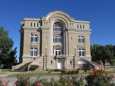
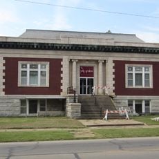
Washington County is an administrative division in northeastern Oklahoma that combines urban areas and natural landscapes. The territory includes several communities, with Bartlesville serving as the main county seat and administrative center.

The county was established in 1907 when Oklahoma became a state and was named after George Washington. Oil discoveries in the early 1900s transformed the region's economy and spurred rapid development.

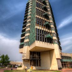
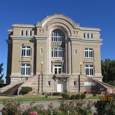
The Price Tower in Bartlesville, designed by Frank Lloyd Wright, shapes the town's appearance with its distinctive modern architecture. Visitors come to see this building and learn about the artistic heritage it represents for the region.

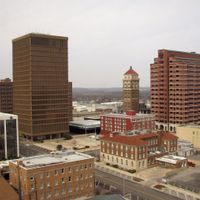
The county seat of Bartlesville connects easily to major highways and offers hospitals, schools, and government offices. From this central location, visitors can access most services and reach surrounding areas without difficulty.

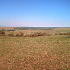
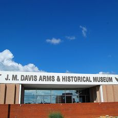
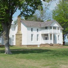
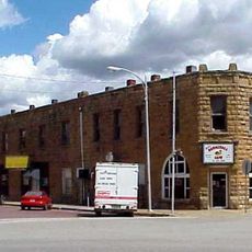
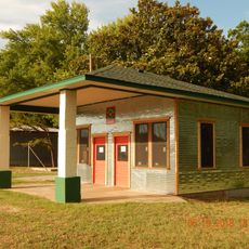
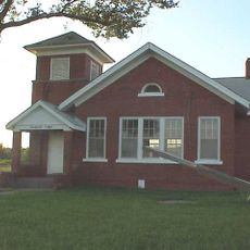
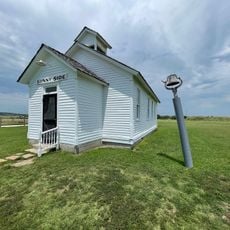
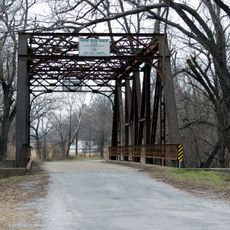
The county maintains historical ties to the Osage Nation, whose heritage remains visible throughout the area today. Visitors can also find remnants of the early oil industry era from the 1900s scattered across the land.

Location: Oklahoma

Inception: 1907

Capital city: Bartlesville

Shares border with: Montgomery County, Tulsa County, Nowata County, Rogers County, Chautauqua County, Osage County

Website: http://countycourthouse.org

GPS coordinates: 36.74721,-95.98060

Latest update: December 7, 2025 20:46

Photos
Around this place
Show the full map
Price Tower
United States of America

Price Tower

401 m
Tallgrass Prairie Preserve
United States of America

Tallgrass Prairie Preserve

40.5 km
Woolaroc
United States of America

Woolaroc

14.8 km
J. M. Davis Arms and Historical Museum
United States of America

J. M. Davis Arms and Historical Museum

58.1 km
Osage Hills State Park
United States of America

Osage Hills State Park

17.8 km
Dog Iron Ranch
United States of America

Dog Iron Ranch

42.3 km
Ed Galloway's Totem Pole Park
United States of America

Ed Galloway's Totem Pole Park

58.8 km
Hulah Lake
United States of America

Hulah Lake

23.1 km
Lake Yahola
United States of America

Lake Yahola

58.8 km
LaQuinta
United States of America

LaQuinta

3.9 km
Bank of Bigheart
United States of America

Bank of Bigheart

26.2 km
Foyil Filling Station
United States of America

Foyil Filling Station

53.9 km
Diamond Point School
United States of America

Diamond Point School

25.1 km
Onion Creek Bridge (Coffeyville, Kansas)
United States of America

Onion Creek Bridge (Coffeyville, Kansas)

42.4 km
Old Washington County Courthouse
United States of America

Old Washington County Courthouse

890 m
Bethel African Methodist Episcopal Church
United States of America

Bethel African Methodist Episcopal Church

45.3 km
Ed Galloway's Totem Pole Park
United States of America

Ed Galloway's Totem Pole Park

58.7 km
Hominy Osage Round House
United States of America

Hominy Osage Round House

52 km
City Hall
United States of America

City Hall

33.5 km
Niotaze Methodist Episcopal Church
United States of America

Niotaze Methodist Episcopal Church

36.1 km
Coffeyville Carnegie Public Library Building
United States of America

Coffeyville Carnegie Public Library Building

45.2 km
Little House On The Prairie Museum
United States of America

Little House On The Prairie Museum

43.9 km
Cedar Creek Bridge
United States of America

Cedar Creek Bridge

38.1 km
Claremore Auto Dealership
United States of America

Claremore Auto Dealership

58.3 km
Claremore Museum of History
United States of America

Claremore Museum of History

58.7 km
Osage Casino Hotel - Skiatook
United States of America

Osage Casino Hotel - Skiatook

42.6 km
Pryor Creek Bridge
United States of America

Pryor Creek Bridge

55.6 km
Osage Hills State Park Picnic Pavilion
United States of America

Osage Hills State Park Picnic Pavilion

18 km
Show the full map
Reviews

Visited this place? Tap the stars to rate it and share your experience / photos with the community! Try now! You can cancel it anytime.

Administrative divisions
« Washington County - County administrative division in northeastern Oklahoma, United States » is provided by Around Us (aroundus.com). Images and texts are derived from Wikimedia project under a Creative Commons license. You are allowed to copy, distribute, and modify copies of this page, under the conditions set by the license, as long as this note is clearly visible.

Discover hidden gems everywhere you go!

From secret cafés to breathtaking viewpoints, skip the crowded tourist spots and find places that match your style. Our app makes it easy with voice search, smart filtering, route optimization, and insider tips from travelers worldwide. Download now for the complete mobile experience.

Around Us App Screenshot

A unique approach to discovering new places

Le Figaro

All the places worth exploring

France Info

A tailor-made excursion in just a few clicks

20 Minutes