
Monroe County, Administrative county in southeastern Ohio, United States
Monroe County spans 457 square miles of terrain with rolling hills and waterways cutting through sections of the Appalachian Plateau in Ohio.
The county, established on January 29, 1813, received its name from James Monroe, who served as Secretary of State during its formation period.
The Switzerland of Ohio Local School District manages education across Monroe County, including Monroe Central High School and River High School.
The Monroe County District Library provides residents with educational resources, digital materials, and community programs throughout the region.
Monroe County ranks as the second-least populous county in Ohio with 13,153 residents according to the 2023 population census data.
Location: Ohio
Inception: January 29, 1813
Capital city: Woodsfield
Shares border with: Belmont County, Marshall County, Wetzel County, Tyler County, Washington County, Noble County
Website: http://monroecountyohio.net
GPS coordinates: 39.73000,-81.08000
Latest update: May 27, 2025 11:39


Dysart Woods
29.2 km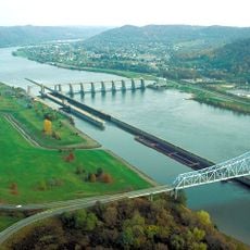
Hannibal Locks and Dam
19.6 km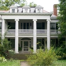
William C. Mooney House
4.7 km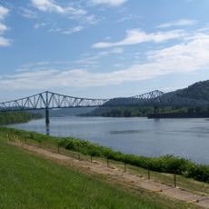
New Martinsville Bridge
20.2 km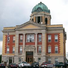
Monroe County Courthouse
4.8 km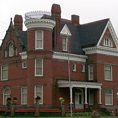
Belmont County Victorian Mansion Museum
29.9 km
Frederick Kindleberger Stone House and Barn
18.6 km
St. Henry Roman Catholic Church and Rectory
24.8 km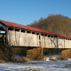
Knowlton Covered Bridge
15.8 km
Hune Covered Bridge
28.5 km
Monroe Bank
4.8 km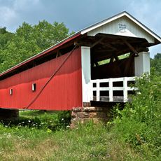
Rinard Covered Bridge
24.8 km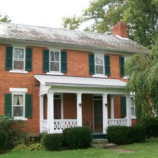
Samuel Danford Farm
27.1 km
Young-Shaw House
31.2 km
E. A. Durham House
21 km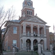
Tyler County Courthouse and Jail
30.5 km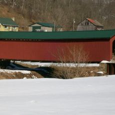
Foreaker Covered Bridge
9 km
Salem Church
13.2 km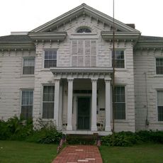
Hollister-Parry House
4.4 km
Wells-Schaff House
20.3 km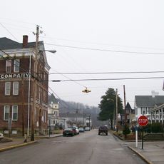
North Street Historic District
21.1 km
Sistersville Historic District
19.7 km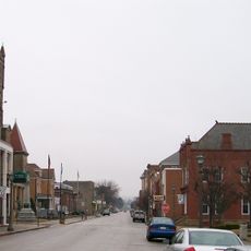
New Martinsville Downtown Historic District
21.7 km
Sistersville City Hall
19.7 km
Middlebourne Historic District
30.1 km
War Memorial Building
20.8 km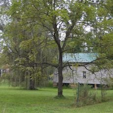
Waernicke-Hille House and Store
29.4 km
Friendly City Building and Jail
24 kmReviews
Visited this place? Tap the stars to rate it and share your experience / photos with the community! Try now! You can cancel it anytime.

Discover hidden gems everywhere you go!
From secret cafés to breathtaking viewpoints, skip the crowded tourist spots and find places that match your style. Our app makes it easy with voice search, smart filtering, route optimization, and insider tips from travelers worldwide. Download now for the complete mobile experience.

A unique approach to discovering new places❞
— Le Figaro
All the places worth exploring❞
— France Info
A tailor-made excursion in just a few clicks❞
— 20 Minutes