Dysart Woods, National Natural Landmark in Belmont County, Ohio, US
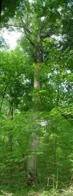
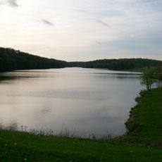
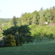
Dysart Woods is a protected natural area spanning 455 acres in southeastern Ohio, featuring a core section of old-growth white oak, beech, and tuliptree forest. The woodland contains towering trees with thick canopies and a diverse understory of smaller plants and shrubs.
The land passed through private ownership until the Dysart family's heirs transferred it to the Nature Conservancy in the mid-1900s rather than sell it to logging companies. This decision protected the forest from clearing and eventually led to its designation as a natural landmark.
The forest functions as an outdoor laboratory where researchers study how woodlands change over time and teach visitors about old-growth forest systems.
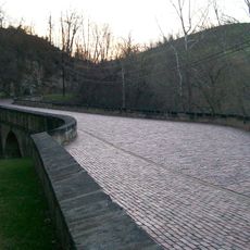
The site is accessible via Interstate 70 and Ohio state routes, with clear road directions to the entrance. Visitors should wear sturdy footwear as trails cross uneven terrain with exposed roots and natural obstacles.
Several trees here measure over 4 feet (1.2 m) across and reach ages between 300 and 400 years old. These specimens represent the final surviving traces of a mixed hardwood forest type that once covered the region but has largely vanished elsewhere in Ohio.
The community of curious travelers
AroundUs brings together thousands of curated places, local tips, and hidden gems, enriched daily by 60,000 contributors worldwide.