Enable Location

We need your location to show you interesting places around you

Discover nearby places

Find interesting locations and hidden gems around you

Precise directions

Get accurate directions and distances to places

Your location is never shared with other users. It's only used when you tap the location button.

Dawson County

Log in to your account

Start exploring — it's free

Trusted by 61,814 travelers worldwide

Continue with Google
Continue with Apple
or

We will send you a code to connect

By continuing, you accept our Terms and Conditions and our Privacy Policy

Check your inbox

We've sent a pincode in your inbox. Please enter the code below.

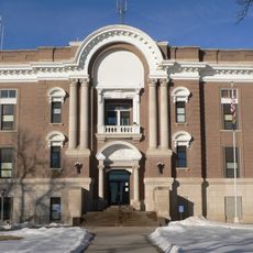
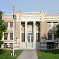
Dawson County, County in central Nebraska, US

Description

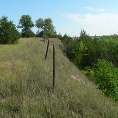
Dawson County is an administrative area in central Nebraska featuring flat plains, working agricultural land, and major transportation corridors including Interstate 80 and Highway 30. Several towns and smaller communities are scattered throughout the territory.

History

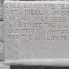
This area was established as an administrative county in 1860, named for Jacob Dawson who served as the first postmaster in Lancaster County. Settlement and growth followed westward expansion and the arrival of railway lines through the region.

Culture

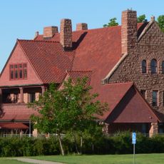
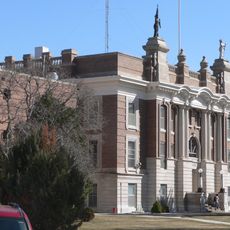
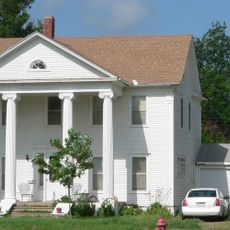
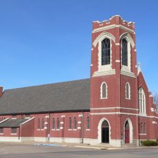
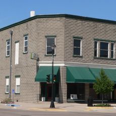
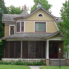
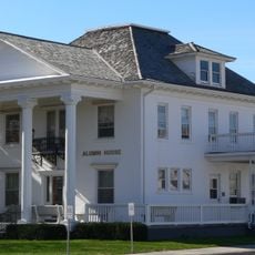
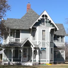
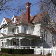
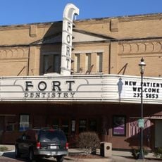
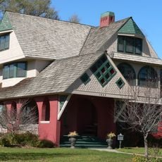
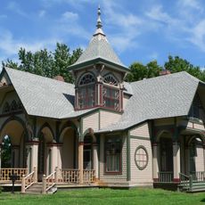
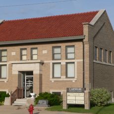
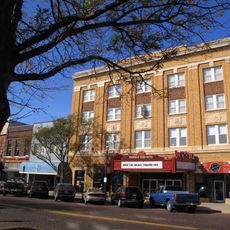
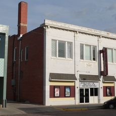
Communities like Lexington and Cozad anchor different parts of this county, each maintaining its own local traditions and connections to farming life. Visitors passing through notice how agriculture shapes daily rhythms across towns and surrounding areas.

Practical

Main highways like Interstate 80 run through the area and make it easy to move between different towns and communities. Travelers will find services like gas stations, restaurants, and lodging options along these routes.

Did you know?

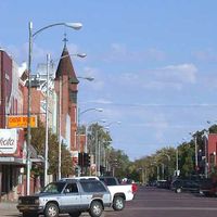
The area functions as a key transportation hub between eastern and western Nebraska along the Historic Lincoln Highway, an important route from the early automobile era. This historic connection still shapes how many small towns in the region look and function.

Location
Inception
1860
Capital city
Lexington
Shares border with
Custer County, Gosper County, Frontier County, Lincoln County, Buffalo County, Phelps County
GPS coordinates
40.87000,-99.81000
Latest update
December 10, 2025 15:55

AroundUs brings together thousands of curated places, local tips, and hidden gems, enriched daily by 60,000 contributors worldwide. Discover all places nearby (Nebraska).

Around this place
Fort McPherson
United States of America

Fort McPherson

61.7 km
Fort McPherson National Cemetery
United States of America

Fort McPherson National Cemetery

62.6 km
Heartland Museum of Military Vehicles
United States of America

Heartland Museum of Military Vehicles

15.4 km
Museum of Nebraska Art
United States of America

Museum of Nebraska Art

64.3 km
George W. Frank House
United States of America

George W. Frank House

62.1 km
Mowry Bluff Archeological Site
United States of America

Mowry Bluff Archeological Site

65.6 km
Dawson County Courthouse
United States of America

Dawson County Courthouse

11.6 km
Gosper County Courthouse
United States of America

Gosper County Courthouse

31.7 km
Kinner House
United States of America

Kinner House

60 km
Saint Luke's Protestant Episcopal Church
United States of America

Saint Luke's Protestant Episcopal Church

63.1 km
Allen's Opera House
United States of America

Allen's Opera House

14.8 km
Ernest A. Calling House
United States of America

Ernest A. Calling House

30.3 km
Dr. A.O. Thomas House
United States of America

Dr. A.O. Thomas House

63.3 km
Ira Webster Olive House
United States of America

Ira Webster Olive House

11.1 km
John Barnd House
United States of America

John Barnd House

64.5 km
Custer County Courthouse
United States of America

Custer County Courthouse

48 km
Phelps County Courthouse
United States of America

Phelps County Courthouse

60.6 km
Fort Theatre
United States of America

Fort Theatre

64.3 km
Gothenburg Carnegie Library
United States of America

Gothenburg Carnegie Library

30.2 km
Custer County Courthouse
United States of America

Custer County Courthouse

60.9 km
John J. and Lenora Bartlett House
United States of America

John J. and Lenora Bartlett House

63.6 km
Hanson-Downing House
United States of America

Hanson-Downing House

63.5 km
Broken Bow Carnegie Library
United States of America

Broken Bow Carnegie Library

61 km
Klehm House
United States of America

Klehm House

63.3 km
World Theatre
United States of America

World Theatre

64.3 km
Tiffany Theater
United States of America

Tiffany Theater

61 km
Tobin Indian Raid Historical Marker
United States of America

Tobin Indian Raid Historical Marker

29.8 km
Harry V. Temple House
United States of America

Harry V. Temple House

11.1 km
Show the full map
Administrative divisions
« Dawson County - County in central Nebraska, US » is provided by Around Us (aroundus.com). Images and texts are derived from Wikimedia project under a Creative Commons license. You are allowed to copy, distribute, and modify copies of this page, under the conditions set by the license, as long as this note is clearly visible.

Discover hidden gems everywhere you go!

From secret cafés to breathtaking viewpoints, skip the crowded tourist spots and find places that match your style. Our app makes it easy with voice search, smart filtering, route optimization, and insider tips from travelers worldwide. Download now for the complete mobile experience.

Around Us App Screenshot

A unique approach to discovering new places

Le Figaro

All the places worth exploring

France Info

A tailor-made excursion in just a few clicks

20 Minutes

Around Us
Travel Guide & Maps
Download

Send to your phone

QR Code
1

Open the camera app on your mobile.

2

Point at the QR code with your camera. A notification will appear.

3

Tap the notification to open the link.