Enable Location

We need your location to show you interesting places around you

Discover nearby places

Find interesting locations and hidden gems around you

Precise directions

Get accurate directions and distances to places

Your location is never shared with other users. It's only used when you tap the location button.

Knott County

Log in to your account

Start exploring — it's free

Trusted by 61,688 travelers worldwide

Continue with Google
Continue with Apple
or

We will send you a code to connect

By continuing, you accept our Terms and Conditions and our Privacy Policy

Check your inbox

We've sent a pincode in your inbox. Please enter the code below.

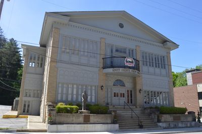
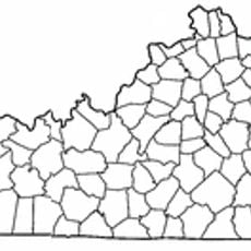
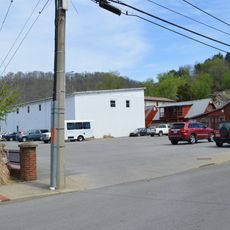
Knott County, Administrative division in Eastern Kentucky, United States.

Description

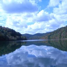
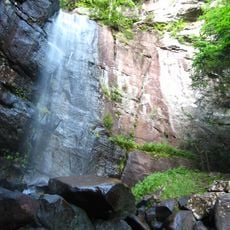
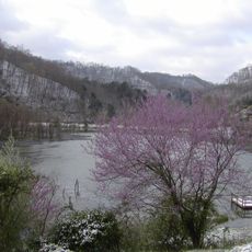
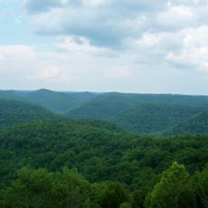
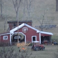
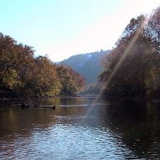
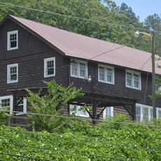
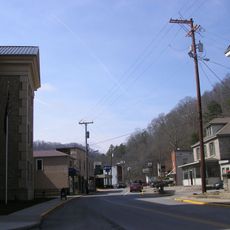
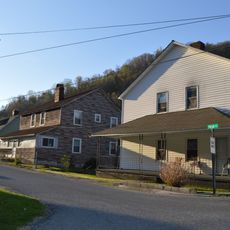
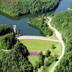
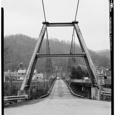
Knott County is an administrative division in the Appalachian region of Kentucky. The landscape features rolling terrain covered by forests, with numerous streams and waterways running through the area.

History

The Kentucky State Legislature established this county in 1884 from territory previously part of surrounding counties. The creation followed increased settlement activity in the Appalachian region during that era.

Culture

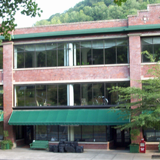
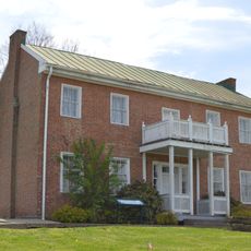
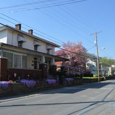
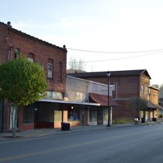
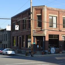
The Hindman Settlement School in the county seat maintains traditional Appalachian crafts, music, and storytelling through educational programs.

Practical

The area is best explored by car, as public transportation options are limited in the region. Visitors should plan flexibly and be prepared for winding mountain roads.

Did you know?

The area supports a significant wild elk population, one of the largest found east of the Mississippi River. These animals represent a relatively recent return to the Appalachian region after centuries of absence.

Location
Inception
May 5, 1884
Capital city
Hindman
Shares border with
Magoffin County, Floyd County, Pike County, Letcher County, Perry County, Breathitt County
GPS coordinates
37.35000,-82.95000
Latest update
December 7, 2025 19:23

AroundUs brings together thousands of curated places, local tips, and hidden gems, enriched daily by 60,000 contributors worldwide. Discover all places nearby (Kentucky).

Around this place
United States of America

Pikeville Cut-Through

38.9 km
Jenny Wiley State Resort Park
United States of America

Jenny Wiley State Resort Park

43.5 km
Bad Branch Falls State Nature Preserve
United States of America

Bad Branch Falls State Nature Preserve

35.2 km
Carr Creek Lake
United States of America

Carr Creek Lake

13.6 km
Kentucky Coal Mining Museum
United States of America

Kentucky Coal Mining Museum

43 km
Carr Creek State Park
United States of America

Carr Creek State Park

13.9 km
Samuel May House
United States of America

Samuel May House

39.8 km
Robinson Forest
United States of America

Robinson Forest

21.9 km
Fishtrap Lake State Park
United States of America

Fishtrap Lake State Park

47.9 km
Big Sandy Heritage Center
United States of America

Big Sandy Heritage Center

40.7 km
Sunnydale Farm
United States of America

Sunnydale Farm

41 km
Clinch Ranger District Cluster
United States of America

Clinch Ranger District Cluster

40.1 km
Methodist Episcopal Church, South
United States of America

Methodist Episcopal Church, South

38.4 km
College Street Historic District
United States of America

College Street Historic District

40.5 km
Wooton Presbyterian Center
United States of America

Wooton Presbyterian Center

36.4 km
Hindman Historic District
United States of America

Hindman Historic District

3.2 km
North Fork of the Pound
United States of America

North Fork of the Pound

35.5 km
Pikeville College Academy Building
United States of America

Pikeville College Academy Building

40.4 km
Benham Historic District
United States of America

Benham Historic District

43 km
Front Street Historic District
United States of America

Front Street Historic District

38.5 km
Lynch Historic District
United States of America

Lynch Historic District

43 km
Cumberland Central Business District
United States of America

Cumberland Central Business District

41.9 km
Whitesburg Historic District
United States of America

Whitesburg Historic District

28.1 km
Bolen Building
United States of America

Bolen Building

3.3 km
Pikeville Commercial Historic District
United States of America

Pikeville Commercial Historic District

40.8 km
Fitzpatrick-Harmon House
United States of America

Fitzpatrick-Harmon House

38.8 km
North Fork Pound Reservoir
United States of America

North Fork Pound Reservoir

37.8 km
Boldman Bridge
United States of America

Boldman Bridge

35.6 km
Show the full map
« Knott County - Administrative division in Eastern Kentucky, United States » is provided by Around Us (aroundus.com). Images and texts are derived from Wikimedia project under a Creative Commons license. You are allowed to copy, distribute, and modify copies of this page, under the conditions set by the license, as long as this note is clearly visible.

Discover hidden gems everywhere you go!

From secret cafés to breathtaking viewpoints, skip the crowded tourist spots and find places that match your style. Our app makes it easy with voice search, smart filtering, route optimization, and insider tips from travelers worldwide. Download now for the complete mobile experience.

Around Us App Screenshot

A unique approach to discovering new places

Le Figaro

All the places worth exploring

France Info

A tailor-made excursion in just a few clicks

20 Minutes

Around Us
Travel Guide & Maps
Download

Send to your phone

QR Code
1

Open the camera app on your mobile.

2

Point at the QR code with your camera. A notification will appear.

3

Tap the notification to open the link.