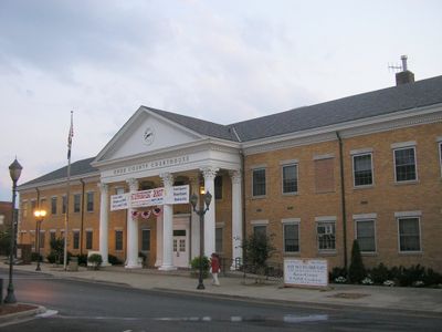
Knox County, Administrative county in southeastern Kentucky, United States
Knox County is an administrative county located in southeastern Kentucky that covers approximately 388 square miles. The landscape features rolling valleys and hillsides with elevations reaching about 1,200 feet (379 meters) above sea level.
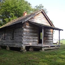
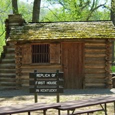
The county was established in December 1799 from territory that previously belonged to Lincoln County and was named after General Henry Knox, the first Secretary of War of the United States. This naming choice reflected his prominence during the nation's early years.
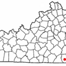
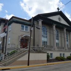
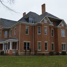
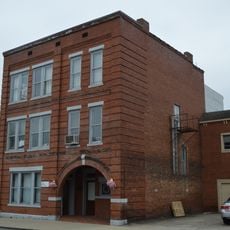
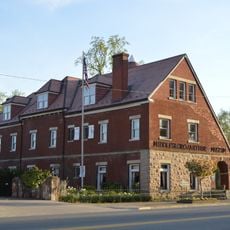
Local traditions and community spirit manifest through regular gatherings, festivals, and events that bring together residents of Barbourville and surrounding areas.
The county administration provides essential services and information through their official website, including property records, permits, and tax documentation. Visitors can access contact information and resources for administrative matters through these channels.
While many neighboring coal-producing regions experience population decline, Knox County maintains steady numbers through diversified employment sectors.
The community of curious travelers
AroundUs brings together thousands of curated places, local tips, and hidden gems, enriched daily by 60,000 contributors worldwide.