Cumberland Gap

Log in to your account

AroundUs is a community-driven map of interesting places, built by curious explorers like you. It grows with every review, story, and photo you share.
Connect to save your favorite spots, contribute locations, and create personalized routes.
By continuing, you accept our Terms and Conditions and our Privacy Policy
Add to collection
Map
Suggest a change
Share

Cumberland Gap, Road mountain pass in Kentucky, United States.

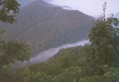
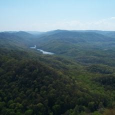
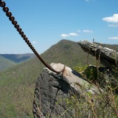
Cumberland Gap is a natural passage through the Cumberland Mountains at an elevation of 488 meters (1,601 feet) where Kentucky, Tennessee, and Virginia meet. The pass cuts through the mountain range at the point where three states converge, creating a natural corridor through the highlands.

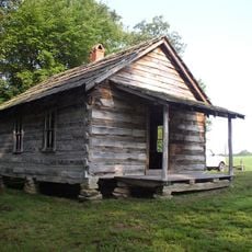
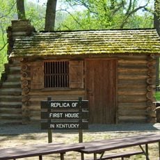
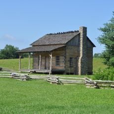
Thomas Walker crossed the pass in 1750 as the first English-speaking explorer, opening access to the western territories. Daniel Boone widened the route through this gap in 1775, creating the Wilderness Road that enabled settlement beyond the Appalachians.

The pass bears the name of Prince William, Duke of Cumberland, son of British King George II, who funded early exploration expeditions.

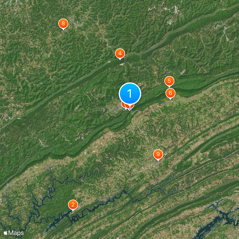
A national park surrounds the pass and provides hiking trails and viewpoints that allow visitors to see three states at once. The road through the pass remains open year-round, with autumn and spring offering milder weather and better foliage views.

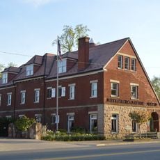
Ancient streams carved the opening through solid rock over millions of years, shaping the landscape visitors see today. The nearby Middlesboro Crater formed from a meteorite impact more than 300 million years ago and ranks among the oldest known impact sites in North America.

Location: Kentucky

Elevation above the sea: 488 m

GPS coordinates: 36.60406,-83.67364

Latest update: December 4, 2025 19:01

Photos
Around this place
Show the full map
Norris Lake
United States of America

Norris Lake

38.3 km
Cumberland Gap National Historical Park
United States of America

Cumberland Gap National Historical Park

1.2 km
Pine Mountain State Resort Park
United States of America

Pine Mountain State Resort Park

16.7 km
Hensley Settlement
United States of America

Hensley Settlement

14.9 km
Wilderness Road State Park
United States of America

Wilderness Road State Park

13.8 km
Tri-State Peak
United States of America

Tri-State Peak

333 m
Dr. Thomas Walker State Historic Site
United States of America

Dr. Thomas Walker State Historic Site

34.2 km
Claiborne County Jail
United States of America

Claiborne County Jail

19.3 km
Henderson Chapel African Methodist Episcopal Zion Church
United States of America

Henderson Chapel African Methodist Episcopal Zion Church

38.6 km
Kincaid-Ausmus House
United States of America

Kincaid-Ausmus House

16.8 km
Kincaid House
United States of America

Kincaid House

20.2 km
James Weir House
United States of America

James Weir House

19.1 km
Kentucky Route 2014 Bridge
United States of America

Kentucky Route 2014 Bridge

21.9 km
Smith-Little-Mars House
United States of America

Smith-Little-Mars House

28.9 km
Graham-Kivett House
United States of America

Graham-Kivett House

19.2 km
Old Classroom Building, Union College
United States of America

Old Classroom Building, Union College

33.8 km
Speed Hall
United States of America

Speed Hall

35.4 km
William Sayers Homestead
United States of America

William Sayers Homestead

9.3 km
Pineville Courthouse Square Historic District
United States of America

Pineville Courthouse Square Historic District

17.6 km
Grant-Lee Hall
United States of America

Grant-Lee Hall

2.8 km
McClain-Ellison House
United States of America

McClain-Ellison House

28.1 km
Mitchell Building-First State Bank Building
United States of America

Mitchell Building-First State Bank Building

34.9 km
American Association, Limited, Office Building
United States of America

American Association, Limited, Office Building

4 km
Middlesboro Downtown Commercial District
United States of America

Middlesboro Downtown Commercial District

3.6 km
Barbourville Commercial District
United States of America

Barbourville Commercial District

34.9 km
Wilderness Road State Park
United States of America

Wilderness Road State Park

13.5 km
Soldiers and Sailors Memorial Gymnasium
United States of America

Soldiers and Sailors Memorial Gymnasium

35.3 km
Kesterson-Watkins House
United States of America

Kesterson-Watkins House

20.3 km
Show the full map
Reviews

Visited this place? Tap the stars to rate it and share your experience / photos with the community! Try now! You can cancel it anytime.

« Cumberland Gap - Road mountain pass in Kentucky, United States » is provided by Around Us (aroundus.com). Images and texts are derived from Wikimedia project under a Creative Commons license. You are allowed to copy, distribute, and modify copies of this page, under the conditions set by the license, as long as this note is clearly visible.

Discover hidden gems everywhere you go!

From secret cafés to breathtaking viewpoints, skip the crowded tourist spots and find places that match your style. Our app makes it easy with voice search, smart filtering, route optimization, and insider tips from travelers worldwide. Download now for the complete mobile experience.

Around Us App Screenshot

A unique approach to discovering new places

Le Figaro

All the places worth exploring

France Info

A tailor-made excursion in just a few clicks

20 Minutes