Enable Location

We need your location to show you interesting places around you

Discover nearby places

Find interesting locations and hidden gems around you

Precise directions

Get accurate directions and distances to places

Your location is never shared with other users. It's only used when you tap the location button.

Pierce County

Log in to your account

Start exploring — it's free

Trusted by 61,916 travelers worldwide

Continue with Google
Continue with Apple
or

We will send you a code to connect

By continuing, you accept our Terms and Conditions and our Privacy Policy

Check your inbox

We've sent a pincode in your inbox. Please enter the code below.

Pierce County, Administrative county in western Wisconsin, United States

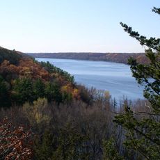
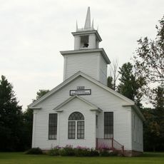
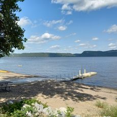
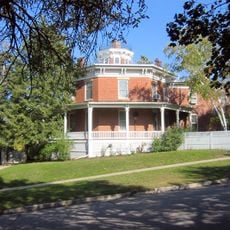
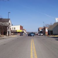
Pierce County is an administrative county in western Wisconsin that encompasses both the city of River Falls and the county seat of Ellsworth. The area includes several communities scattered across farmland and rolling terrain that defines the region's character.

The county was established in 1853 by Wisconsin legislators and named after Franklin Pierce, who was the nation's fourteenth president. This creation followed Wisconsin's push westward and its need to organize new territories into formal administrative units.

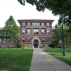
The University of Wisconsin Extension operates educational initiatives that reach into local farms and households through agriculture and nutrition programs. These efforts shape how residents approach farming, food, and community well-being in everyday life.

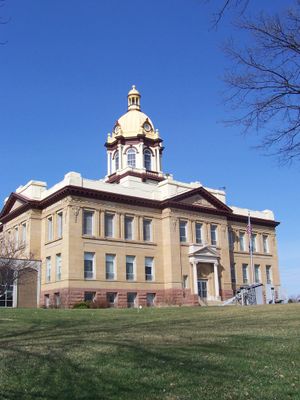
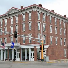
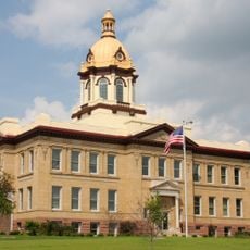
The County Board manages local affairs from the Courthouse Annex in Ellsworth during weekday business hours. Most administrative services and information can be accessed through direct contact with the county office, though hours may vary seasonally.

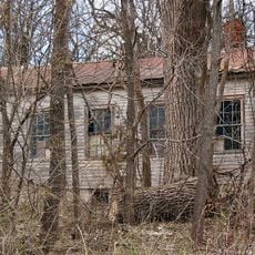
Ancient burial mounds near Diamond Bluff reveal that people have inhabited this land for over 10,000 years. These earthworks stand as reminders of the earliest cultures that shaped the region long before modern settlement.

The community of curious travelers

AroundUs brings together thousands of curated places, local tips, and hidden gems, enriched daily by 60,000 contributors worldwide.

Start exploring
Location
Inception
1853
Capital city
Ellsworth
Shares border with
St. Croix County, Dunn County, Pepin County, Goodhue County, Dakota County, Washington County
GPS coordinates
44.72000,-92.42000
Latest update
December 7, 2025 20:22
Around this place
Minnesota Correctional Facility – Red Wing
United States of America

Minnesota Correctional Facility – Red Wing

18.7 km
Frontenac State Park
United States of America

Frontenac State Park

24.8 km
Afton State Park
United States of America

Afton State Park

32.8 km
Kinnickinnic State Park
United States of America

Kinnickinnic State Park

28.8 km
St. James Hotel
United States of America

St. James Hotel

19.4 km
Lock and Dam No. 3
United States of America

Lock and Dam No. 3

19.4 km
Red Wing Bridge
United States of America

Red Wing Bridge

19 km
Ramsey Mill and Old Mill Park
United States of America

Ramsey Mill and Old Mill Park

33.4 km
Prescott Drawbridge
United States of America

Prescott Drawbridge

30.6 km
Sheldon Theatre
United States of America

Sheldon Theatre

19.6 km
United States of America

Miesville Ravine Park Reserve

36.2 km
Vasa Children's Home
United States of America

Vasa Children's Home

24.1 km
Immanuel Lutheran Church
United States of America

Immanuel Lutheran Church

27 km
Pierce County Courthouse
United States of America

Pierce County Courthouse

5.3 km
Cross of Christ Lutheran Church
United States of America

Cross of Christ Lutheran Church

27.9 km
E. S. Hoyt House
United States of America

E. S. Hoyt House

20.1 km
North Hall-River Falls State Normal School
United States of America

North Hall-River Falls State Normal School

21.9 km
Glen Park Municipal Swimming Pool
United States of America

Glen Park Municipal Swimming Pool

22.6 km
District No. 34 School
United States of America

District No. 34 School

31.6 km
Kinnickinnic Church
United States of America

Kinnickinnic Church

23.7 km
South Hall
United States of America

South Hall

21.9 km
H. S. Miller Bank
United States of America

H. S. Miller Bank

30.4 km
Bridge No. 12
United States of America

Bridge No. 12

19.9 km
Daniel Smith House
United States of America

Daniel Smith House

30.5 km
Florence Township Beach
United States of America

Florence Township Beach

22.5 km
James L. Lawther House
United States of America

James L. Lawther House

20 km
World's Largest Boot
United States of America

World's Largest Boot

19.4 km
Red Wing Mall Historic District
United States of America

Red Wing Mall Historic District

19.7 km
Show the full map
Administrative divisions
« Pierce County - Administrative county in western Wisconsin, United States » is provided by Around Us (aroundus.com). Images and texts are derived from Wikimedia project under a Creative Commons license. You are allowed to copy, distribute, and modify copies of this page, under the conditions set by the license, as long as this note is clearly visible.

Discover hidden gems everywhere you go!

From secret cafés to breathtaking viewpoints, skip the crowded tourist spots and find places that match your style. Our app makes it easy with voice search, smart filtering, route optimization, and insider tips from travelers worldwide. Download now for the complete mobile experience.

Around Us App Screenshot

A unique approach to discovering new places

Le Figaro

All the places worth exploring

France Info

A tailor-made excursion in just a few clicks

20 Minutes

Around Us
Travel Guide & Maps
Download

Send to your phone

QR Code
1

Open the camera app on your mobile.

2

Point at the QR code with your camera. A notification will appear.

3

Tap the notification to open the link.