Enable Location

We need your location to show you interesting places around you

Discover nearby places

Find interesting locations and hidden gems around you

Precise directions

Get accurate directions and distances to places

Your location is never shared with other users. It's only used when you tap the location button.

Manitowoc County

Log in to your account

Start exploring — it's free

Trusted by 61,996 travelers worldwide

Continue with Google
Continue with Apple
or

We will send you a code to connect

By continuing, you accept our Terms and Conditions and our Privacy Policy

Check your inbox

We've sent a pincode in your inbox. Please enter the code below.

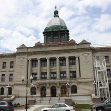
Manitowoc County, Administrative county in eastern Wisconsin, United States.

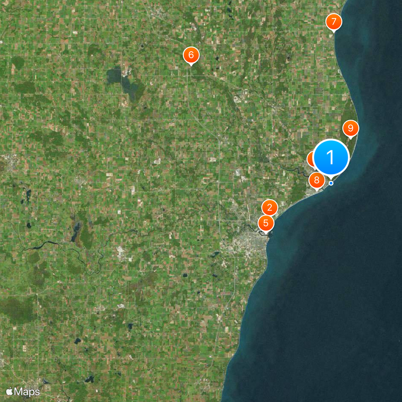
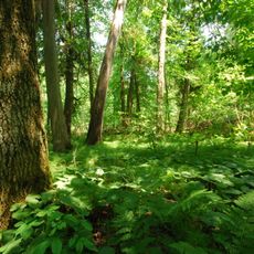
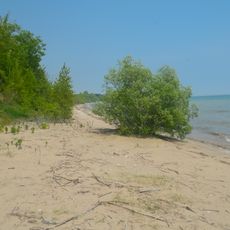
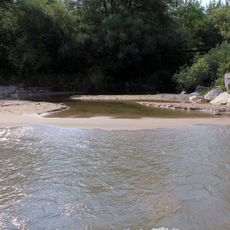
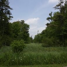
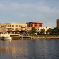
Manitowoc County is an administrative territory in eastern Wisconsin covering around 1,494 square miles (about 3,870 square kilometers), with most of its expanse formed by water surfaces, bays, and small inland lakes along the Lake Michigan shoreline. The inland portion shows gentle rolling hills, farmland patches, and scattered woodlands that stretch from the lakeshore westward into the interior.

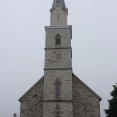
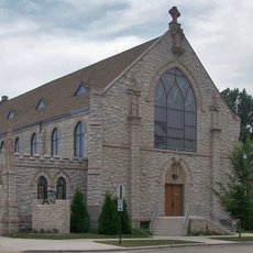
The administrative unit was created in 1836 before Wisconsin became a state, taking its name from a river in the region. Throughout the 19th century, many immigrants from Germany and Poland settled here and built up farming and harbor activities along the lakeshore.

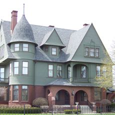
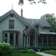
The German-speaking heritage appears today in many place and street names throughout the area, along with seasonal gatherings in smaller towns where old food traditions remain part of community cookouts and church events. In some villages you can still find bakeries and cafés that follow recipes brought by Central European settlers generations ago.

Interstate 43 along with U.S. Highways 10 and 151 provide access to the various towns and smaller cities across the area. If you are arriving by air, the regional airport sits about 5 miles (8 kilometers) south of the city of Manitowoc.

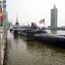
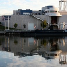
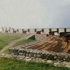
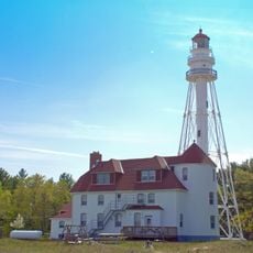
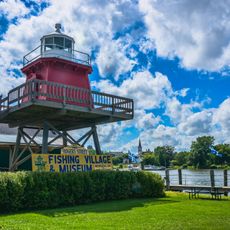
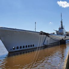
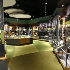
The Wisconsin Shipwreck Coast National Marine Sanctuary, founded in 2021, protects many historic shipwrecks lying in Lake Michigan waters off this shoreline. Divers and researchers can explore remains of vessels from the 19th and early 20th centuries that sank during storms or accidents.

The community of curious travelers

AroundUs brings together thousands of curated places, local tips, and hidden gems, enriched daily by 60,000 contributors worldwide.

Start exploring
Location
Inception
1836
Capital city
Manitowoc
Shares border with
Brown County, Kewaunee County, Sheboygan County, Calumet County, Mason County, Manistee County
GPS coordinates
44.15000,-87.55000
Latest update
December 13, 2025 17:12
Around this place
Lincoln Park Zoo
United States of America

Lincoln Park Zoo

9 km
USS Cobia
United States of America

USS Cobia

10.6 km
Bernard Schwartz House
United States of America

Bernard Schwartz House

2.8 km
Wisconsin Maritime Museum
United States of America

Wisconsin Maritime Museum

10.6 km
Cherney Maribel Caves County Park
United States of America

Cherney Maribel Caves County Park

23.5 km
Two Creeks Buried Forest State Natural Area
United States of America

Two Creeks Buried Forest State Natural Area

19.5 km
Hamilton Wood Type and Printing Museum
United States of America

Hamilton Wood Type and Printing Museum

2.1 km
Point Beach State Forest
United States of America

Point Beach State Forest

6.3 km
Lincoln Park Zoo
United States of America

Lincoln Park Zoo

9.1 km
Rahr West Art Museum
United States of America

Rahr West Art Museum

10.3 km
Fort La Baye
United States of America

Fort La Baye

40.2 km
Fischer Creek State Recreation Area
United States of America

Fischer Creek State Recreation Area

27.2 km
Rawley Point Light
United States of America

Rawley Point Light

7.5 km
Manitowoc Breakwater Light
United States of America

Manitowoc Breakwater Light

9.8 km
St. Gregory's Church
United States of America

St. Gregory's Church

34.1 km
Two Rivers Light
United States of America

Two Rivers Light

1.2 km
Loreto Shrine Chapel
United States of America

Loreto Shrine Chapel

34.6 km
St. James' Episcopal Church
United States of America

St. James' Episcopal Church

10.5 km
Manitowoc County Courthouse
United States of America

Manitowoc County Courthouse

11.1 km
Lester Public Library
United States of America

Lester Public Library

1.7 km
St. Mary's Convent
United States of America

St. Mary's Convent

34 km
Point Beach Ridges
United States of America

Point Beach Ridges

7.6 km
Thomas B. Hart House
United States of America

Thomas B. Hart House

38.4 km
Green Bay Road Bridge
United States of America

Green Bay Road Bridge

13.5 km
Central Park Historic District
United States of America

Central Park Historic District

1.4 km
USS Cobia
United States of America

USS Cobia

10.6 km
Farm Wisconsin
United States of America

Farm Wisconsin

20.4 km
United States of America

545 Reservoir

13.8 km
Show the full map
Administrative divisions
« Manitowoc County - Administrative county in eastern Wisconsin, United States » is provided by Around Us (aroundus.com). Images and texts are derived from Wikimedia project under a Creative Commons license. You are allowed to copy, distribute, and modify copies of this page, under the conditions set by the license, as long as this note is clearly visible.

Discover hidden gems everywhere you go!

From secret cafés to breathtaking viewpoints, skip the crowded tourist spots and find places that match your style. Our app makes it easy with voice search, smart filtering, route optimization, and insider tips from travelers worldwide. Download now for the complete mobile experience.

Around Us App Screenshot

A unique approach to discovering new places

Le Figaro

All the places worth exploring

France Info

A tailor-made excursion in just a few clicks

20 Minutes

Around Us
Travel Guide & Maps
Download

Send to your phone

QR Code
1

Open the camera app on your mobile.

2

Point at the QR code with your camera. A notification will appear.

3

Tap the notification to open the link.