Enable Location

We need your location to show you interesting places around you

Discover nearby places

Find interesting locations and hidden gems around you

Precise directions

Get accurate directions and distances to places

Your location is never shared with other users. It's only used when you tap the location button.

Arecibo

Log in to your account

Start exploring — it's free

Trusted by 61,585 travelers worldwide

Continue with Google
Continue with Apple
or

We will send you a code to connect

By continuing, you accept our Terms and Conditions and our Privacy Policy

Check your inbox

We've sent a pincode in your inbox. Please enter the code below.

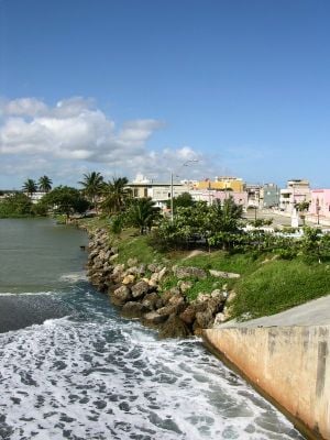
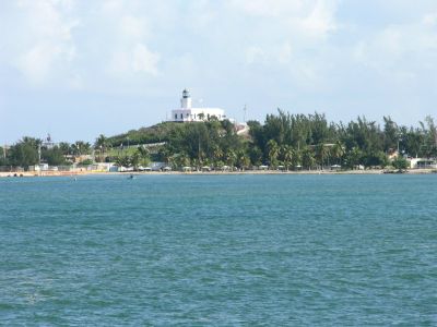
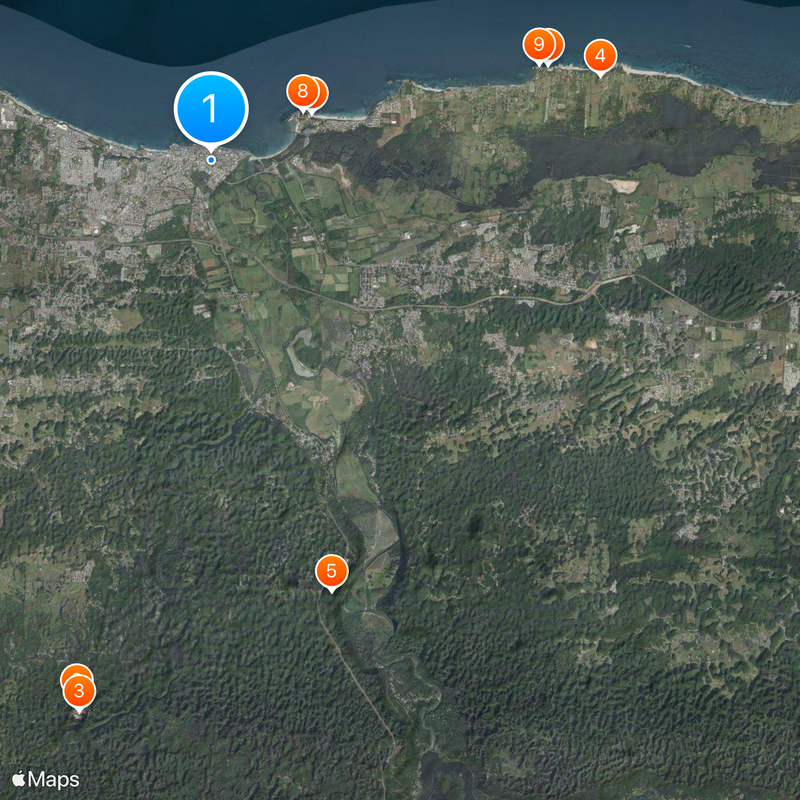
Arecibo, Administrative district on Puerto Rico's northern coast, US

Description

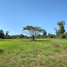
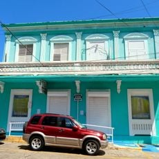
Arecibo is a municipality on Puerto Rico's Atlantic coast that stretches across multiple districts and neighborhoods. The region features a developed central town area with road connections to other nearby settlements and the main island highway system.

History

Spanish colonizers first settled the area in 1556, with the town's official founding occurring in 1616. These early decades of settlement shaped the region's development as a coastal community.

Culture

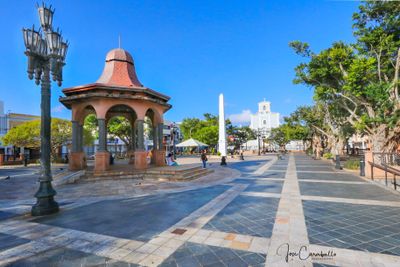
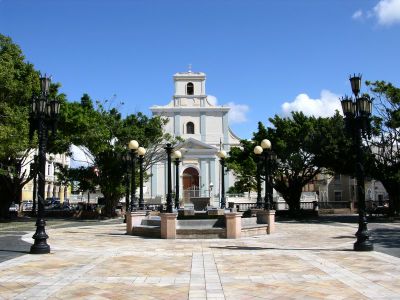
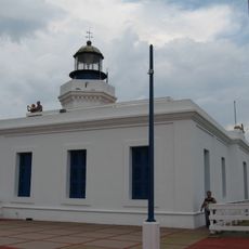
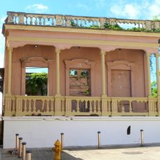
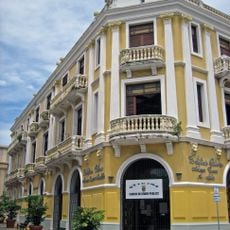
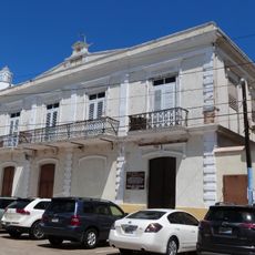
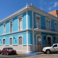
The Cathedral of Saint Philip and the municipal building show Spanish colonial architecture with their stone walls and traditional layouts. These structures served as the religious and civic heart of the settlement from its earliest days.

Practical

The area connects to other regions through a network of highways that provide direct routes to neighboring districts and inland settlements. Travel between towns here is straightforward, with the main road system linking all major neighborhoods.

Did you know?

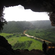
The name comes from a Taíno chief called Xamaica Arasibo who governed the indigenous people here before Spanish arrival. This indigenous origin of the name links the modern community to its pre-colonial past.

Location
Inception
1616
Capital city
Arecibo barrio-pueblo
Elevation above the sea
7 m
Shares border with
Hatillo, Utuado, Ciales, Florida, Barceloneta
GPS coordinates
18.47056,-66.72083
Latest update
December 14, 2025 18:06

AroundUs brings together thousands of curated places, local tips, and hidden gems, enriched daily by 60,000 contributors worldwide. Discover all places nearby (Puerto Rico).

« Arecibo - Administrative district on Puerto Rico's northern coast, US » is provided by Around Us (aroundus.com). Images and texts are derived from Wikimedia project under a Creative Commons license. You are allowed to copy, distribute, and modify copies of this page, under the conditions set by the license, as long as this note is clearly visible.

Discover hidden gems everywhere you go!

From secret cafés to breathtaking viewpoints, skip the crowded tourist spots and find places that match your style. Our app makes it easy with voice search, smart filtering, route optimization, and insider tips from travelers worldwide. Download now for the complete mobile experience.

Around Us App Screenshot

A unique approach to discovering new places

Le Figaro

All the places worth exploring

France Info

A tailor-made excursion in just a few clicks

20 Minutes

Around Us
Travel Guide & Maps
Download

Send to your phone

QR Code
1

Open the camera app on your mobile.

2

Point at the QR code with your camera. A notification will appear.

3

Tap the notification to open the link.