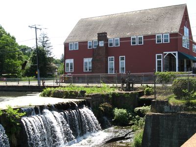
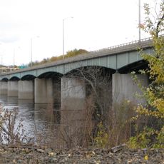
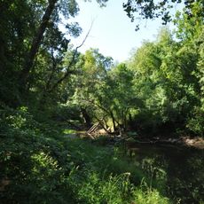
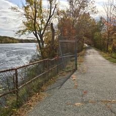
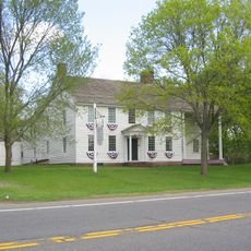
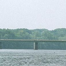
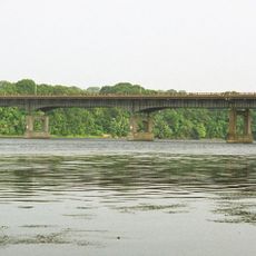
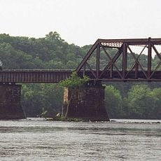
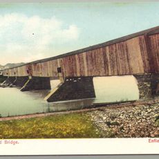
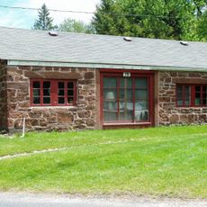
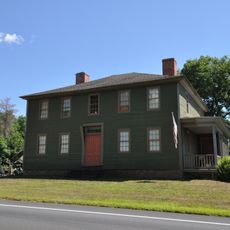
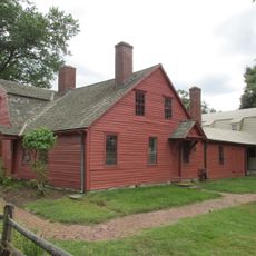
East Windsor, town of Connecticut, United States
Location: Capitol Planning Region
Location: Hartford County
Inception: 1680
Elevation above the sea: 22 m
Website: https://eastwindsor-ct.gov
GPS coordinates: 41.91667,-72.55778
Latest update: March 24, 2025 20:01
Connecticut Trolley Museum
3.5 km
Dexter Coffin Bridge
5.4 km
Scantic River State Park
6.8 km
Windsor Locks Canal State Park Trail
8.7 km
Oliver Ellsworth Homestead
7.1 km
Bridge Street Bridge
5.7 km
Enfield–Suffield Veterans Bridge
9 km
Warehouse Point railroad bridge
5.5 km
Congregation Knesseth Israel
6.8 km
Enfield–Suffield Covered Bridge
7.6 km
Hazardville Historic District
6.9 km
East Windsor Academy
2.5 km
Somersville Historic District
9.1 km
Enfield Town Meetinghouse
7.3 km
Memorial Hall
5.9 km
Bissell Tavern-Bissell's Stage House
6.7 km
Taylor Chapman House
8.2 km
Horace H. Ellsworth House
8.5 km
Palisado Avenue Historic District
9 km
Bridge No. 455
7.4 km
Ellington Center Historic District
7.3 km
Enfield Historic District
7.3 km
Noden-Reed Museum
7 km
Melrose Road Bridge
2.6 km
First Church Parsonage
8.4 km
Ebenezer Grant House
8.4 km
Sophia Sweetland House
8 km
House at 736 Palisado Avenue
7.1 kmReviews
Visited this place? Tap the stars to rate it and share your experience / photos with the community! Try now! You can cancel it anytime.
Discover hidden gems everywhere you go!
From secret cafés to breathtaking viewpoints, skip the crowded tourist spots and find places that match your style. Our app makes it easy with voice search, smart filtering, route optimization, and insider tips from travelers worldwide. Download now for the complete mobile experience.
A unique approach to discovering new places❞
— Le Figaro
All the places worth exploring❞
— France Info
A tailor-made excursion in just a few clicks❞
— 20 Minutes