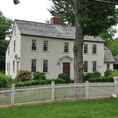
Hazardville Historic District, Greek Revival district in Hazardville, US
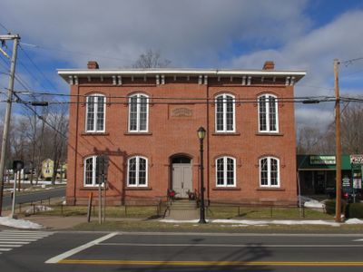
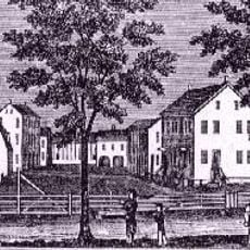
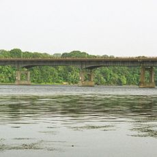
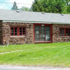
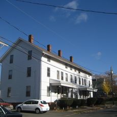
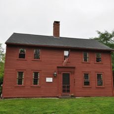
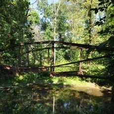
Hazardville Historic District is a 1,075-acre area featuring buildings in Greek Revival style, many with brownstone trim, including churches, schools, and houses lining Hazard Avenue. The settlement contains visible foundations of approximately 21 original Hazard Powder Company buildings, many of which now sit within Scantic River State Park.
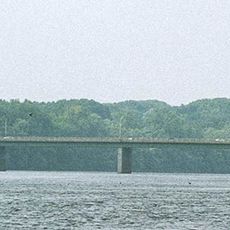
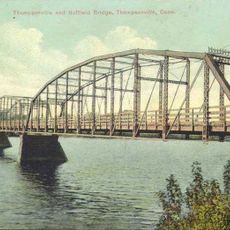
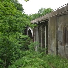
Colonel Augustus George Hazard founded the Hazard Powder Company in 1835, transforming the area into a major gunpowder manufacturing center until 1913. The industrial operation relied on the Scantic River for water power and shaped the region's economy for roughly 80 years.
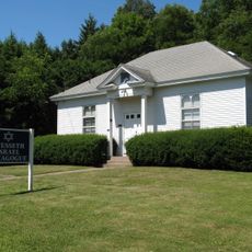
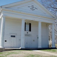
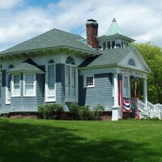
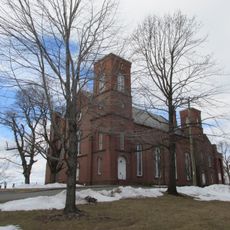
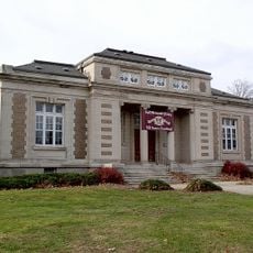
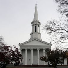
The four main brick buildings, including the Hazardville Institute and Holy Trinity Episcopal Church, reveal how people organized community life in the 19th century. These structures served as gathering places where residents came together for education, worship, and social activities.
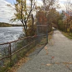
The district sits at about 49 meters elevation and is easy to explore on foot, as building ruins and foundations are scattered throughout the area. The best time to visit is spring through fall, when foundations are fully visible and the weather is mild.
The powder works were notorious for explosion hazards, with several major accidents happening over the decades. This dangerous history remains visible today in the ruins, telling the story of worker resilience and the evolution of safety practices.
The community of curious travelers
AroundUs brings together thousands of curated places, local tips, and hidden gems, enriched daily by 60,000 contributors worldwide.