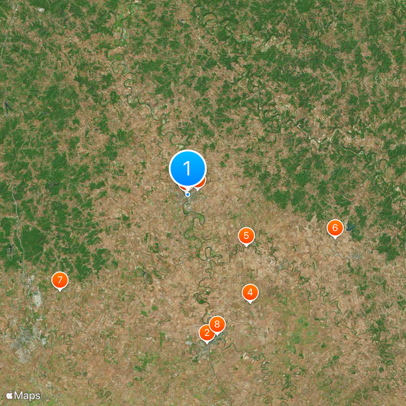
Cynthiana, County seat in Harrison County, Kentucky, United States
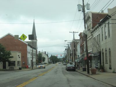
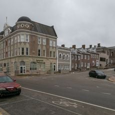
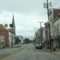
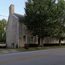
Cynthiana is a city in Harrison County, Kentucky that sits on both sides of the South Fork of the Licking River. It serves as the county seat and is located in the Bluegrass region of the state.
The town began in 1793 when Robert Harrison donated land for its establishment. This act of land donation shaped the early growth and set the foundation for what would become the county's main settlement.
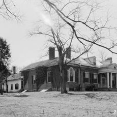
The town's name comes from two sisters, a detail that remains woven into local identity today. Walking through downtown, you see buildings that reflect the town's early settlement roots and founding era.
The town is accessible via U.S. Routes 27 and 62, making it easy to reach from surrounding areas. A regional airport located south of the downtown area offers another transportation option for visitors.
From 1969 through the late 1990s, a major 3M factory here was the global production hub for Post-it notes. This industrial connection shaped the local economy for decades and remains part of the town's recent story.
Location: Harrison County
Inception: 1793
Elevation above the sea: 224 m
Website: http://cynthianaky.com
GPS coordinates: 38.38830,-84.29690
Latest update: December 20, 2025 12:35
Paris Cemetery
20.8 km
Confederate Monument in Cynthiana
1.6 km
The Grange
17.3 km
Colville Covered Bridge
10.8 km
Forest Retreat
21.5 kmOxford Historic District
22.2 kmBourbon County Courthouse
19.9 km
Church of the Advent, Episcopal
409 mJohn Andrew Miller House
25.6 km
Thomas Metcalf House
21.4 kmCooper's Run Baptist Church
15.1 kmNew Zion Historic District
24.5 kmStone House of Indian Creek
4 km
Harrison County Courthouse
123 mJohn Lair House
5.4 km
Stone Barn on Brushy Creek
21 km
Paris Courthouse Square Historic District
19.9 kmKimbrough-Hehr House
8.9 kmThomas Kennedy House
25.2 km
William Mathers House
23.7 kmJohn Hinkson House
5.4 km
Cynthiana Commercial District
10 km
McKee-Vimont Row Houses
16.2 kmHaviland House
4.9 kmJoel Fraizer House
4 kmDolph Aluck Smokehouse
24 km
Covered Bridge over the South Fork of Licking River
170 mStoner Creek
20.1 kmVisited this place? Tap the stars to rate it and share your experience / photos with the community! Try now! You can cancel it anytime.
Discover hidden gems everywhere you go!
From secret cafés to breathtaking viewpoints, skip the crowded tourist spots and find places that match your style. Our app makes it easy with voice search, smart filtering, route optimization, and insider tips from travelers worldwide. Download now for the complete mobile experience.
A unique approach to discovering new places❞
— Le Figaro
All the places worth exploring❞
— France Info
A tailor-made excursion in just a few clicks❞
— 20 Minutes