Enable Location

We need your location to show you interesting places around you

Discover nearby places

Find interesting locations and hidden gems around you

Precise directions

Get accurate directions and distances to places

Your location is never shared with other users. It's only used when you tap the location button.

Harrison County

Log in to your account

Start exploring — it's free

Trusted by 62,994 travelers worldwide

Continue with Google
Continue with Apple
or

We will send you a code to connect

By continuing, you accept our Terms and Conditions and our Privacy Policy

Check your inbox

We've sent a pincode in your inbox. Please enter the code below.

Discussion Reviews 1 Photos
13k Popularity

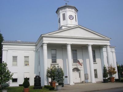
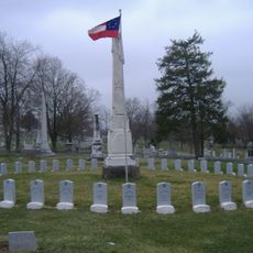
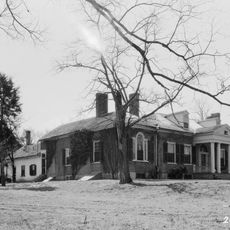
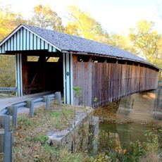
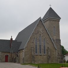
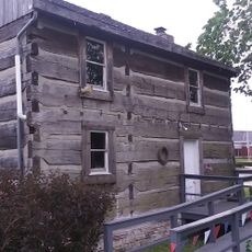
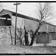
Harrison County, County seat in northern Kentucky, US

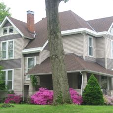
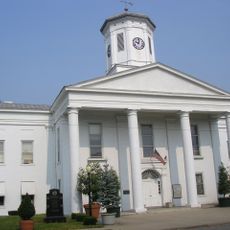
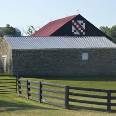
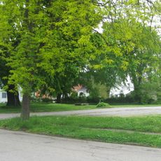
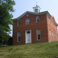
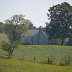
Harrison County is an administrative region in northern Kentucky that stretches across rolling hills and farmland with the South Fork of the Licking River running through it. The county's seat, Cynthiana, serves as the main hub for regional activity and local government.

The county was established in December 1793 and named after Colonel Benjamin Harrison, a former sheriff of Bourbon County. This founding occurred during Kentucky's early settlement period as new administrative divisions were created to organize growing frontier communities.

Cynthiana, the county seat, displays over 30 public murals throughout its streets that reflect local pride and artistic expression. These painted walls are woven into daily life and give the town much of its visual character.

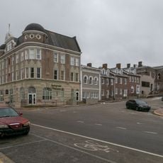
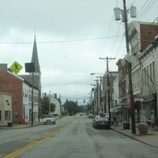
Cynthiana, the county seat, sits at the intersection of U.S. Routes 27 and 62, making it easy to reach Cincinnati to the north and smaller towns to the south. The town serves as a convenient base for exploring the surrounding region and accessing local services.

The Rohs Opera House in Cynthiana preserves its original 1871 structure and continues to function as a movie theater and live performance venue today. This building bridges 19th-century architecture with modern entertainment while maintaining its historic character.

The community of curious travelers

AroundUs brings together thousands of curated places, local tips, and hidden gems, enriched daily by 60,000 contributors worldwide.

Start exploring
Location
Inception
December 21, 1793
Capital city
Cynthiana
Shares border with
Bracken County, Robertson County, Nicholas County, Bourbon County, Scott County, Grant County, Pendleton County
GPS coordinates
38.44000,-84.33000
Latest update
December 7, 2025 20:42
Around this place
Cane Ridge
United States of America

Cane Ridge

29.8 km
Blue Licks Battlefield State Park
United States of America

Blue Licks Battlefield State Park

29.3 km
Yuko-En on the Elkhorn
United States of America

Yuko-En on the Elkhorn

32 km
Cardome Centre
United States of America

Cardome Centre

31.9 km
Confederate Monument in Cynthiana
United States of America

Confederate Monument in Cynthiana

6.6 km
The Grange
United States of America

The Grange

23.8 km
Colville Covered Bridge
United States of America

Colville Covered Bridge

17 km
Forest Retreat
United States of America

Forest Retreat

26.3 km
Spur Gasoline Station
United States of America

Spur Gasoline Station

6.5 km
United States of America

Bourbon County Courthouse

26.2 km
Church of the Advent, Episcopal
United States of America

Church of the Advent, Episcopal

6 km
Thomas Metcalf House
United States of America

Thomas Metcalf House

21.5 km
Charity's House
United States of America

Charity's House

26.7 km
Walker Buckner House
United States of America

Walker Buckner House

31.8 km
Leslie T. Applegate House
United States of America

Leslie T. Applegate House

26.2 km
Harrison County Courthouse
United States of America

Harrison County Courthouse

6.3 km
Stone Barn on Brushy Creek
United States of America

Stone Barn on Brushy Creek

25.9 km
Paris Courthouse Square Historic District
United States of America

Paris Courthouse Square Historic District

26.2 km
Sheehan House
United States of America

Sheehan House

26.6 km
Robertson County Courthouse
United States of America

Robertson County Courthouse

27.6 km
William Mathers House
United States of America

William Mathers House

28.8 km
Bishop House
United States of America

Bishop House

26.3 km
Cynthiana Commercial District
United States of America

Cynthiana Commercial District

8.9 km
Erasmus Riggs House
United States of America

Erasmus Riggs House

31 km
Thomas A. Dorsey Farmhouse
United States of America

Thomas A. Dorsey Farmhouse

30.5 km
McKee-Vimont Row Houses
United States of America

McKee-Vimont Row Houses

22.2 km
William Arnold Log House
United States of America

William Arnold Log House

29.7 km
Covered Bridge over the South Fork of Licking River
United States of America

Covered Bridge over the South Fork of Licking River

6.4 km
Show the full map
Reviews
Share your experience

No review yet

Discussions
Start a discussion...

No discussion yet

« Harrison County - County seat in northern Kentucky, US » is provided by Around Us (aroundus.com). Images and texts are derived from Wikimedia project under a Creative Commons license. You are allowed to copy, distribute, and modify copies of this page, under the conditions set by the license, as long as this note is clearly visible.

Discover hidden gems everywhere you go!

From secret cafés to breathtaking viewpoints, skip the crowded tourist spots and find places that match your style. Our app makes it easy with voice search, smart filtering, route optimization, and insider tips from travelers worldwide. Download now for the complete mobile experience.

Around Us App Screenshot

A unique approach to discovering new places

Le Figaro

All the places worth exploring

France Info

A tailor-made excursion in just a few clicks

20 Minutes

Around Us
Travel Guide & Maps
Download

Send to your phone

QR Code
1

Open the camera app on your mobile.

2

Point at the QR code with your camera. A notification will appear.

3

Tap the notification to open the link.