Blue Licks Battlefield State Park, Historic battlefield and museum in Robertson County, Kentucky.
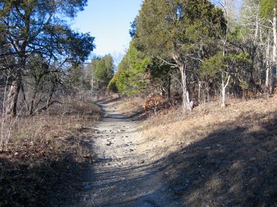
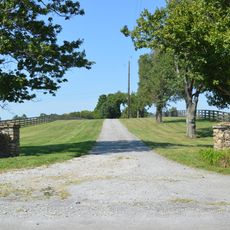
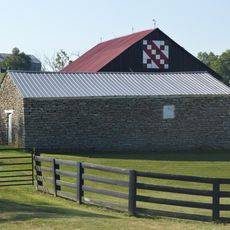
Blue Licks Battlefield State Park is a recreation area built around a historical battle site along the Licking River in eastern Kentucky. The grounds span 148 acres and include hiking paths, camping spaces, and a museum housing regional collections.
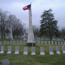
A major battle took place here in 1782 that marked the final large conflict of the Revolutionary War in Kentucky. This event had lasting effects on the settler communities in the region.
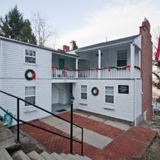
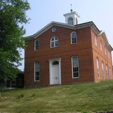
The Pioneer Museum displays objects from early settlement times and the Revolutionary War period, offering a look at how people lived and worked in the region. You can see items that show the daily lives and struggles of those who came before.
The grounds have camping areas with electrical and water hookups as well as trails suited to different fitness levels. Facilities are well-maintained, and you'll find sports amenities and regular educational programs available throughout the year.
The grounds preserve a cedar glade of about 15 acres containing rare plant species including Short's Goldenrod found nowhere else in the region. This natural area is maintained through controlled burns and represents a unique ecosystem.
The community of curious travelers
AroundUs brings together thousands of curated places, local tips, and hidden gems, enriched daily by 60,000 contributors worldwide.