Enable Location

We need your location to show you interesting places around you

Discover nearby places

Find interesting locations and hidden gems around you

Precise directions

Get accurate directions and distances to places

Your location is never shared with other users. It's only used when you tap the location button.

Pennsville Township

Log in to your account

Start exploring — it's free

Trusted by 63,232 travelers worldwide

Continue with Google
Continue with Apple
or

We will send you a code to connect

By continuing, you accept our Terms and Conditions and our Privacy Policy

Check your inbox

We've sent a pincode in your inbox. Please enter the code below.

Discussion Reviews 1 Photos
17.9k Popularity

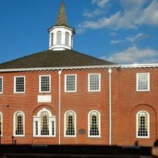
Pennsville Township, township of New Jersey

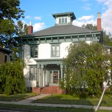
Pennsville Township is a small town in the westernmost part of Salem County. The area sits near the Delaware River and features a mix of homes, small shops, and open spaces with a quiet, welcoming atmosphere.

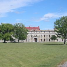
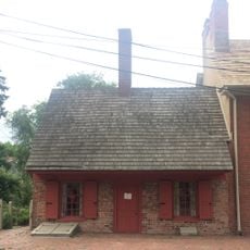
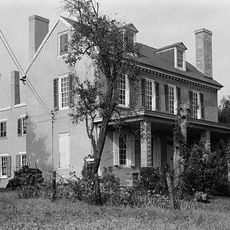
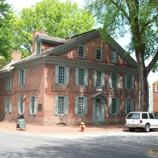
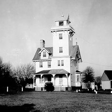
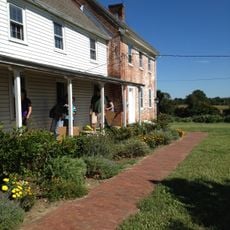
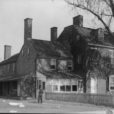
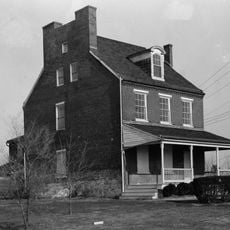
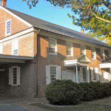
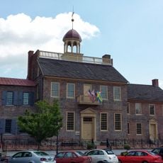
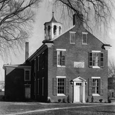
The region was originally known as Hoppemense and settled by Swedes and Finns starting in the 17th century. In 1682, William Penn acquired the land, and the town eventually became known as Pennsville; the 19th century brought growth through river trade and later industries like the DuPont Dye Works.

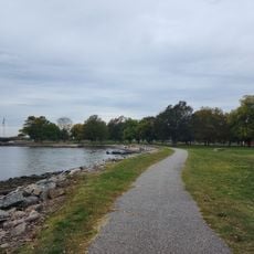
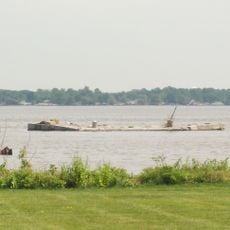
Pennsville takes its name from William Penn, who acquired the region in the 17th century. The community maintains strong ties to its past through fishing, boating, and gatherings along the riverfront, where residents regularly spend time with family and neighbors.

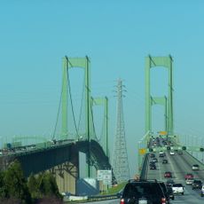
Pennsville is easily reached via US Route 130 and Route 49, which connect to larger cities and bridge routes to Delaware. Public buses also serve the area, making it convenient for commuters to reach nearby towns or Philadelphia.

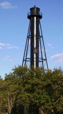
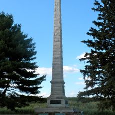
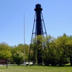
The location stands out for its position at New Jersey's westernmost edge, directly along the Delaware River, making boating and river experiences integral to daily life. Historical markers and sites recall the early Swedish and Finnish settlers who established farms and trading posts in the area.

The community of curious travelers

AroundUs brings together thousands of curated places, local tips, and hidden gems, enriched daily by 60,000 contributors worldwide.

Start exploring
Location
Inception
July 10, 1721
Shares border with
Carneys Point Township, Mannington Township, Salem, Elsinboro Township
GPS coordinates
39.62639,-75.50889
Latest update
February 17, 2026 00:20
Around this place
Delaware Memorial Bridge
United States of America

Delaware Memorial Bridge

6.9 km
Fort Delaware
United States of America

Fort Delaware

6.8 km
First State National Historical Park
United States of America

First State National Historical Park

6.4 km
Fort Mott State Park
United States of America

Fort Mott State Park

4.6 km
Finn's Point National Cemetery
United States of America

Finn's Point National Cemetery

4.4 km
Fort Delaware State Park
United States of America

Fort Delaware State Park

6.6 km
Battery Park
United States of America

Battery Park

5.9 km
Supawna Meadows National Wildlife Refuge
United States of America

Supawna Meadows National Wildlife Refuge

1.5 km
Old Salem County Courthouse
United States of America

Old Salem County Courthouse

6.9 km
Dutch House
United States of America

Dutch House

6 km
Stonum
United States of America

Stonum

7 km
Finns Point Range Light
United States of America

Finns Point Range Light

2.4 km
Amstel House
United States of America

Amstel House

6.2 km
Read House and Garden
United States of America

Read House and Garden

5.8 km
Lesley-Travers Mansion
United States of America

Lesley-Travers Mansion

6.5 km
Bellanca Airfield
United States of America

Bellanca Airfield

7.9 km
New Castle Range Rear Light
United States of America

New Castle Range Rear Light

8.1 km
Market Street Historic District
United States of America

Market Street Historic District

6.8 km
Penn Farm of the Trustees of the New Castle Common
United States of America

Penn Farm of the Trustees of the New Castle Common

8.5 km
The Hermitage
United States of America

The Hermitage

6.7 km
Glebe House
United States of America

Glebe House

6.4 km
Finn's Point Rear Range Light
United States of America

Finn's Point Rear Range Light

2.5 km
New Castle Range Front Light
United States of America

New Castle Range Front Light

7.6 km
Broadway Historic District
United States of America

Broadway Historic District

7.2 km
Hedge-Carpenter-Thompson Historic District
United States of America

Hedge-Carpenter-Thompson Historic District

6.8 km
New Castle County Court House
United States of America

New Castle County Court House

6 km
New Castle Historic District
United States of America

New Castle Historic District

6.1 km
New Castle Ice Piers
United States of America

New Castle Ice Piers

5.7 km
Show the full map
Reviews
Share your experience

No review yet

Discussions
Start a discussion...

No discussion yet

« Pennsville Township - township of New Jersey » is provided by Around Us (aroundus.com). Images and texts are derived from Wikimedia project under a Creative Commons license. You are allowed to copy, distribute, and modify copies of this page, under the conditions set by the license, as long as this note is clearly visible.

Discover hidden gems everywhere you go!

From secret cafés to breathtaking viewpoints, skip the crowded tourist spots and find places that match your style. Our app makes it easy with voice search, smart filtering, route optimization, and insider tips from travelers worldwide. Download now for the complete mobile experience.

Around Us App Screenshot

A unique approach to discovering new places

Le Figaro

All the places worth exploring

France Info

A tailor-made excursion in just a few clicks

20 Minutes

Around Us
Travel Guide & Maps
Download

Send to your phone

QR Code
1

Open the camera app on your mobile.

2

Point at the QR code with your camera. A notification will appear.

3

Tap the notification to open the link.